7029 Boulder Pointe Dr Unit 83 Washington, MI 48094
Estimated Value: $358,000 - $404,000
--
Bed
2
Baths
1,926
Sq Ft
$194/Sq Ft
Est. Value
About This Home
This home is located at 7029 Boulder Pointe Dr Unit 83, Washington, MI 48094 and is currently estimated at $373,166, approximately $193 per square foot. 7029 Boulder Pointe Dr Unit 83 is a home located in Macomb County with nearby schools including Cross Of Glory Lutheran School and Peace Lutheran School.
Ownership History
Date
Name
Owned For
Owner Type
Purchase Details
Closed on
Oct 7, 2024
Sold by
Quinn Michael
Bought by
Quinn Marilyn
Current Estimated Value
Purchase Details
Closed on
Apr 9, 2018
Sold by
West Road Boulder Llc
Bought by
Quinn Marilyn M and Quinn Michael
Home Financials for this Owner
Home Financials are based on the most recent Mortgage that was taken out on this home.
Original Mortgage
$194,265
Interest Rate
4.43%
Mortgage Type
New Conventional
Create a Home Valuation Report for This Property
The Home Valuation Report is an in-depth analysis detailing your home's value as well as a comparison with similar homes in the area
Home Values in the Area
Average Home Value in this Area
Purchase History
| Date | Buyer | Sale Price | Title Company |
|---|---|---|---|
| Quinn Marilyn | -- | None Listed On Document | |
| Quinn Marilyn | -- | None Listed On Document | |
| Quinn Marilyn M | $259,020 | Ata National Title Group Llc |
Source: Public Records
Mortgage History
| Date | Status | Borrower | Loan Amount |
|---|---|---|---|
| Previous Owner | Quinn Marilyn M | $194,265 |
Source: Public Records
Tax History Compared to Growth
Tax History
| Year | Tax Paid | Tax Assessment Tax Assessment Total Assessment is a certain percentage of the fair market value that is determined by local assessors to be the total taxable value of land and additions on the property. | Land | Improvement |
|---|---|---|---|---|
| 2025 | $4,617 | $164,600 | $0 | $0 |
| 2024 | $3,119 | $163,700 | $0 | $0 |
| 2023 | $3,006 | $148,200 | $0 | $0 |
| 2022 | $4,177 | $140,400 | $0 | $0 |
| 2021 | $4,086 | $133,900 | $0 | $0 |
| 2020 | $2,783 | $127,600 | $0 | $0 |
| 2019 | $3,797 | $126,800 | $0 | $0 |
| 2018 | $769 | $93,600 | $0 | $0 |
Source: Public Records
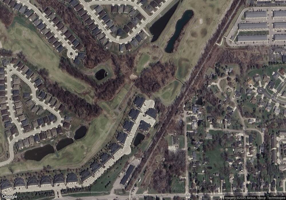
Map
Nearby Homes
- 6933 Boulder Pointe Dr Unit 59
- 6797 Boulder Pointe Dr Unit 25
- 6725 Boulder Pointe Dr Unit 7
- 6713 Boulder Pointe Dr Unit 4
- 58152 Carbine
- 58144 Pheasant Ridge
- 7427 Emerson
- 7656 Amanda Cir Unit 26
- 58019 Van Dyke Rd
- 7250 Lindrath
- 00 Oakridge Dr
- 8400 27 Mile Rd Unit Lot 2
- 8400 27 Mile Rd Unit Lot 1
- 59601 Van Dyke Rd
- 0 Cathey Unit Lot 4
- 0 Cathey Unit Lot 5
- 57136 Megan Dr
- 57016 Megan Dr
- 6109 Whispering Oak Dr
- 60023 Trailwood St
- 6998 Boulder Pointe Ct Unit 94/16
- 6994 Boulder Pointe Ct Unit 93/16
- 7002 Boulder Pointe Ct Unit 95/16
- 6990 Boulder Pointe Ct Unit 92/16
- 7006 Boulder Pointe Ct Unit 96/16
- 6986 Boulder Pointe Ct Unit 91/16
- 7006 Boulder Pointe Ct Unit 96
- 7002 Boulder Pointe Ct Unit 95
- 6998 Boulder Pointe Ct Unit 94
- 6994 Boulder Pointe Ct Unit 93
- 6990 Boulder Pointe Ct Unit 92
- 6986 Boulder Pointe Ct Unit 91
- 7033 Boulder Pointe Dr Unit 84
- 7021 Boulder Pointe Dr Unit 81
- 7017 Boulder Pointe Dr Unit 80
- 7013 Boulder Pointe Dr Unit 79
- 7009 Boulder Pointe Dr Unit 78
- 7005 Boulder Pointe Dr Unit 77
- 7001 Boulder Pointe Dr Unit 76
- 6989 Boulder Pointe Dr Unit 73