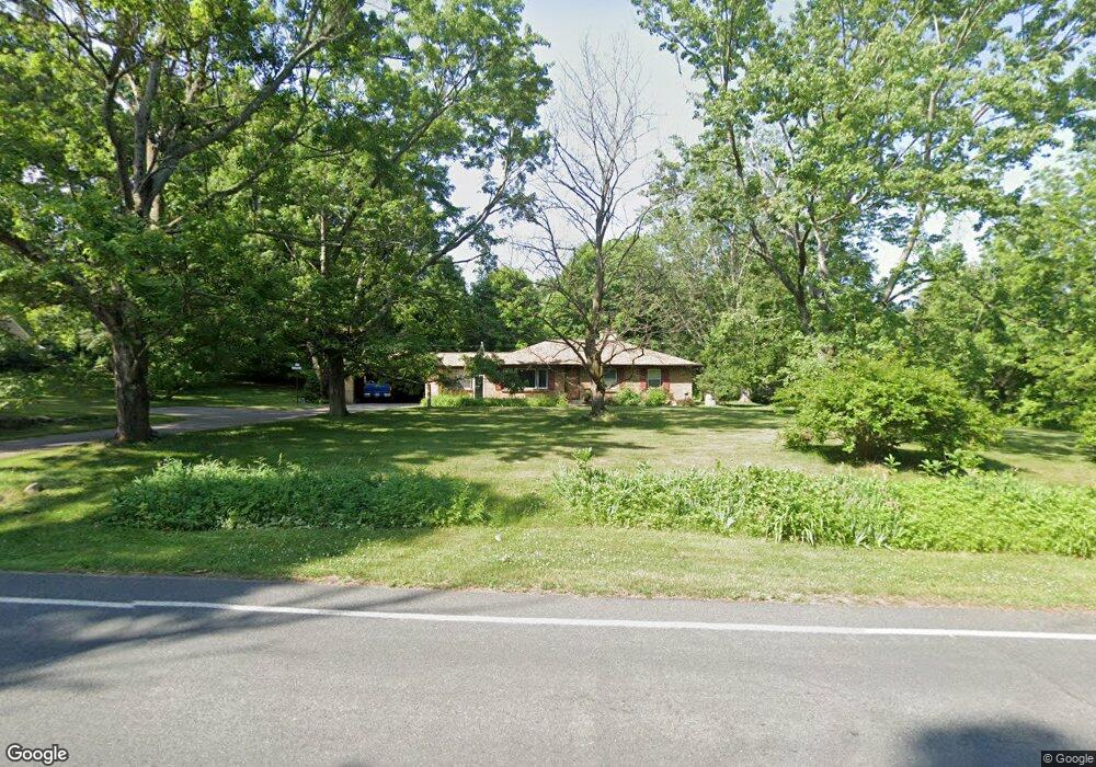
7033 Ravine Rd Kalamazoo, MI 49009
Estimated Value: $218,998 - $359,000
--
Bed
--
Bath
2,048
Sq Ft
$149/Sq Ft
Est. Value
About This Home
This home is located at 7033 Ravine Rd, Kalamazoo, MI 49009 and is currently estimated at $305,000, approximately $148 per square foot. 7033 Ravine Rd is a home located in Kalamazoo County with nearby schools including Otsego High School and Kalamazoo Seventh-day Adventist Junior Academy.
Ownership History
Date
Name
Owned For
Owner Type
Purchase Details
Closed on
Mar 14, 2014
Sold by
Cleveland Scott A and Cleveland Karen K
Bought by
Banfield Bradley R
Current Estimated Value
Home Financials for this Owner
Home Financials are based on the most recent Mortgage that was taken out on this home.
Original Mortgage
$60,000
Outstanding Balance
$17,621
Interest Rate
4.29%
Mortgage Type
New Conventional
Estimated Equity
$287,379
Purchase Details
Closed on
May 12, 2005
Sold by
Grinnell Robert K and Grinnell Patricia R
Bought by
Cleveland Scott A and Cleveland Karen K
Home Financials for this Owner
Home Financials are based on the most recent Mortgage that was taken out on this home.
Original Mortgage
$140,000
Interest Rate
6.05%
Mortgage Type
Fannie Mae Freddie Mac
Create a Home Valuation Report for This Property
The Home Valuation Report is an in-depth analysis detailing your home's value as well as a comparison with similar homes in the area
Home Values in the Area
Average Home Value in this Area
Purchase History
| Date | Buyer | Sale Price | Title Company |
|---|---|---|---|
| Banfield Bradley R | $160,000 | Chicago Title Company | |
| Cleveland Scott A | $175,000 | -- |
Source: Public Records
Mortgage History
| Date | Status | Borrower | Loan Amount |
|---|---|---|---|
| Open | Banfield Bradley R | $60,000 | |
| Previous Owner | Cleveland Scott A | $140,000 |
Source: Public Records
Tax History Compared to Growth
Tax History
| Year | Tax Paid | Tax Assessment Tax Assessment Total Assessment is a certain percentage of the fair market value that is determined by local assessors to be the total taxable value of land and additions on the property. | Land | Improvement |
|---|---|---|---|---|
| 2025 | $427 | $43,800 | $0 | $0 |
| 2024 | $129 | $38,600 | $0 | $0 |
| 2023 | $129 | $28,700 | $0 | $0 |
| 2022 | $129 | $24,100 | $0 | $0 |
| 2021 | $129 | $23,100 | $0 | $0 |
| 2020 | $246 | $22,800 | $0 | $0 |
| 2019 | $360 | $22,600 | $0 | $0 |
| 2018 | $0 | $13,000 | $0 | $0 |
| 2017 | $0 | $13,000 | $0 | $0 |
| 2016 | -- | $12,300 | $0 | $0 |
| 2015 | -- | $11,000 | $0 | $0 |
| 2014 | -- | $12,900 | $0 | $0 |
Source: Public Records
Map
Nearby Homes
- Parcel A D Ave W
- 7160 N 12th St
- 0 W D Ave W Unit VL 24060554
- 1 Millberg Ridge
- 7076 Turkey Glen Trail
- 8060 Hunters Crossing
- 7841 W D Ave
- 4034 N 9th Street & Vl W Gh Ave
- 6029 Farhills Way
- 6115 Far Hills Way
- 8815 N 14th St
- 4022 Rockwood Dr
- 3700 Oakharbor St
- 3706 Northview Dr
- 3992 Marietta Cir Unit 33
- 6368 Hollison Dr
- 5205 Kitz Way
- 4770 Weston Ave
- 3302 Northview Dr
- 4931 Weston Ave