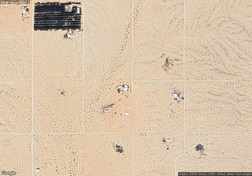
70373 Orion St Twentynine Palms, CA 92277
Estimated Value: $328,000 - $354,000
3
Beds
2
Baths
2,239
Sq Ft
$152/Sq Ft
Est. Value
About This Home
This home is located at 70373 Orion St, Twentynine Palms, CA 92277 and is currently estimated at $340,843, approximately $152 per square foot. 70373 Orion St is a home located in San Bernardino County with nearby schools including Twentynine Palms Elementary School, Twentynine Palms Junior High School, and Twentynine Palms High School.
Ownership History
Date
Name
Owned For
Owner Type
Purchase Details
Closed on
Feb 16, 2006
Sold by
Chavez Leta M
Bought by
Louies Gary Francis
Current Estimated Value
Purchase Details
Closed on
Aug 14, 1997
Sold by
Pahl Helen E and Pahl Arthur G
Bought by
Chavez Leta M
Purchase Details
Closed on
Feb 27, 1996
Sold by
Pahl Helen Eloise
Bought by
Pahl Arthur G and Pahl Helen E
Purchase Details
Closed on
Aug 18, 1995
Sold by
Pahl Helen Eloise
Bought by
Pahl Arthur G and Pahl Helen E
Create a Home Valuation Report for This Property
The Home Valuation Report is an in-depth analysis detailing your home's value as well as a comparison with similar homes in the area
Home Values in the Area
Average Home Value in this Area
Purchase History
| Date | Buyer | Sale Price | Title Company |
|---|---|---|---|
| Louies Gary Francis | -- | None Available | |
| Chavez Leta M | -- | -- | |
| Pahl Arthur G | -- | -- | |
| Pahl Arthur G | -- | -- |
Source: Public Records
Tax History Compared to Growth
Tax History
| Year | Tax Paid | Tax Assessment Tax Assessment Total Assessment is a certain percentage of the fair market value that is determined by local assessors to be the total taxable value of land and additions on the property. | Land | Improvement |
|---|---|---|---|---|
| 2025 | $898 | $59,620 | $2,527 | $57,093 |
| 2024 | $898 | $58,451 | $2,477 | $55,974 |
| 2023 | $881 | $57,304 | $2,428 | $54,876 |
| 2022 | $864 | $56,180 | $2,380 | $53,800 |
| 2021 | $852 | $55,078 | $2,333 | $52,745 |
| 2020 | $843 | $54,513 | $2,309 | $52,204 |
| 2019 | $834 | $53,444 | $2,264 | $51,180 |
| 2018 | $820 | $52,396 | $2,220 | $50,176 |
| 2017 | $810 | $51,368 | $2,176 | $49,192 |
| 2016 | $795 | $50,360 | $2,133 | $48,227 |
| 2015 | $715 | $49,604 | $2,101 | $47,503 |
| 2014 | $711 | $48,632 | $2,060 | $46,572 |
Source: Public Records
Map
Nearby Homes
- 0 Barbara Ln
- 380 Mack Ln
- 290 Bluegrass Ave
- 70125 Rainbow Rd
- 0 Bluegrass Ave Unit 219107463PS
- 0 Papoose Trail Unit IV25251989
- 0 Papoose Trail Unit SR25241846
- 0 El Bandido Way Unit EV22020127
- 69886 Warren Ln
- 1020 Shoshone Valley Rd
- 69626 Brant Cross Rd
- 660 W Highnoon
- 72670 Pole Line Rd
- 68200 Pole Line Rd
- 1421 Sunrise Ave
- 0 Mac Rae Rd
- 71522 Winters Rd
- 69172 Papoose Trail
- 72082 Winters Rd
- 7319 Lupine Ave
- 880 Alfalfa Ave
- 826 Canyon Rd
- 874 Canyon Rd
- 70353 Winters Rd
- 70451 El Sereno
- 908 Canyon Rd
- 724 Bluegrass Ave
- 881 Alfalfa Ave
- 70529 Winters Rd
- 943 Canyon Rd
- 700 Bluegrass Ave
- 0 Orion St
- 690 Bluegrass Ave
- 621 Bluegrass
- 0 Bermuda Ave Unit DC21129641
- 0 Bermuda Ave Unit SB13069432
- 0 Bermuda Ave Unit JT21255216
- 0 Bermuda Ave Unit 41365365DA
- 624 Canyon Rd
- 963 Canyon Rd
