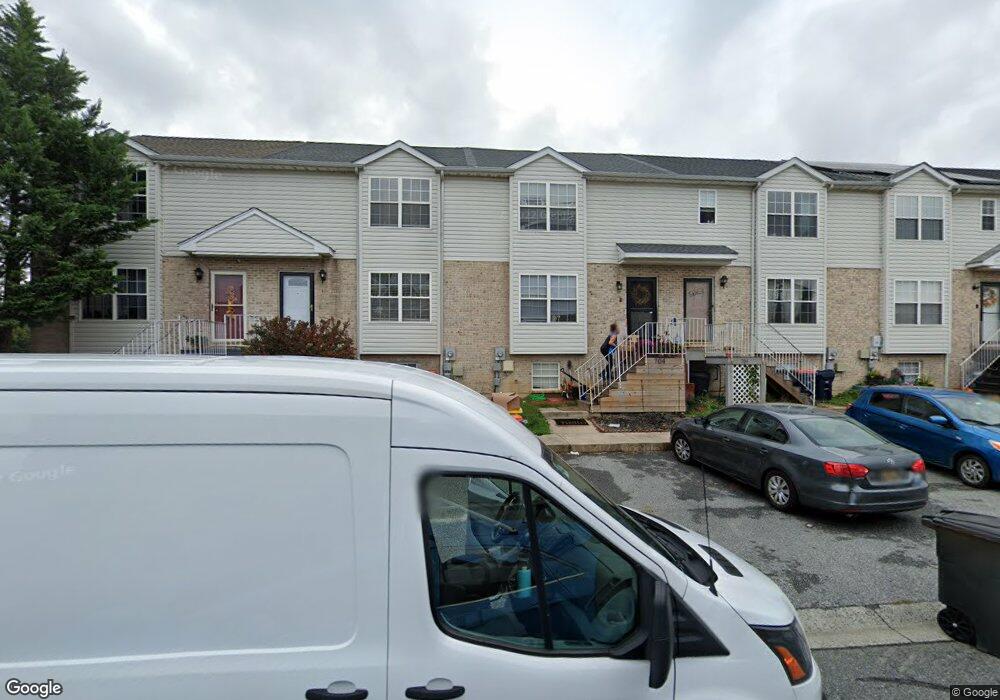
704 Marian Dr Middletown, DE 19709
Estimated Value: $262,000 - $282,000
3
Beds
2
Baths
1,200
Sq Ft
$229/Sq Ft
Est. Value
About This Home
This home is located at 704 Marian Dr, Middletown, DE 19709 and is currently estimated at $274,516, approximately $228 per square foot. 704 Marian Dr is a home located in New Castle County with nearby schools including Bunker Hill Elementary School, Everett Meredith Middle School, and Appoquinimink High School.
Ownership History
Date
Name
Owned For
Owner Type
Purchase Details
Closed on
Oct 10, 2023
Sold by
Yalley Robert M and Yalley Lisa
Bought by
Bynum Lisa
Current Estimated Value
Purchase Details
Closed on
Aug 28, 2006
Sold by
Gonzalez Victoria N
Bought by
Bynum Yalley Iii Robert M and Bynum Yalley Lisa
Home Financials for this Owner
Home Financials are based on the most recent Mortgage that was taken out on this home.
Original Mortgage
$197,496
Interest Rate
7.87%
Mortgage Type
Purchase Money Mortgage
Purchase Details
Closed on
Aug 26, 2002
Sold by
Lenape Homes Inc
Bought by
Gonzales Victoria N
Home Financials for this Owner
Home Financials are based on the most recent Mortgage that was taken out on this home.
Original Mortgage
$105,069
Interest Rate
6.55%
Mortgage Type
FHA
Create a Home Valuation Report for This Property
The Home Valuation Report is an in-depth analysis detailing your home's value as well as a comparison with similar homes in the area
Home Values in the Area
Average Home Value in this Area
Purchase History
| Date | Buyer | Sale Price | Title Company |
|---|---|---|---|
| Bynum Lisa | -- | None Listed On Document | |
| Bynum Yalley Iii Robert M | $197,496 | None Available | |
| Gonzales Victoria N | $107,285 | -- |
Source: Public Records
Mortgage History
| Date | Status | Borrower | Loan Amount |
|---|---|---|---|
| Previous Owner | Bynum Yalley Iii Robert M | $197,496 | |
| Previous Owner | Gonzales Victoria N | $105,069 | |
| Closed | Gonzales Victoria N | $7,500 |
Source: Public Records
Tax History Compared to Growth
Tax History
| Year | Tax Paid | Tax Assessment Tax Assessment Total Assessment is a certain percentage of the fair market value that is determined by local assessors to be the total taxable value of land and additions on the property. | Land | Improvement |
|---|---|---|---|---|
| 2024 | $1,470 | $39,900 | $3,300 | $36,600 |
| 2023 | $120 | $39,900 | $3,300 | $36,600 |
| 2022 | $1,227 | $39,900 | $3,300 | $36,600 |
| 2021 | $1,200 | $39,900 | $3,300 | $36,600 |
| 2020 | $1,186 | $39,900 | $3,300 | $36,600 |
| 2019 | $1,219 | $39,900 | $3,300 | $36,600 |
| 2018 | $1,052 | $39,900 | $3,300 | $36,600 |
| 2017 | $1,012 | $39,900 | $3,300 | $36,600 |
| 2016 | $910 | $39,900 | $3,300 | $36,600 |
| 2015 | $999 | $39,900 | $3,300 | $36,600 |
| 2014 | $997 | $39,900 | $3,300 | $36,600 |
Source: Public Records
Map
Nearby Homes
- 131 Rosie Dr
- 1023 Bunker Hill Rd
- 367 E Harvest Ln
- 237 Trellis Ln
- 306 E Harvest Ln
- 402 Topiary Ln
- 715 Dairy Dr
- 14 W Lake St
- 832 Woodline Dr
- 20 W Main St
- The Easton Plan at The Grove at Bayberry
- The Wyatt Plan at The Grove at Bayberry
- The Brooks Plan at The Grove at Bayberry
- The Oxford Plan at The Grove at Bayberry
- The Laurel Plan at The Grove at Bayberry
- The Dalton Plan at The Grove at Bayberry
- 47 Franklin Dr
- 47 Spring Arbor Dr
- 6 Kimberly Dr
- 335 Marldale Dr