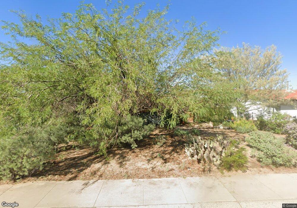
704 W Howe St Tempe, AZ 85281
Mitchell Park West NeighborhoodEstimated Value: $370,000 - $589,000
Studio
2
Baths
1,679
Sq Ft
$284/Sq Ft
Est. Value
About This Home
This home is located at 704 W Howe St, Tempe, AZ 85281 and is currently estimated at $477,336, approximately $284 per square foot. 704 W Howe St is a home located in Maricopa County with nearby schools including Geneva Epps Mosley Middle School, Tempe High School, and New School for the Arts & Academics.
Ownership History
Date
Name
Owned For
Owner Type
Purchase Details
Closed on
Oct 31, 2025
Sold by
Kane Colleen A
Bought by
Kane Colleen A and Gesell James Robert
Current Estimated Value
Home Financials for this Owner
Home Financials are based on the most recent Mortgage that was taken out on this home.
Original Mortgage
$105,000
Outstanding Balance
$105,000
Interest Rate
6.34%
Mortgage Type
New Conventional
Estimated Equity
$372,336
Purchase Details
Closed on
Jan 31, 1995
Sold by
Sterling Jolee Rogelstad
Bought by
Kane Colleen A
Home Financials for this Owner
Home Financials are based on the most recent Mortgage that was taken out on this home.
Original Mortgage
$15,383
Interest Rate
9.03%
Mortgage Type
Seller Take Back
Create a Home Valuation Report for This Property
The Home Valuation Report is an in-depth analysis detailing your home's value as well as a comparison with similar homes in the area
Home Values in the Area
Average Home Value in this Area
Purchase History
| Date | Buyer | Sale Price | Title Company |
|---|---|---|---|
| Kane Colleen A | -- | Pioneer Title Agency | |
| Kane Colleen A | $75,000 | United Title Agency |
Source: Public Records
Mortgage History
| Date | Status | Borrower | Loan Amount |
|---|---|---|---|
| Open | Kane Colleen A | $105,000 | |
| Previous Owner | Kane Colleen A | $15,383 |
Source: Public Records
Tax History
| Year | Tax Paid | Tax Assessment Tax Assessment Total Assessment is a certain percentage of the fair market value that is determined by local assessors to be the total taxable value of land and additions on the property. | Land | Improvement |
|---|---|---|---|---|
| 2025 | $2,179 | $20,900 | -- | -- |
| 2024 | $1,999 | $19,905 | -- | -- |
| 2023 | $1,999 | $40,750 | $8,150 | $32,600 |
| 2022 | $1,909 | $30,610 | $6,120 | $24,490 |
| 2021 | $1,947 | $28,350 | $5,670 | $22,680 |
| 2020 | $1,882 | $25,810 | $5,160 | $20,650 |
| 2019 | $1,846 | $23,860 | $4,770 | $19,090 |
| 2018 | $1,797 | $21,220 | $4,240 | $16,980 |
| 2017 | $1,740 | $19,550 | $3,910 | $15,640 |
| 2016 | $1,732 | $18,880 | $3,770 | $15,110 |
| 2015 | $1,675 | $17,810 | $3,560 | $14,250 |
Source: Public Records
Map
Nearby Homes
- 620 W Howe St
- 1215 S Judd St
- 522 W Howe St
- 538 W 13th St
- 538 W 13th St Unit A
- 1226 S Roosevelt St
- 1218 S Farmer Ave
- 1101 S Farmer Ave
- 1234 S Farmer Ave
- 542 W 15th St
- 700 W University Dr Unit 122
- 700 W University Dr Unit 253
- 535 W 15th St
- 919 W Parkway Blvd
- 538 W 16th St
- 942 S Ash Ave Unit 103
- 948 S Ash Ave
- 63 W 13th St Unit 63 & 69
- 1120 W Romo Jones St
- 117 W 10th St
