Estimated Value: $364,590
Studio
1
Bath
5,820
Sq Ft
$63/Sq Ft
Est. Value
About This Home
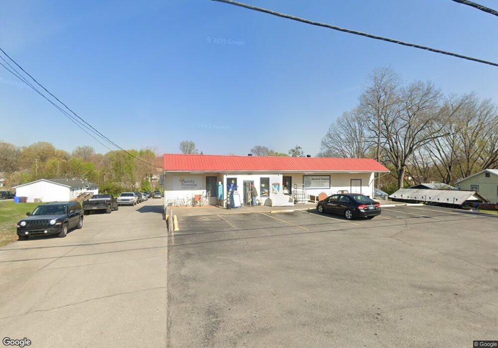
This home is located at 705 E Lincoln Rd, Alcoa, TN 37701 and is currently estimated at $364,590, approximately $62 per square foot. 705 E Lincoln Rd is a home located in Blount County with nearby schools including Alcoa Elementary School, Alcoa Middle School, and Alcoa High School.
Ownership History
Date
Name
Owned For
Owner Type
Purchase Details
Closed on
Sep 29, 2006
Sold by
Automotive Partners Inc
Bought by
Denton Luther E
Current Estimated Value
Purchase Details
Closed on
Sep 26, 2006
Bought by
Denton Luther E and Denton Linda G
Purchase Details
Closed on
Sep 25, 2006
Bought by
Lamon & Mcdaniel Llc
Purchase Details
Closed on
Nov 20, 1986
Bought by
Lamon James Randall and Dish Thomas R
Purchase Details
Closed on
Oct 24, 1986
Purchase Details
Closed on
Jan 1, 1984
Create a Home Valuation Report for This Property
The Home Valuation Report is an in-depth analysis detailing your home's value as well as a comparison with similar homes in the area
Home Values in the Area
Average Home Value in this Area
Purchase History
| Date | Buyer | Sale Price | Title Company |
|---|---|---|---|
| Denton Luther E | $155,000 | -- | |
| Lamon And Mcdaniel Llc | $129,838 | -- | |
| Denton Luther E | $155,000 | -- | |
| Lamon & Mcdaniel Llc | $129,800 | -- | |
| Lamon James Randall | -- | -- | |
| -- | $22,100 | -- | |
| -- | $14,500 | -- |
Source: Public Records
Tax History
| Year | Tax Paid | Tax Assessment Tax Assessment Total Assessment is a certain percentage of the fair market value that is determined by local assessors to be the total taxable value of land and additions on the property. | Land | Improvement |
|---|---|---|---|---|
| 2025 | -- | $133,760 | $32,000 | $101,760 |
| 2024 | -- | $133,760 | $32,000 | $101,760 |
| 2023 | $4,388 | $133,760 | $32,000 | $101,760 |
| 2022 | $4,151 | $87,560 | $20,000 | $67,560 |
| 2021 | $4,151 | $87,560 | $20,000 | $67,560 |
| 2020 | $4,151 | $87,560 | $20,000 | $67,560 |
| 2019 | $4,151 | $87,560 | $20,000 | $67,560 |
| 2018 | $3,720 | $83,960 | $25,000 | $58,960 |
| 2017 | $3,720 | $83,960 | $25,000 | $58,960 |
| 2016 | $3,720 | $83,960 | $25,000 | $58,960 |
| 2015 | $3,451 | $83,960 | $25,000 | $58,960 |
| 2014 | $2,919 | $83,960 | $25,000 | $58,960 |
| 2013 | $2,919 | $71,000 | $0 | $0 |
Source: Public Records
Map
Nearby Homes
- 404 N 5th St
- 104 Roosevelt St
- 835 E Lincoln Rd
- 200 N 5th St
- 106 S 5th St
- 1518 Irwin Ave
- 360 N Wright Rd
- 1802 Jett Rd
- 1821 Bennett Village Dr
- 1832 Bennett Village Dr
- 1725 Bennett Village Dr
- 1736 Bennett Village Dr
- 1723 Bennett Village Dr
- 1727 Bennett Village Dr
- 1728 Bennett Village Dr
- 1617 Bennett Village Dr
- 1737 Bennett Village Dr
- 1718 Bennett Village Dr
- 1720 Bennett Village Dr
- 1807 Bennett Village Dr
- 112 Harding St Unit 114
- 701 E Lincoln Rd
- 725 E Lincoln Rd
- 1104 Grant St
- 1106 Grant St
- 1102 Grant St
- 1108 Grant St
- 735 E Lincoln Rd
- 699 E Lincoln Rd
- 1100 Grant St
- 718 Lincoln Rd
- 1110 Grant St
- 712 Lincoln Rd
- 726 Lincoln Rd
- 728 Lincoln Rd
- 1112 Grant St
- 697 E Lincoln Rd
- 690 Grant St
- 736 Lincoln Rd
- 408 N 5th St
Your Personal Tour Guide
Ask me questions while you tour the home.