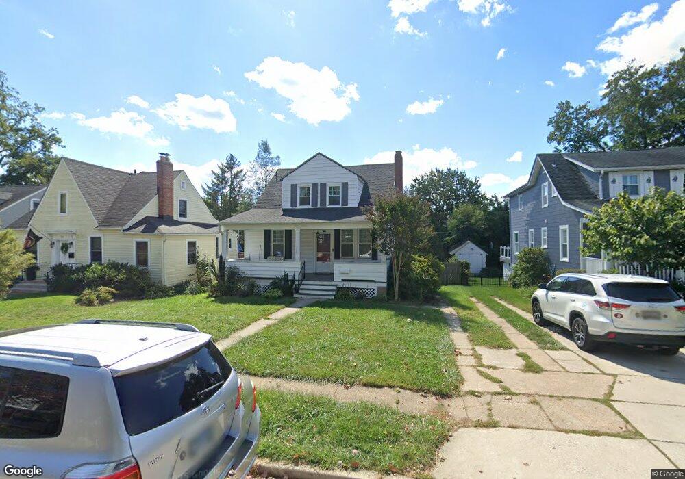
705 Murdock Rd Baltimore, MD 21212
Estimated Value: $436,000 - $530,000
Studio
2
Baths
1,340
Sq Ft
$355/Sq Ft
Est. Value
About This Home
This home is located at 705 Murdock Rd, Baltimore, MD 21212 and is currently estimated at $476,302, approximately $355 per square foot. 705 Murdock Rd is a home located in Baltimore County with nearby schools including Stoneleigh Elementary School, Dumbarton Middle School, and Towson High Law & Public Policy.
Ownership History
Date
Name
Owned For
Owner Type
Purchase Details
Closed on
Mar 14, 2007
Sold by
Brooks Lucien B
Bought by
Seechuk Kimberly
Current Estimated Value
Home Financials for this Owner
Home Financials are based on the most recent Mortgage that was taken out on this home.
Original Mortgage
$70,200
Outstanding Balance
$42,393
Interest Rate
6.4%
Mortgage Type
Credit Line Revolving
Estimated Equity
$433,909
Purchase Details
Closed on
Mar 1, 2007
Sold by
Brooks Lucien B
Bought by
Seechuk Kimberly
Home Financials for this Owner
Home Financials are based on the most recent Mortgage that was taken out on this home.
Original Mortgage
$70,200
Outstanding Balance
$42,393
Interest Rate
6.4%
Mortgage Type
Credit Line Revolving
Estimated Equity
$433,909
Create a Home Valuation Report for This Property
The Home Valuation Report is an in-depth analysis detailing your home's value as well as a comparison with similar homes in the area
Home Values in the Area
Average Home Value in this Area
Purchase History
| Date | Buyer | Sale Price | Title Company |
|---|---|---|---|
| Seechuk Kimberly | $296,000 | -- | |
| Seechuk Kimberly | $296,000 | -- |
Source: Public Records
Mortgage History
| Date | Status | Borrower | Loan Amount |
|---|---|---|---|
| Open | Seechuk Kimberly | $70,200 | |
| Open | Seechuk Kimberly | $211,000 | |
| Closed | Seechuk Kimberly | $70,200 | |
| Closed | Seechuk Kimberly | $211,000 |
Source: Public Records
Tax History
| Year | Tax Paid | Tax Assessment Tax Assessment Total Assessment is a certain percentage of the fair market value that is determined by local assessors to be the total taxable value of land and additions on the property. | Land | Improvement |
|---|---|---|---|---|
| 2025 | $4,117 | $332,300 | $99,700 | $232,600 |
| 2024 | $4,117 | $313,233 | $0 | $0 |
| 2023 | $1,986 | $294,167 | $0 | $0 |
| 2022 | $3,779 | $275,100 | $94,700 | $180,400 |
| 2021 | $3,734 | $272,167 | $0 | $0 |
| 2020 | $3,734 | $269,233 | $0 | $0 |
| 2019 | $3,711 | $266,300 | $94,700 | $171,600 |
| 2018 | $3,663 | $258,133 | $0 | $0 |
| 2017 | $3,398 | $249,967 | $0 | $0 |
| 2016 | $3,314 | $241,800 | $0 | $0 |
| 2015 | $3,314 | $241,800 | $0 | $0 |
| 2014 | $3,314 | $241,800 | $0 | $0 |
Source: Public Records
Map
Nearby Homes
- 625 Dunkirk Rd
- 664 Regester Ave
- 722 Anneslie Rd
- 633 Anneslie Rd
- 613 Anneslie Rd
- 615 Overbrook Rd
- 529 Overbrook Rd
- 6225 Chinquapin Pkwy
- 12 Stone Ridge Ct
- 501 Stoneleigh Rd
- 820 Cedarcroft Rd
- 726 Highwood Dr
- 1117 Walker Ave
- 6504 Crestwood Rd
- 6923 Summit Cir
- 318 Hopkins Rd
- 6750 Glenkirk Rd
- 709 Cedarcroft Rd
- 1206 Cedarcroft Rd
- 411 Gittings Ave
Your Personal Tour Guide
Ask me questions while you tour the home.