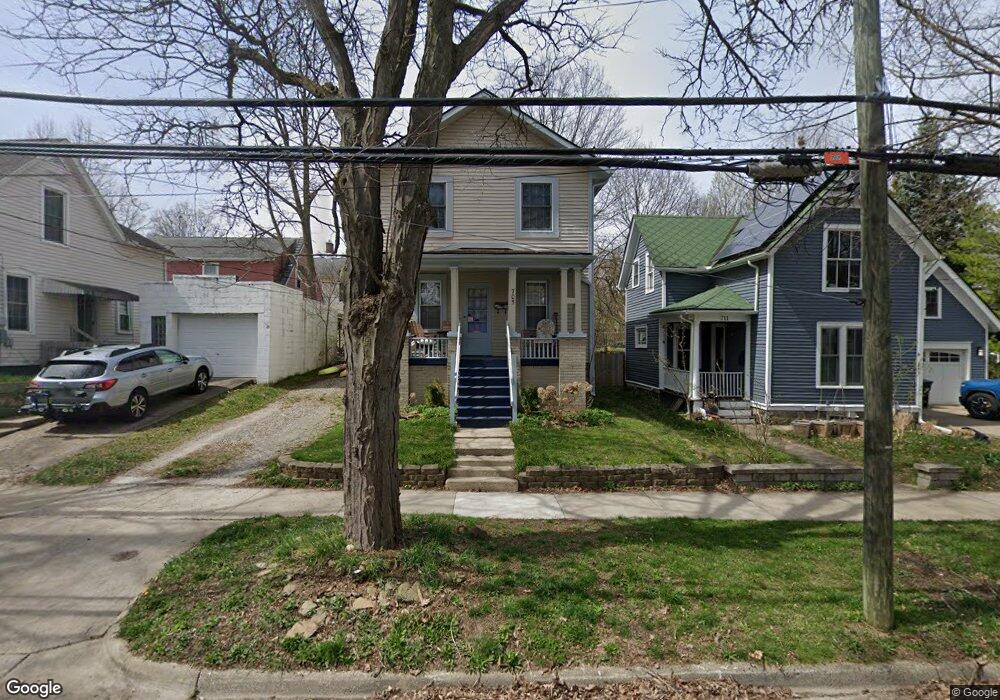
705 Spring St Ann Arbor, MI 48103
Water Hill NeighborhoodEstimated Value: $423,000 - $518,000
3
Beds
2
Baths
1,280
Sq Ft
$362/Sq Ft
Est. Value
About This Home
This home is located at 705 Spring St, Ann Arbor, MI 48103 and is currently estimated at $463,631, approximately $362 per square foot. 705 Spring St is a home located in Washtenaw County with nearby schools including Bach Elementary School, Slauson Middle School, and Skyline High School.
Ownership History
Date
Name
Owned For
Owner Type
Purchase Details
Closed on
Aug 6, 2020
Sold by
Swanso Leslie
Bought by
Swanso Leslie and Mcgauran Andrew
Current Estimated Value
Purchase Details
Closed on
Dec 23, 2014
Sold by
Hoff Philip R
Bought by
504 Hiscock Street Llc
Purchase Details
Closed on
Jun 29, 2009
Sold by
Shelby Paige P and Ouimet Paige P
Bought by
Swanson Leslie
Home Financials for this Owner
Home Financials are based on the most recent Mortgage that was taken out on this home.
Original Mortgage
$169,922
Interest Rate
4.94%
Mortgage Type
FHA
Purchase Details
Closed on
Aug 5, 2002
Sold by
Mitchell Christopher A
Bought by
Shelby Paige P
Create a Home Valuation Report for This Property
The Home Valuation Report is an in-depth analysis detailing your home's value as well as a comparison with similar homes in the area
Home Values in the Area
Average Home Value in this Area
Purchase History
| Date | Buyer | Sale Price | Title Company |
|---|---|---|---|
| Swanso Leslie | -- | None Available | |
| 504 Hiscock Street Llc | -- | -- | |
| Swanson Leslie | $182,000 | None Available | |
| Shelby Paige P | $250,000 | -- |
Source: Public Records
Mortgage History
| Date | Status | Borrower | Loan Amount |
|---|---|---|---|
| Previous Owner | Swanson Leslie | $169,922 | |
| Closed | Shelby Paige P | -- |
Source: Public Records
Tax History
| Year | Tax Paid | Tax Assessment Tax Assessment Total Assessment is a certain percentage of the fair market value that is determined by local assessors to be the total taxable value of land and additions on the property. | Land | Improvement |
|---|---|---|---|---|
| 2025 | $6,117 | $213,000 | $0 | $0 |
| 2024 | $5,966 | $190,500 | $0 | $0 |
| 2023 | $5,501 | $174,800 | $0 | $0 |
| 2022 | $5,994 | $170,700 | $0 | $0 |
| 2021 | $5,853 | $164,800 | $0 | $0 |
| 2020 | $5,735 | $164,700 | $0 | $0 |
| 2019 | $5,458 | $144,900 | $144,900 | $0 |
| 2018 | $5,381 | $152,500 | $0 | $0 |
| 2017 | $5,235 | $150,900 | $0 | $0 |
| 2016 | $5,050 | $104,673 | $0 | $0 |
| 2015 | $4,809 | $104,360 | $0 | $0 |
| 2014 | $4,809 | $101,100 | $0 | $0 |
| 2013 | -- | $101,100 | $0 | $0 |
Source: Public Records
Map
Nearby Homes
- 510 Hiscock St
- 215 W Summit St
- 408 Felch St
- 201 W Summit St
- 118 W Summit St
- 210 W Kingsley St
- 510 Miller Ave
- 207 Sunset Rd
- 209 Sunset Rd
- 410 N 1st St Unit 302
- 601 Cressfield Ln
- 121 W Kingsley St Unit 502
- 212 Miller Ave Unit 203
- 212 Miller Ave Unit 301
- 651 N 5th Ave
- 663 N 5th Ave Unit 8
- 1106 Paul St
- 303 Detroit St Unit 301
- 303 Detroit St Unit 104
- 303 Detroit St Unit 402
Your Personal Tour Guide
Ask me questions while you tour the home.