705 Walton Rd Salisbury, NC 28146
Estimated Value: $240,895 - $249,000
--
Bed
2
Baths
1,344
Sq Ft
$181/Sq Ft
Est. Value
About This Home
This home is located at 705 Walton Rd, Salisbury, NC 28146 and is currently estimated at $243,474, approximately $181 per square foot. 705 Walton Rd is a home located in Rowan County with nearby schools including E Hanford Dole Elementary School, North Rowan Middle School, and North Rowan High School.
Ownership History
Date
Name
Owned For
Owner Type
Purchase Details
Closed on
Nov 4, 2021
Sold by
Honeycutt Kenneth Daryl and Estate Of Gary Michael Honeycu
Bought by
Ritchie Dillon Michael
Current Estimated Value
Home Financials for this Owner
Home Financials are based on the most recent Mortgage that was taken out on this home.
Original Mortgage
$169,750
Outstanding Balance
$155,590
Interest Rate
3.01%
Mortgage Type
New Conventional
Estimated Equity
$87,884
Purchase Details
Closed on
Nov 1, 1981
Bought by
Honeycutt Garry Michael
Create a Home Valuation Report for This Property
The Home Valuation Report is an in-depth analysis detailing your home's value as well as a comparison with similar homes in the area
Home Values in the Area
Average Home Value in this Area
Purchase History
| Date | Buyer | Sale Price | Title Company |
|---|---|---|---|
| Ritchie Dillon Michael | $175,000 | None Available | |
| Honeycutt Garry Michael | $20,500 | -- |
Source: Public Records
Mortgage History
| Date | Status | Borrower | Loan Amount |
|---|---|---|---|
| Open | Ritchie Dillon Michael | $169,750 |
Source: Public Records
Tax History Compared to Growth
Tax History
| Year | Tax Paid | Tax Assessment Tax Assessment Total Assessment is a certain percentage of the fair market value that is determined by local assessors to be the total taxable value of land and additions on the property. | Land | Improvement |
|---|---|---|---|---|
| 2025 | $1,515 | $238,650 | $28,875 | $209,775 |
| 2024 | $1,515 | $238,650 | $28,875 | $209,775 |
| 2023 | $1,515 | $238,650 | $28,875 | $209,775 |
| 2022 | $863 | $121,134 | $23,625 | $97,509 |
| 2021 | $839 | $121,134 | $23,625 | $97,509 |
| 2020 | $839 | $121,134 | $23,625 | $97,509 |
| 2019 | $839 | $121,134 | $23,625 | $97,509 |
| 2018 | $742 | $108,030 | $23,625 | $84,405 |
| 2017 | $742 | $108,030 | $23,625 | $84,405 |
| 2016 | $746 | $108,030 | $23,625 | $84,405 |
| 2015 | $758 | $108,030 | $23,625 | $84,405 |
| 2014 | $759 | $110,320 | $22,050 | $88,270 |
Source: Public Records
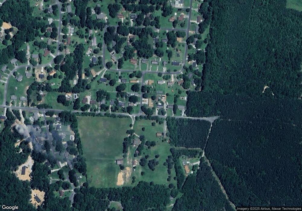
Map
Nearby Homes
- 0 Mahaley Rd
- 160 Clairmont Rd
- Montcrest Plan at Shay Crossing
- TA4000 Plan at Shay Crossing
- Winslow Plan at Shay Crossing
- TA1600 Plan at Shay Crossing
- TA1800 Plan at Shay Crossing
- TA3000 Plan at Shay Crossing
- TA2300 Plan at Shay Crossing
- Baxter Plan at Shay Crossing
- Elon Plan at Shay Crossing
- Lido Plan at Shay Crossing
- Knox Plan at Shay Crossing
- Alder Plan at Shay Crossing
- Kane Plan at Shay Crossing
- Abigale Plan at Shay Crossing
- Coronado Plan at Shay Crossing
- 0 Chapparal Dr
- TBD Wildwood Dr
- 204 Shay Crossing Rd
- 707 Walton Rd
- 613 Walton Rd
- 104 Eastbrook Cir
- 711 Walton Rd
- 108 Eastbrook Cir
- 512 Brook St
- 114 Eastbrook Cir
- 114 Eastbrook Cir Unit NULL
- 609 Walton Rd
- 713 Walton Rd
- 634 Walton Rd
- 206 Eastbrook Cir
- 605 Walton Rd
- 614 Walton Rd
- 107 Eastbrook Cir
- 109 Eastbrook Cir
- 101 Eastbrook Cir
- 601 Walton Rd
- 210 Eastbrook Cir
- 511 Eastbrook Cir