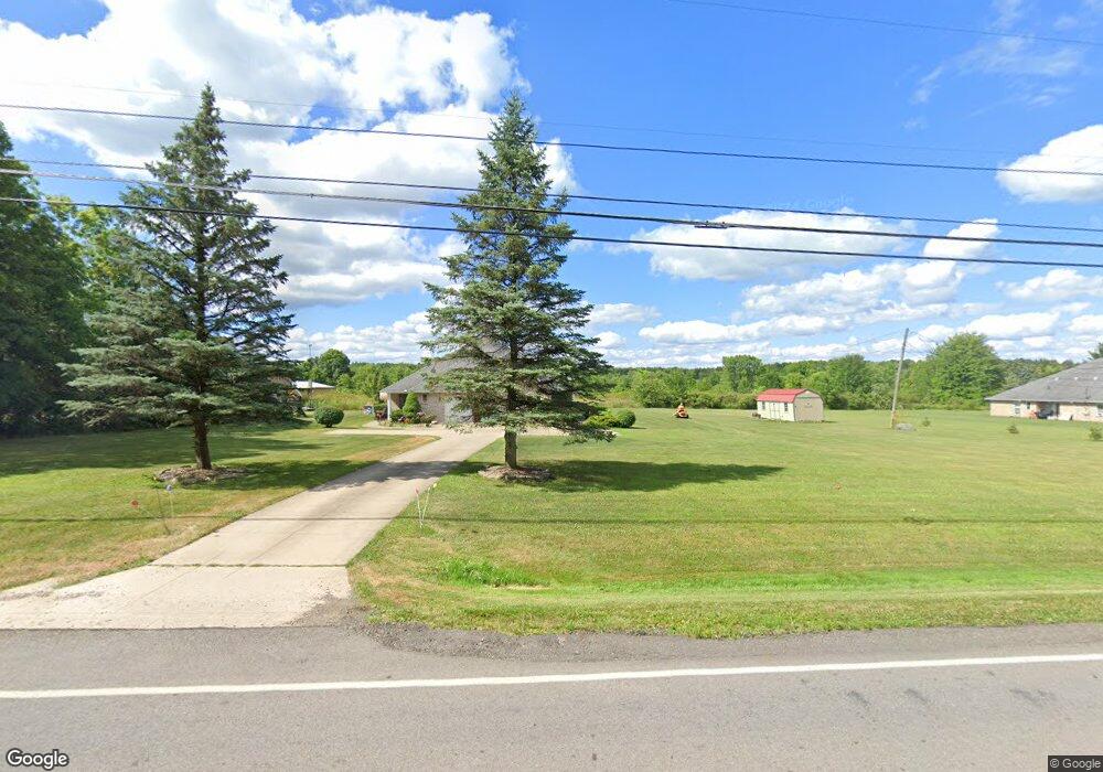
7053 Tallmadge Rd Rootstown, OH 44272
Estimated Value: $201,000 - $334,109
4
Beds
4
Baths
2,160
Sq Ft
$126/Sq Ft
Est. Value
About This Home
This home is located at 7053 Tallmadge Rd, Rootstown, OH 44272 and is currently estimated at $273,027, approximately $126 per square foot. 7053 Tallmadge Rd is a home located in Portage County with nearby schools including Southeast High School.
Ownership History
Date
Name
Owned For
Owner Type
Purchase Details
Closed on
Apr 6, 2020
Sold by
Baker Thomas W
Bought by
Baker Thomas W and Baker Lynn Susan
Current Estimated Value
Purchase Details
Closed on
Dec 16, 2010
Sold by
Baker Carol A
Bought by
Baker Thomas W
Purchase Details
Closed on
Dec 19, 2000
Sold by
Baker Lester E and Baker Carol A
Bought by
Baker Lester E and Baker Carol A
Purchase Details
Closed on
Jan 1, 1990
Bought by
Baker Lester E and Baker Carol A
Create a Home Valuation Report for This Property
The Home Valuation Report is an in-depth analysis detailing your home's value as well as a comparison with similar homes in the area
Home Values in the Area
Average Home Value in this Area
Purchase History
| Date | Buyer | Sale Price | Title Company |
|---|---|---|---|
| Baker Thomas W | -- | None Available | |
| Baker Thomas W | -- | Attorney | |
| Baker Lester E | -- | -- | |
| Baker Lester E | -- | -- |
Source: Public Records
Tax History Compared to Growth
Tax History
| Year | Tax Paid | Tax Assessment Tax Assessment Total Assessment is a certain percentage of the fair market value that is determined by local assessors to be the total taxable value of land and additions on the property. | Land | Improvement |
|---|---|---|---|---|
| 2024 | $3,835 | $104,510 | $13,720 | $90,790 |
| 2023 | $3,016 | $73,510 | $11,870 | $61,640 |
| 2022 | $3,128 | $73,510 | $11,870 | $61,640 |
| 2021 | $3,154 | $73,510 | $11,870 | $61,640 |
| 2020 | $2,835 | $63,460 | $10,780 | $52,680 |
| 2019 | $2,842 | $63,460 | $10,780 | $52,680 |
| 2018 | $2,947 | $59,090 | $10,470 | $48,620 |
| 2017 | $2,807 | $59,090 | $10,470 | $48,620 |
| 2016 | $2,797 | $59,090 | $10,470 | $48,620 |
| 2015 | $2,813 | $59,090 | $10,470 | $48,620 |
| 2014 | $2,745 | $56,320 | $10,470 | $45,850 |
| 2013 | $2,676 | $56,320 | $10,470 | $45,850 |
Source: Public Records
Map
Nearby Homes
- 3798 State Route 183
- 7392 Tallmadge Rd
- V/L St Andrews Way
- 6747 Giddings Rd
- 0 St Andrews Way Unit 5094250
- 7939 Giddings Rd
- 2880 State Route 14
- 3807 Industry Rd
- 0 John Thomas
- 5560 Wilkes Rd
- 5387 State Route 14
- 6605 State Route 5
- 2171 Alliance Rd
- 2547 Industry Rd
- 6720 Newton Falls Rd
- 0 New Milford Rd Unit 11489599
- 0 New Milford Rd Unit 5108183
- 3987 J A Vaughn Ave
- 4133 State Route 225
- 9408 Tallmadge Rd
- 7041 Tallmadge Rd
- 7077 Tallmadge Rd
- 7028 Tallmadge Rd
- 7095 Tallmadge Rd
- 0 Tallmadge Rd Unit 3702103
- 0 Tallmadge Rd Unit 3881190
- 7109 Tallmadge Rd
- 7020 Tallmadge Rd
- 7016 Tallmadge Rd
- 7123 Tallmadge Rd
- 7011 Tallmadge Rd
- 6982 Tallmadge Rd Unit 3
- 6962 Tallmadge Rd
- 7018 Tallmadge Rd
- 7098 Tallmadge Rd
- 7142 Tallmadge Rd
- 7165 Tallmadge Rd
- 6932 Tallmadge Rd
- 7197 Tallmadge Rd
- 6920 Tallmadge Rd