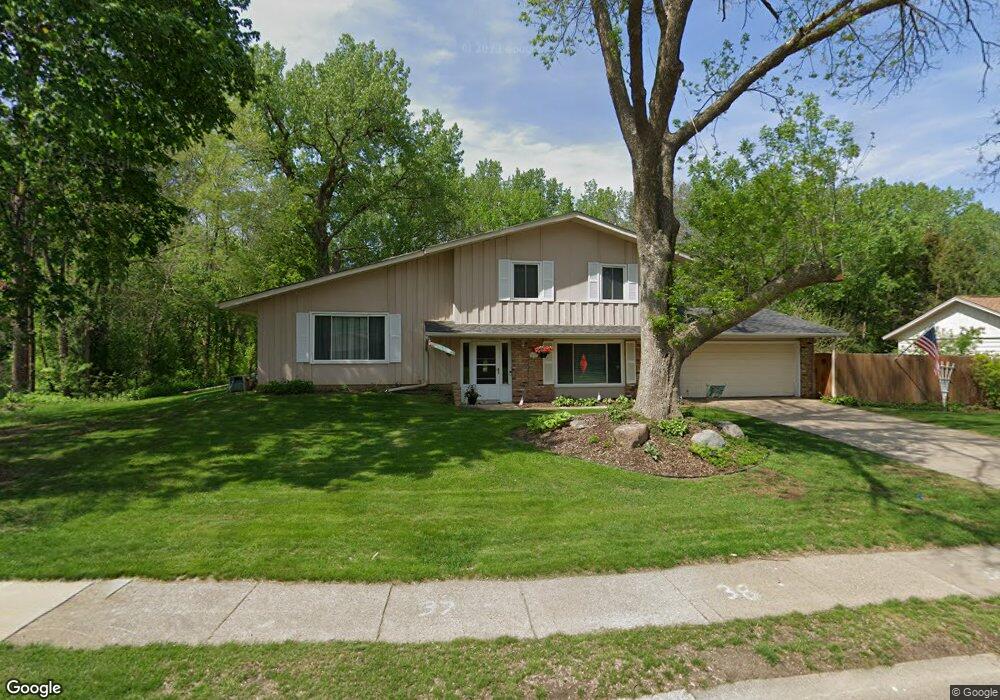
7055 142nd St W Saint Paul, MN 55124
Scott Highlands NeighborhoodEstimated Value: $411,000 - $498,000
4
Beds
3
Baths
1,754
Sq Ft
$252/Sq Ft
Est. Value
About This Home
This home is located at 7055 142nd St W, Saint Paul, MN 55124 and is currently estimated at $442,332, approximately $252 per square foot. 7055 142nd St W is a home located in Dakota County with nearby schools including Greenleaf Elementary School, Falcon Ridge Middle School, and Apple Valley Senior High School.
Ownership History
Date
Name
Owned For
Owner Type
Purchase Details
Closed on
Oct 28, 2020
Sold by
Confer John H and Revocable Living Trust Agmt Of
Bought by
Confer John H
Current Estimated Value
Home Financials for this Owner
Home Financials are based on the most recent Mortgage that was taken out on this home.
Original Mortgage
$227,500
Interest Rate
3%
Mortgage Type
New Conventional
Purchase Details
Closed on
Feb 12, 2013
Sold by
Confer John H and Confer Nedra S
Bought by
Confer John H and Confer Nedra S
Create a Home Valuation Report for This Property
The Home Valuation Report is an in-depth analysis detailing your home's value as well as a comparison with similar homes in the area
Home Values in the Area
Average Home Value in this Area
Purchase History
| Date | Buyer | Sale Price | Title Company |
|---|---|---|---|
| Confer John H | -- | All American Title Co Inc | |
| Confer John H | -- | None Available |
Source: Public Records
Mortgage History
| Date | Status | Borrower | Loan Amount |
|---|---|---|---|
| Closed | Confer John H | $227,500 |
Source: Public Records
Tax History Compared to Growth
Tax History
| Year | Tax Paid | Tax Assessment Tax Assessment Total Assessment is a certain percentage of the fair market value that is determined by local assessors to be the total taxable value of land and additions on the property. | Land | Improvement |
|---|---|---|---|---|
| 2024 | $4,402 | $380,000 | $90,500 | $289,500 |
| 2023 | $4,402 | $389,600 | $90,700 | $298,900 |
| 2022 | $3,586 | $371,700 | $90,400 | $281,300 |
| 2021 | $3,426 | $314,400 | $80,700 | $233,700 |
| 2020 | $3,486 | $295,300 | $76,800 | $218,500 |
| 2019 | $3,136 | $291,600 | $73,200 | $218,400 |
| 2018 | $2,924 | $275,900 | $69,700 | $206,200 |
| 2017 | $2,874 | $248,700 | $66,300 | $182,400 |
| 2016 | $2,760 | $233,500 | $63,200 | $170,300 |
| 2015 | $2,400 | $205,830 | $57,226 | $148,604 |
| 2014 | -- | $179,452 | $53,890 | $125,562 |
| 2013 | -- | $169,533 | $49,332 | $120,201 |
Source: Public Records
Map
Nearby Homes
- 14461 Freesia Way
- 7342 Upper 139th St W
- 14217 Footbridge Way
- 7291 Upper 136th St W
- 13954 Flagstaff Ct
- 13947 Fleetwood Ave
- 13720 Georgia Dr
- 14057 Flintwood Ct
- 13868 Glendale Ct
- 7662 142nd St W
- 14620 Garrett Ave Unit 310
- 14242 Glencove Trail
- 7577 138th St W
- 13715 Grafton Ct
- 13358 Foliage Ave
- 14080 Guthrie Ave
- 13660 Gurney Path
- 6790 132nd St W
- 13973 Falcon Ave
- 6567 133rd St W
- 7039 142nd St W
- 7069 142nd St W
- 7025 142nd St W
- 7048 142nd St W
- 7087 142nd St W
- 7036 142nd St W
- 7060 142nd St W
- 7024 142nd St W
- 7088 142nd St W
- 14182 Garland Ave
- 14194 Garland Ave
- 7016 Upper 143rd Ct W
- 14218 Garland Ave
- 14159 Foxtail Ct
- 14183 Foxtail Ct
- 14236 Garland Ave
- 7040 Upper 143rd Ct W
- 14095 Freeport Ct
- 14079 Freeport Ct
- 14258 Garland Ave