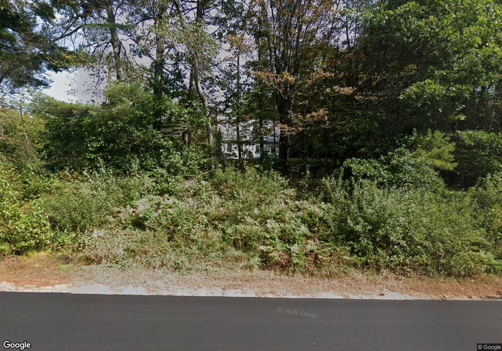
7066 Shaker Rd Loudon, NH 03307
Estimated Value: $251,000 - $507,000
3
Beds
2
Baths
1,900
Sq Ft
$228/Sq Ft
Est. Value
About This Home
This home is located at 7066 Shaker Rd, Loudon, NH 03307 and is currently estimated at $432,553, approximately $227 per square foot. 7066 Shaker Rd is a home located in Merrimack County with nearby schools including Loudon Elementary School, Merrimack Valley Middle School, and Merrimack Valley High School.
Ownership History
Date
Name
Owned For
Owner Type
Purchase Details
Closed on
Jun 24, 2021
Sold by
Dyment Clint J and Dyment Raymond Amanda
Bought by
Raymond Amanda G
Current Estimated Value
Home Financials for this Owner
Home Financials are based on the most recent Mortgage that was taken out on this home.
Original Mortgage
$171,900
Outstanding Balance
$151,942
Interest Rate
3.1%
Mortgage Type
New Conventional
Estimated Equity
$280,611
Purchase Details
Closed on
Jul 29, 2015
Sold by
Dyment Teresa
Bought by
Dyment Clint J and Renzzulla Amanda G
Home Financials for this Owner
Home Financials are based on the most recent Mortgage that was taken out on this home.
Original Mortgage
$95,000
Interest Rate
3.97%
Mortgage Type
New Conventional
Create a Home Valuation Report for This Property
The Home Valuation Report is an in-depth analysis detailing your home's value as well as a comparison with similar homes in the area
Home Values in the Area
Average Home Value in this Area
Purchase History
| Date | Buyer | Sale Price | Title Company |
|---|---|---|---|
| Raymond Amanda G | -- | None Available | |
| Dyment Clint J | $100,000 | -- |
Source: Public Records
Mortgage History
| Date | Status | Borrower | Loan Amount |
|---|---|---|---|
| Open | Raymond Amanda G | $171,900 | |
| Previous Owner | Dyment Clint J | $95,000 | |
| Previous Owner | Dyment Clint J | $75,000 |
Source: Public Records
Tax History Compared to Growth
Tax History
| Year | Tax Paid | Tax Assessment Tax Assessment Total Assessment is a certain percentage of the fair market value that is determined by local assessors to be the total taxable value of land and additions on the property. | Land | Improvement |
|---|---|---|---|---|
| 2024 | $6,756 | $290,600 | $103,200 | $187,400 |
| 2023 | $6,056 | $290,600 | $103,200 | $187,400 |
| 2022 | $5,391 | $290,600 | $103,200 | $187,400 |
| 2021 | $5,580 | $290,600 | $103,200 | $187,400 |
| 2020 | $5,258 | $228,700 | $95,200 | $133,500 |
| 2019 | $5,164 | $224,700 | $95,200 | $129,500 |
| 2018 | $4,957 | $224,700 | $95,200 | $129,500 |
| 2017 | $5,002 | $224,700 | $95,200 | $129,500 |
| 2016 | $4,714 | $224,700 | $95,200 | $129,500 |
| 2015 | $4,673 | $226,100 | $95,200 | $130,900 |
| 2014 | -- | $226,100 | $95,200 | $130,900 |
| 2013 | $4,683 | $226,100 | $95,200 | $130,900 |
Source: Public Records
Map
Nearby Homes
- 7006 Lake St
- 287 Clough Pond Rd
- 55 Whitehouse Rd
- 143 Shaker Rd
- 427 Shaker Rd
- 22 Abberton Rd
- 47 Clearview Dr
- 71 Goshen Dr
- 1005 New Hampshire 106
- 3 Pierce Ln
- 203 Old Shaker Rd
- 92 Piper Hill Rd
- 000 Baptist Rd Unit 1
- 39 Route 129
- 662 New Hampshire 129
- 306 Baptist Hill Rd
- 26 Welch Rd
- 15 Hothole Pond Rd
- 31 Ilona Ln
- 22 Shelburne Ln
- 7058 Shaker Rd
- 7052 Shaker Rd
- 7082 Shaker Rd
- 16 Shaker Brook Industrial Park
- 24 Shaker Brook Industrial Park
- 16 Shaker Brook Industrial Park Rd
- 7042 Shaker Rd
- 22 Shaker Brook Industrial Park Unit Building 2
- 31 Crab Apple Way
- 7091 Shaker Rd
- 7077 Shaker Rd
- 7036 Shaker Rd
- 32 Crab Apple Way
- 7032 Shaker Rd
- 13 Crab Apple Way
- 26 Shaker Brook Ind Park Unit 1
- 30 Crab Apple Way
- 634 Old Shaker Rd
- 24 Brook Cir
- 20 Crab Apple Way Unit 22