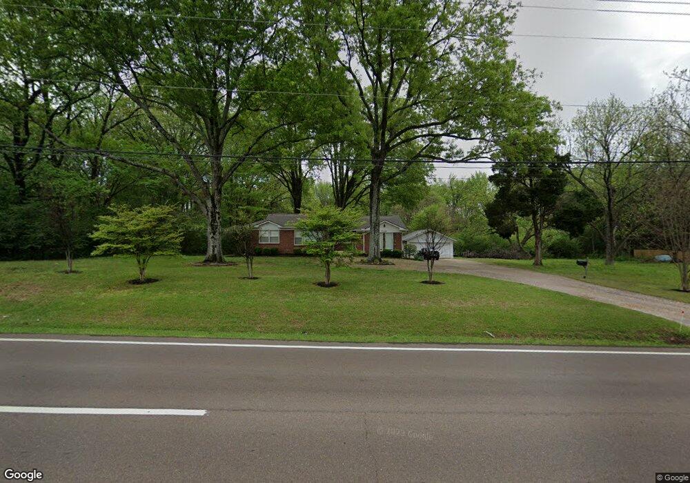
7066 Us Highway 70 Memphis, TN 38133
Estimated Value: $215,938 - $300,000
3
Beds
2
Baths
1,375
Sq Ft
$193/Sq Ft
Est. Value
About This Home
This home is located at 7066 Us Highway 70, Memphis, TN 38133 and is currently estimated at $265,235, approximately $192 per square foot. 7066 Us Highway 70 is a home located in Shelby County with nearby schools including Oak Elementary School, Appling Middle School, and Bartlett High School.
Ownership History
Date
Name
Owned For
Owner Type
Purchase Details
Closed on
Aug 31, 2012
Sold by
Liberty Lending Inc
Bought by
Norman Jimmy D and Norman Sarah P
Current Estimated Value
Purchase Details
Closed on
Oct 3, 2008
Sold by
Galloway United Methodist Church
Bought by
Lifelink Church Inc
Purchase Details
Closed on
Mar 25, 2004
Sold by
Kassner Stephen P and Kassner Mary A
Bought by
Liberty Lending Inc
Home Financials for this Owner
Home Financials are based on the most recent Mortgage that was taken out on this home.
Original Mortgage
$136,000
Interest Rate
5.54%
Mortgage Type
Unknown
Create a Home Valuation Report for This Property
The Home Valuation Report is an in-depth analysis detailing your home's value as well as a comparison with similar homes in the area
Home Values in the Area
Average Home Value in this Area
Purchase History
| Date | Buyer | Sale Price | Title Company |
|---|---|---|---|
| Norman Jimmy D | -- | None Available | |
| Lifelink Church Inc | $550,000 | None Available | |
| Liberty Lending Inc | $160,000 | Stewart Title Of Memphis Inc |
Source: Public Records
Mortgage History
| Date | Status | Borrower | Loan Amount |
|---|---|---|---|
| Previous Owner | Liberty Lending Inc | $136,000 |
Source: Public Records
Tax History Compared to Growth
Tax History
| Year | Tax Paid | Tax Assessment Tax Assessment Total Assessment is a certain percentage of the fair market value that is determined by local assessors to be the total taxable value of land and additions on the property. | Land | Improvement |
|---|---|---|---|---|
| 2025 | $1,146 | $40,725 | $14,150 | $26,575 |
| 2024 | $1,146 | $33,800 | $11,650 | $22,150 |
| 2023 | $1,731 | $33,800 | $11,650 | $22,150 |
| 2022 | $1,731 | $33,800 | $11,650 | $22,150 |
| 2021 | $1,758 | $33,800 | $11,650 | $22,150 |
| 2020 | $1,441 | $24,500 | $9,925 | $14,575 |
| 2019 | $1,441 | $24,500 | $9,925 | $14,575 |
| 2018 | $1,441 | $24,500 | $9,925 | $14,575 |
| 2017 | $1,007 | $24,500 | $9,925 | $14,575 |
| 2016 | $826 | $18,900 | $0 | $0 |
| 2014 | $826 | $23,525 | $0 | $0 |
Source: Public Records
Map
Nearby Homes
- 6894 Hedgewood Ln
- 00 Yale Rd
- 3334 Oak Rd
- 7215 Grapevine Cove
- 6901 Johnstown Ln
- 6884 Johnstown Ln
- 6918 Talcott Ln
- 6888 Johnstown Ln
- 6903 Talcott Ln
- 6893 Talcott Ln
- 7136 Devine St
- 6897 Johnstown Ln
- Webster Plan at Union Depot
- Asher Plan at Union Depot
- Glenmore Plan at Union Depot
- Manning Plan at Union Depot
- Lewis Plan at Union Depot
- Emerson Plan at Union Depot
- Chapman Plan at Union Depot
- Hudson Plan at Union Depot
- 7080 Us Highway 70
- 7080 La Casa Dr
- 7086 La Casa Dr
- 7085 La Casa Dr
- 7094 Us Highway 70
- 7094 La Casa Dr
- 7051 U S 70
- 7051 Us Highway 70
- 7110 Us Highway 70
- 7100 La Casa Dr
- 7105 Shady Oaks Dr
- 7091 La Casa Dr
- 3121 Via Lopez Dr
- 3127 Via Lopez Dr
- 3133 Via Lopez Dr
- 3115 Via Lopez Dr
- 7110 La Casa Dr
- 3153 Via Lopez Dr
- 7115 Shady Oaks Dr
- 3139 Via Lopez Dr