Estimated Value: $242,000 - $279,000
1
Bed
2
Baths
1,632
Sq Ft
$164/Sq Ft
Est. Value
About This Home
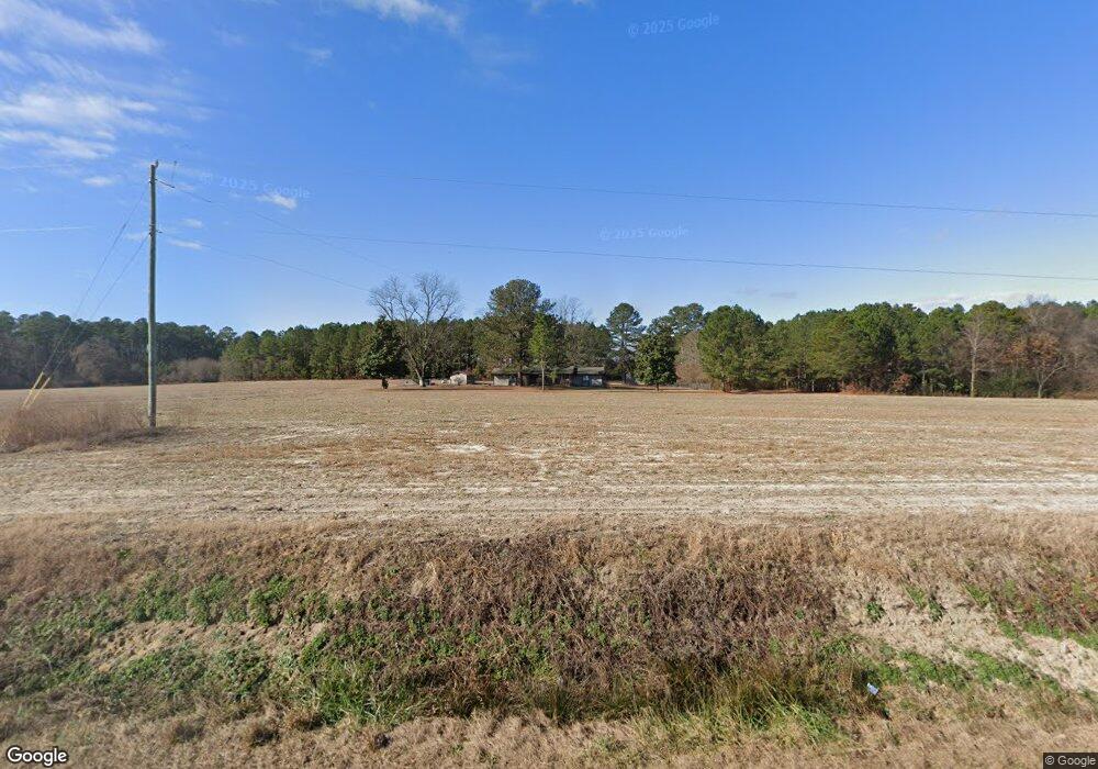
This home is located at 7067 Crushed Stone Rd, Sims, NC 27880 and is currently estimated at $268,342, approximately $164 per square foot. 7067 Crushed Stone Rd is a home located in Wilson County with nearby schools including James Hunt High School, John W. Jones Elementary School, and Forest Hills Middle School.
Ownership History
Date
Name
Owned For
Owner Type
Purchase Details
Closed on
Apr 7, 2008
Sold by
Thompson Miriamne W and Thompson Harry N
Bought by
Cook Ralph J and Cook Tammy S
Current Estimated Value
Home Financials for this Owner
Home Financials are based on the most recent Mortgage that was taken out on this home.
Original Mortgage
$98,800
Outstanding Balance
$62,160
Interest Rate
5.84%
Mortgage Type
New Conventional
Estimated Equity
$206,182
Create a Home Valuation Report for This Property
The Home Valuation Report is an in-depth analysis detailing your home's value as well as a comparison with similar homes in the area
Home Values in the Area
Average Home Value in this Area
Purchase History
| Date | Buyer | Sale Price | Title Company |
|---|---|---|---|
| Cook Ralph J | $123,500 | None Available |
Source: Public Records
Mortgage History
| Date | Status | Borrower | Loan Amount |
|---|---|---|---|
| Open | Cook Ralph J | $98,800 |
Source: Public Records
Tax History Compared to Growth
Tax History
| Year | Tax Paid | Tax Assessment Tax Assessment Total Assessment is a certain percentage of the fair market value that is determined by local assessors to be the total taxable value of land and additions on the property. | Land | Improvement |
|---|---|---|---|---|
| 2025 | $1,381 | $197,512 | $30,002 | $167,510 |
| 2024 | $1,381 | $197,512 | $30,002 | $167,510 |
| 2023 | $1,015 | $115,955 | $15,001 | $100,954 |
| 2022 | $1,015 | $115,955 | $15,001 | $100,954 |
| 2021 | $1,005 | $115,955 | $15,001 | $100,954 |
| 2020 | $1,005 | $115,955 | $15,001 | $100,954 |
| 2019 | $600 | $115,955 | $15,001 | $100,954 |
| 2018 | $1,005 | $115,955 | $15,001 | $100,954 |
| 2017 | $1,005 | $115,955 | $15,001 | $100,954 |
| 2016 | $972 | $115,955 | $15,001 | $100,954 |
| 2014 | $980 | $117,743 | $17,472 | $100,271 |
Source: Public Records
Map
Nearby Homes
- 10755 Beard Way
- 10811 Beard Way
- 4105 Edsel Dr
- 10764 Beard Way
- 10777 Beard Way
- 6820 Dunridge Ln
- 10780 Beard Way
- Tract Flat Rock Rd
- 6717 Hardwick Ln
- 6762 Hardwick Ln
- 6748 Hardwick Ln
- 6705 Hardwick Ln
- 6700 Hardwick Ln
- Booth Plan at Beaver Dam Crossing
- Mills Plan at Beaver Dam Crossing
- Galen Plan at Beaver Dam Crossing
- HAYDEN Plan at Beaver Dam Crossing
- 3639 Lori Ann Rd
- 6702 Hardwick Ln
- 10840 Beard Way
- 7007 Crushed Stone Rd
- 7018 Us Highway 264a W
- 7108 Crushed Stone Rd
- 6972 Bruce Rd
- 3871 Bullstone Rd
- 6968 Bruce Rd
- 6964 Bruce Rd
- 6951 Bruce Rd
- 6951 Bruce Rd Unit B
- 6941 Bruce Rd
- 7119 Us Highway 264a W
- 7129 Highway Unit Us 264 Alt
- 6937 Bruce Rd
- 4111 Bullstone Rd
- 4210 Ellis Ln
- 4151 Bullstone Rd
- 7129 Us Highway 264a W
- 7129 U S 264
- 4161 Bullstone Rd
- 7129 Us Highway 264a W