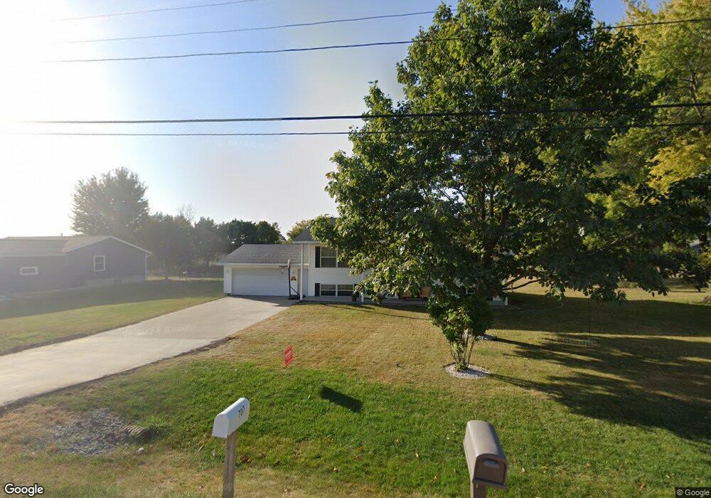
707 Grant St Walker, IA 52352
Estimated Value: $192,406 - $238,000
3
Beds
2
Baths
1,176
Sq Ft
$183/Sq Ft
Est. Value
About This Home
This home is located at 707 Grant St, Walker, IA 52352 and is currently estimated at $215,102, approximately $182 per square foot. 707 Grant St is a home located in Linn County with nearby schools including North Linn Elementary School, North-Linn Middle School, and North-Linn Senior High School.
Ownership History
Date
Name
Owned For
Owner Type
Purchase Details
Closed on
Jul 27, 1998
Sold by
Myron Lown Of Myron Lown Inc
Bought by
Mudd Robert M and Mudd Teresa L
Current Estimated Value
Home Financials for this Owner
Home Financials are based on the most recent Mortgage that was taken out on this home.
Original Mortgage
$80,000
Outstanding Balance
$16,849
Interest Rate
7.03%
Mortgage Type
Purchase Money Mortgage
Estimated Equity
$198,253
Create a Home Valuation Report for This Property
The Home Valuation Report is an in-depth analysis detailing your home's value as well as a comparison with similar homes in the area
Purchase History
| Date | Buyer | Sale Price | Title Company |
|---|---|---|---|
| Mudd Robert M | $106,500 | -- |
Source: Public Records
Mortgage History
| Date | Status | Borrower | Loan Amount |
|---|---|---|---|
| Open | Mudd Robert M | $80,000 |
Source: Public Records
Tax History
| Year | Tax Paid | Tax Assessment Tax Assessment Total Assessment is a certain percentage of the fair market value that is determined by local assessors to be the total taxable value of land and additions on the property. | Land | Improvement |
|---|---|---|---|---|
| 2025 | $3,284 | $192,700 | $31,800 | $160,900 |
| 2024 | $2,960 | $211,900 | $31,800 | $180,100 |
| 2023 | $2,960 | $211,900 | $31,800 | $180,100 |
| 2022 | $2,890 | $167,300 | $31,800 | $135,500 |
| 2021 | $2,628 | $167,300 | $31,800 | $135,500 |
| 2020 | $2,628 | $148,500 | $31,800 | $116,700 |
| 2019 | $2,384 | $131,600 | $25,500 | $106,100 |
Source: Public Records
Map
Nearby Homes
- 302 Maple Ln
- 910 Karens Ct
- 51st St Ln
- 316 Ely St
- 400 Wilson St
- 5905 Fairchild Rd
- 3281 Quasqueton Ave
- 5057 Schwiebert Dr
- 0 51st St Ln Unit 2600145
- 4145 Grubbs Creek Rd
- 0 54th Street Trail
- 5358 Hutton Dr
- 104 Birch St
- 103 North St
- 300 N Union Ave
- 0 31st Ave
- 4505 Urbana Rd Unit 41.2 ac.
- 4505 Urbana Rd Unit 76.2 ac.
- 207 W Main St
- 809 Iowa St
Your Personal Tour Guide
Ask me questions while you tour the home.