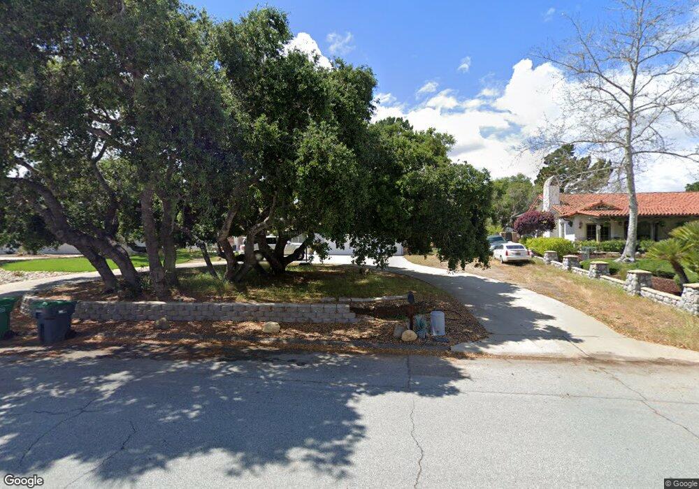
707 Saint Andrews Way Lompoc, CA 93436
Estimated Value: $861,308 - $1,037,000
4
Beds
3
Baths
2,301
Sq Ft
$398/Sq Ft
Est. Value
About This Home
This home is located at 707 Saint Andrews Way, Lompoc, CA 93436 and is currently estimated at $916,577, approximately $398 per square foot. 707 Saint Andrews Way is a home located in Santa Barbara County with nearby schools including Buena Vista Elementary School and Cabrillo High School.
Ownership History
Date
Name
Owned For
Owner Type
Purchase Details
Closed on
Jul 29, 2024
Sold by
Shekell Virginia P
Bought by
Virginia P Shekell Trust and Shekell
Current Estimated Value
Create a Home Valuation Report for This Property
The Home Valuation Report is an in-depth analysis detailing your home's value as well as a comparison with similar homes in the area
Home Values in the Area
Average Home Value in this Area
Purchase History
| Date | Buyer | Sale Price | Title Company |
|---|---|---|---|
| Virginia P Shekell Trust | -- | None Listed On Document |
Source: Public Records
Tax History
| Year | Tax Paid | Tax Assessment Tax Assessment Total Assessment is a certain percentage of the fair market value that is determined by local assessors to be the total taxable value of land and additions on the property. | Land | Improvement |
|---|---|---|---|---|
| 2025 | $4,262 | $361,150 | $136,643 | $224,507 |
| 2023 | $4,262 | $347,128 | $131,338 | $215,790 |
| 2022 | $4,197 | $340,322 | $128,763 | $211,559 |
| 2021 | $4,242 | $333,650 | $126,239 | $207,411 |
| 2020 | $4,200 | $330,230 | $124,945 | $205,285 |
| 2019 | $4,138 | $323,756 | $122,496 | $201,260 |
| 2018 | $4,080 | $317,409 | $120,095 | $197,314 |
| 2017 | $3,923 | $311,187 | $117,741 | $193,446 |
| 2016 | $3,586 | $305,086 | $115,433 | $189,653 |
| 2014 | $3,510 | $294,619 | $111,473 | $183,146 |
Source: Public Records
Map
Nearby Homes
- 649 Burning Tree Way
- 0 Oak Hill Dr Unit 24-783
- 372 Oak Hill Dr
- 240 Oak Hill Dr
- 73 Stanford Cir
- 6 Stanford Cir
- 250 Saint Andrews Way
- 113 Gemini Ave
- 232 Vega Ave
- 3939 Mesa Circle Dr
- 3922 Mesa Circle Dr
- 3916 Mesa Circle Dr Unit A
- 1445 Calle Marana
- 3660 Rucker Rd
- 3725 Jupiter Ave
- 3578 Via Lato
- 758 Voyager Rd
- 972 Pellham Dr
- 1141 Pellham Dr
- 832 Onstott Rd
- 709 Saint Andrews Way Unit 2
- 705 Saint Andrews Way
- 142 La Costa Ln
- 140 La Costa Ln
- 701 Saint Andrews Way
- 481 Oak Hill Dr
- 480 Firestone Way
- 711 Saint Andrews Way Unit 2
- 141 La Costa Ln
- 456 Firestone Way
- 706 Saint Andrews Way
- 700 Saint Andrews Way
- 710 Saint Andrews Way
- 471 Oak Hill Dr
- 136 La Costa Ln
- 442 Firestone Way
- 688 Saint Andrews Way
- 712 Saint Andrews Way Unit 2
- 137 La Costa Ln
- 490 Oak Hill Dr
Your Personal Tour Guide
Ask me questions while you tour the home.