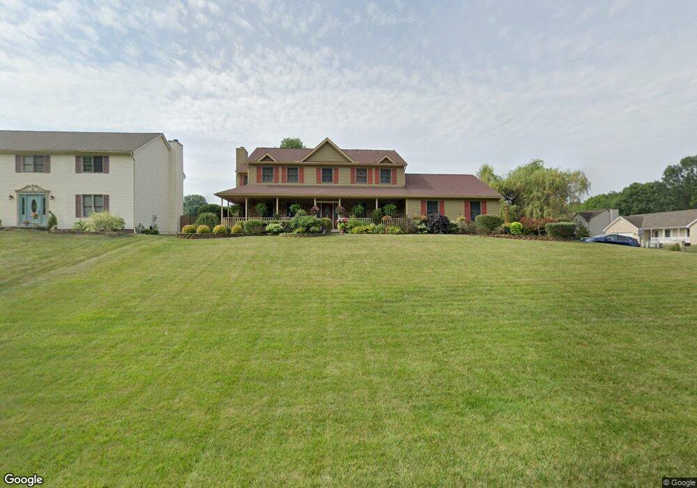
7071 New Rd Youngstown, OH 44515
Austintown NeighborhoodEstimated Value: $394,000 - $472,000
4
Beds
3
Baths
2,653
Sq Ft
$160/Sq Ft
Est. Value
About This Home
This home is located at 7071 New Rd, Youngstown, OH 44515 and is currently estimated at $425,278, approximately $160 per square foot. 7071 New Rd is a home located in Mahoning County with nearby schools including Austintown Elementary School, Austintown Intermediate School, and Austintown Middle School.
Ownership History
Date
Name
Owned For
Owner Type
Purchase Details
Closed on
Dec 5, 2002
Sold by
Cornman Mark A and Cornman Mary A
Bought by
King Gerald D and King Sharon A
Current Estimated Value
Home Financials for this Owner
Home Financials are based on the most recent Mortgage that was taken out on this home.
Original Mortgage
$180,000
Outstanding Balance
$86,978
Interest Rate
8%
Estimated Equity
$338,300
Purchase Details
Closed on
May 15, 1996
Sold by
Hutchinson Jack E
Bought by
Cornman Mark A and Cornman Maryann
Home Financials for this Owner
Home Financials are based on the most recent Mortgage that was taken out on this home.
Original Mortgage
$133,600
Interest Rate
7.86%
Mortgage Type
New Conventional
Purchase Details
Closed on
Apr 26, 1994
Bought by
Hutchinson Jack E and Hutchinson Mary
Create a Home Valuation Report for This Property
The Home Valuation Report is an in-depth analysis detailing your home's value as well as a comparison with similar homes in the area
Home Values in the Area
Average Home Value in this Area
Purchase History
| Date | Buyer | Sale Price | Title Company |
|---|---|---|---|
| King Gerald D | $200,000 | -- | |
| Cornman Mark A | $31,000 | -- | |
| Hutchinson Jack E | -- | -- |
Source: Public Records
Mortgage History
| Date | Status | Borrower | Loan Amount |
|---|---|---|---|
| Open | King Gerald D | $180,000 | |
| Previous Owner | Cornman Mark A | $133,600 |
Source: Public Records
Tax History Compared to Growth
Tax History
| Year | Tax Paid | Tax Assessment Tax Assessment Total Assessment is a certain percentage of the fair market value that is determined by local assessors to be the total taxable value of land and additions on the property. | Land | Improvement |
|---|---|---|---|---|
| 2024 | $5,240 | $114,490 | $14,950 | $99,540 |
| 2023 | $5,158 | $114,490 | $14,950 | $99,540 |
| 2022 | $4,582 | $81,530 | $14,950 | $66,580 |
| 2021 | $4,584 | $81,530 | $14,950 | $66,580 |
| 2020 | $4,603 | $81,530 | $14,950 | $66,580 |
| 2019 | $4,809 | $77,650 | $14,240 | $63,410 |
| 2018 | $4,627 | $77,650 | $14,240 | $63,410 |
| 2017 | $4,624 | $77,650 | $14,240 | $63,410 |
| 2016 | $4,464 | $74,200 | $12,700 | $61,500 |
| 2015 | $4,328 | $74,200 | $12,700 | $61,500 |
| 2014 | $4,348 | $74,200 | $12,700 | $61,500 |
| 2013 | $4,301 | $74,200 | $12,700 | $61,500 |
Source: Public Records
Map
Nearby Homes
- 0 Fairview Rd
- 6581 Country Ridge Ave
- 6488 S Timberidge Dr
- 3013 Whispering Pines Dr
- 6370 Fairview Rd
- 7017 Kirk Rd
- 7054 Berry Blossom Dr
- 244 Wilcox Rd
- 9112 New Rd
- 3189 Meanderwood Dr
- 138 Wilcox Rd Unit 138
- 124 Wilcox Rd Unit 124
- 557 Wilcox Rd Unit A
- 69 N Turner Rd
- 370 Wilcox Rd
- 519 Wilcox Rd Unit A
- 3202 S Lipkey Rd
- 6685 Elwood St
- 701 Oberlin Place
- 5678 Cider Mill Crossing
- 7061 New Rd
- 1871 Mary Place
- 1850 Mary Place
- 7051 New Rd
- 1860 Mary Place
- 1881 Mary Place
- 1870 Mary Place
- 7041 New Rd
- 7040 Ruby Courts
- 1880 Mary Place
- 1891 Mary Place
- 7031 New Rd
- 7119 Ruby Courts
- 7030 Ruby Courts
- 7109 Ruby Courts
- 7021 New Rd
- 7020 Ruby Courts
- 7051 Ruby Courts
- 7061 Ruby Courts
- 7041 Ruby Courts