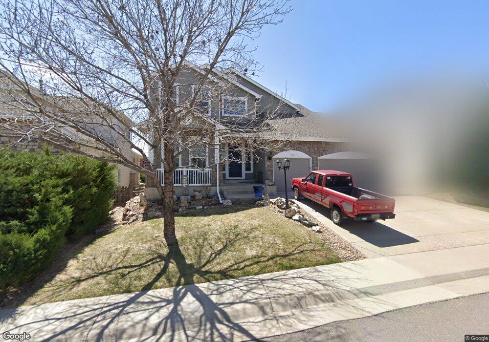
7071 S Garrison St Littleton, CO 80128
Stony Creek NeighborhoodEstimated Value: $841,431 - $970,000
4
Beds
5
Baths
2,902
Sq Ft
$319/Sq Ft
Est. Value
About This Home
This home is located at 7071 S Garrison St, Littleton, CO 80128 and is currently estimated at $925,608, approximately $318 per square foot. 7071 S Garrison St is a home located in Jefferson County with nearby schools including Stony Creek Elementary School, Deer Creek Middle School, and Chatfield High School.
Ownership History
Date
Name
Owned For
Owner Type
Purchase Details
Closed on
Sep 12, 2003
Sold by
Genesis Homes At Hillside Llc
Bought by
Torkelson Randall N and Torkelson Cathleen J
Current Estimated Value
Home Financials for this Owner
Home Financials are based on the most recent Mortgage that was taken out on this home.
Original Mortgage
$200,000
Interest Rate
6.08%
Mortgage Type
Unknown
Create a Home Valuation Report for This Property
The Home Valuation Report is an in-depth analysis detailing your home's value as well as a comparison with similar homes in the area
Home Values in the Area
Average Home Value in this Area
Purchase History
| Date | Buyer | Sale Price | Title Company |
|---|---|---|---|
| Torkelson Randall N | $434,150 | First American Heritage Titl |
Source: Public Records
Mortgage History
| Date | Status | Borrower | Loan Amount |
|---|---|---|---|
| Closed | Torkelson Randall N | $200,000 |
Source: Public Records
Tax History Compared to Growth
Tax History
| Year | Tax Paid | Tax Assessment Tax Assessment Total Assessment is a certain percentage of the fair market value that is determined by local assessors to be the total taxable value of land and additions on the property. | Land | Improvement |
|---|---|---|---|---|
| 2024 | $4,777 | $48,773 | $11,970 | $36,803 |
| 2023 | $4,777 | $48,773 | $11,970 | $36,803 |
| 2022 | $4,664 | $46,754 | $10,491 | $36,263 |
| 2021 | $4,724 | $48,100 | $10,793 | $37,307 |
| 2020 | $4,371 | $44,612 | $11,532 | $33,080 |
| 2019 | $4,317 | $44,612 | $11,532 | $33,080 |
| 2018 | $3,749 | $37,413 | $10,087 | $27,326 |
| 2017 | $3,422 | $37,413 | $10,087 | $27,326 |
| 2016 | $3,574 | $37,714 | $8,851 | $28,863 |
| 2015 | $3,206 | $37,714 | $8,851 | $28,863 |
| 2014 | $3,206 | $31,727 | $8,245 | $23,482 |
Source: Public Records
Map
Nearby Homes
- 9448 W Plymouth Ave
- 9100 W Portland Ave
- 9088 W Plymouth Ave
- 9423 W Ontario Dr
- 7296 S Flower St
- 9615 W Hinsdale Place
- 8785 W Quarto Cir
- 9705 W Hinsdale Place
- 9646 W Hinsdale Place
- 6765 S Independence St
- 6763 S Independence St
- 9404 W Hinsdale Place
- 6753 S Independence St
- 6751 S Independence St
- 6766 S Holland Way
- 9364 W Coal Mine Ave
- 7126 S Kline St
- 6800 S Independence St
- 6784 S Independence St
- 9115 W Hinsdale Place
- 7067 S Garrison St
- 7075 S Garrison St
- 7079 S Garrison St
- 7063 S Garrison St
- 7068 S Garrison St
- 7072 S Garrison St
- 7064 S Garrison St
- 7059 S Garrison St
- 7083 S Garrison St
- 7076 S Garrison St
- 7060 S Garrison St
- 7080 S Garrison St
- 7087 S Garrison St
- 7018 S Garrison St
- 7014 S Garrison St
- 7055 S Garrison St
- 7022 S Garrison St
- 7084 S Garrison St
- 7010 S Garrison St
- 7026 S Garrison St