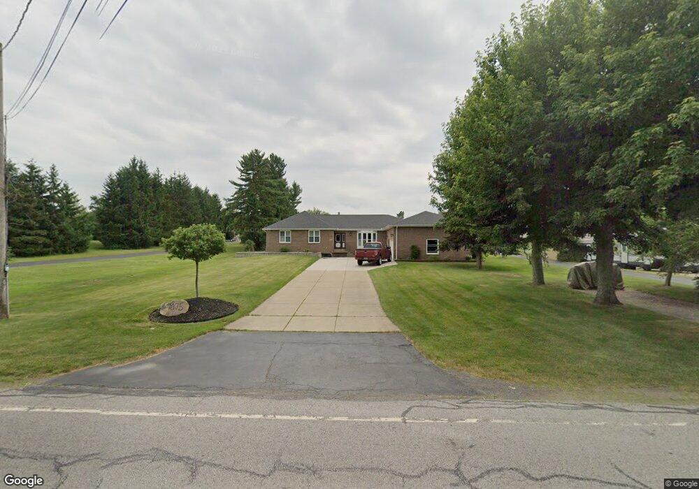
7075 Michael Rd Orchard Park, NY 14127
Estimated Value: $481,000 - $635,000
4
Beds
3
Baths
2,642
Sq Ft
$213/Sq Ft
Est. Value
About This Home
This home is located at 7075 Michael Rd, Orchard Park, NY 14127 and is currently estimated at $562,730, approximately $212 per square foot. 7075 Michael Rd is a home located in Erie County with nearby schools including Windom Elementary School, Orchard Park Middle School, and Orchard Park High School.
Ownership History
Date
Name
Owned For
Owner Type
Purchase Details
Closed on
Mar 27, 2012
Sold by
Manocchio Antonio
Bought by
Manocchio Giuseppe and Manocchio Heather D
Current Estimated Value
Home Financials for this Owner
Home Financials are based on the most recent Mortgage that was taken out on this home.
Original Mortgage
$80,000
Outstanding Balance
$10,800
Interest Rate
3.88%
Mortgage Type
New Conventional
Estimated Equity
$551,930
Create a Home Valuation Report for This Property
The Home Valuation Report is an in-depth analysis detailing your home's value as well as a comparison with similar homes in the area
Home Values in the Area
Average Home Value in this Area
Purchase History
| Date | Buyer | Sale Price | Title Company |
|---|---|---|---|
| Manocchio Giuseppe | $80,000 | None Available |
Source: Public Records
Mortgage History
| Date | Status | Borrower | Loan Amount |
|---|---|---|---|
| Open | Manocchio Giuseppe | $80,000 |
Source: Public Records
Tax History Compared to Growth
Tax History
| Year | Tax Paid | Tax Assessment Tax Assessment Total Assessment is a certain percentage of the fair market value that is determined by local assessors to be the total taxable value of land and additions on the property. | Land | Improvement |
|---|---|---|---|---|
| 2024 | $10,290 | $155,900 | $12,300 | $143,600 |
| 2023 | $10,050 | $155,900 | $12,300 | $143,600 |
| 2022 | $9,913 | $155,900 | $12,300 | $143,600 |
| 2021 | $10,006 | $155,900 | $12,300 | $143,600 |
| 2020 | $9,129 | $155,900 | $12,300 | $143,600 |
| 2019 | $8,170 | $155,900 | $12,300 | $143,600 |
| 2018 | $8,733 | $155,900 | $12,300 | $143,600 |
| 2017 | $3,443 | $155,900 | $12,300 | $143,600 |
| 2016 | $8,230 | $155,900 | $12,300 | $143,600 |
| 2015 | -- | $155,900 | $12,300 | $143,600 |
| 2014 | -- | $155,900 | $12,300 | $143,600 |
Source: Public Records
Map
Nearby Homes
- 2931 Southwestern Blvd
- 3105 Baker Rd
- 30 Hastings Dr
- 3217 Baker Rd
- 73 Southwick Dr
- 78 Shawnee Place
- 914 Reserve Rd
- 97 Willowcrest Dr
- 11 Bradwood Rd
- 129 Willowcrest Dr
- 0 V L Angle Rd Unit B1624839
- 80 Greenspring Ct
- Heritage II Plan at Greenspring Reserve
- Patio C Plan at Greenspring Reserve
- Advantage IX Plan at Greenspring Reserve
- Discovery IX Plan at Greenspring Reserve
- Advantage X Plan at Greenspring Reserve
- Discovery XIV Plan at Greenspring Reserve
- Patio B Plan at Greenspring Reserve
- Discovery XI Plan at Greenspring Reserve
- 7057 Michael Rd
- 7089 Michael Rd Unit 70
- 7067 Michael Rd
- 7081 Michael Rd
- 7082 Michael Rd Unit 70
- 7060 Michael Rd
- 7050 Michael Rd
- 7092 Michael Rd Unit 70
- 7033 Michael Rd
- 7115 Michael Rd
- 7036 Michael Rd
- 7106 Michael Rd
- 7024 Michael Rd
- 7118 Michael Rd
- 7126 Michael Rd
- 7135 Michael Rd
- 7135 Michael Rd Unit 2
- 7130 Michael Rd
- 7005 Michael Rd
- 7008 Michael Rd