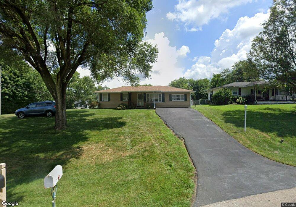
7078 Howard Rd Franklin, OH 45005
Estimated Value: $170,343 - $216,000
3
Beds
1
Bath
1,176
Sq Ft
$168/Sq Ft
Est. Value
About This Home
This home is located at 7078 Howard Rd, Franklin, OH 45005 and is currently estimated at $197,336, approximately $167 per square foot. 7078 Howard Rd is a home located in Warren County with nearby schools including Franklin High School.
Ownership History
Date
Name
Owned For
Owner Type
Purchase Details
Closed on
Sep 16, 2010
Sold by
Evilsizer Charles D
Bought by
White Donald
Current Estimated Value
Home Financials for this Owner
Home Financials are based on the most recent Mortgage that was taken out on this home.
Original Mortgage
$73,509
Outstanding Balance
$48,541
Interest Rate
4.75%
Mortgage Type
FHA
Estimated Equity
$148,795
Purchase Details
Closed on
Jan 28, 2010
Sold by
Balzer Cynthia
Bought by
Evilsizer Charles D
Purchase Details
Closed on
Dec 8, 2008
Sold by
Evilsizer Charles D
Bought by
Balzer Cynthia
Create a Home Valuation Report for This Property
The Home Valuation Report is an in-depth analysis detailing your home's value as well as a comparison with similar homes in the area
Home Values in the Area
Average Home Value in this Area
Purchase History
| Date | Buyer | Sale Price | Title Company |
|---|---|---|---|
| White Donald | $74,500 | Title Wave Agency | |
| Evilsizer Charles D | -- | Attorney | |
| Balzer Cynthia | -- | Attorney |
Source: Public Records
Mortgage History
| Date | Status | Borrower | Loan Amount |
|---|---|---|---|
| Open | White Donald | $73,509 |
Source: Public Records
Tax History
| Year | Tax Paid | Tax Assessment Tax Assessment Total Assessment is a certain percentage of the fair market value that is determined by local assessors to be the total taxable value of land and additions on the property. | Land | Improvement |
|---|---|---|---|---|
| 2025 | $1,182 | $35,410 | $9,600 | $25,810 |
| 2024 | $1,182 | $35,410 | $9,600 | $25,810 |
| 2023 | $952 | $27,177 | $6,027 | $21,150 |
| 2022 | $923 | $27,178 | $6,027 | $21,151 |
| 2021 | $874 | $27,178 | $6,027 | $21,151 |
| 2020 | $826 | $24,052 | $5,334 | $18,718 |
| 2019 | $751 | $24,052 | $5,334 | $18,718 |
| 2018 | $708 | $24,052 | $5,334 | $18,718 |
| 2017 | $697 | $21,599 | $4,865 | $16,734 |
| 2016 | $711 | $21,599 | $4,865 | $16,734 |
| 2015 | $713 | $21,599 | $4,865 | $16,734 |
| 2014 | $731 | $21,600 | $4,870 | $16,730 |
| 2013 | $981 | $23,680 | $5,330 | $18,350 |
Source: Public Records
Map
Nearby Homes
- 0 Kathy Ln Unit 1834240
- 0 Kathy Ln Unit 930066
- 7189 Shaker Rd
- 218 Roberts Ave
- 5684 Olive Rd
- 139 E 6th St
- 388 Thomas Dr
- 1200 Riley Blvd
- 1117 S Main St
- 6323 Shaker Rd
- 409 Millard Dr
- 627 S River St
- 0 E 4th St
- 760 David Blvd
- 747 David Blvd
- 995 E 4th St
- 202 E 2nd St
- 100 Pleasant Hill Blvd
- 210 N Riley Blvd
- 551 E 2nd St
- 7066 Howard Rd
- 7052 Howard Rd
- 7149 State Route 123
- 7135 State Route 123
- 7149 Ohio 123
- 7042 Howard Rd
- 7069 Howard Rd
- 7175 State Route 123
- 7135 Ohio 123
- 7123 State Route 123
- 7045 Howard Rd
- 7089 Howard Rd
- 7130 Randall Rd
- 7057 Howard Rd
- 7023 Howard Rd
- 7024 Howard Rd
- 7093 State Route 123
- 7207 State Route 123
- 7148 Randall Rd
- 5226 Spring Dr
Your Personal Tour Guide
Ask me questions while you tour the home.