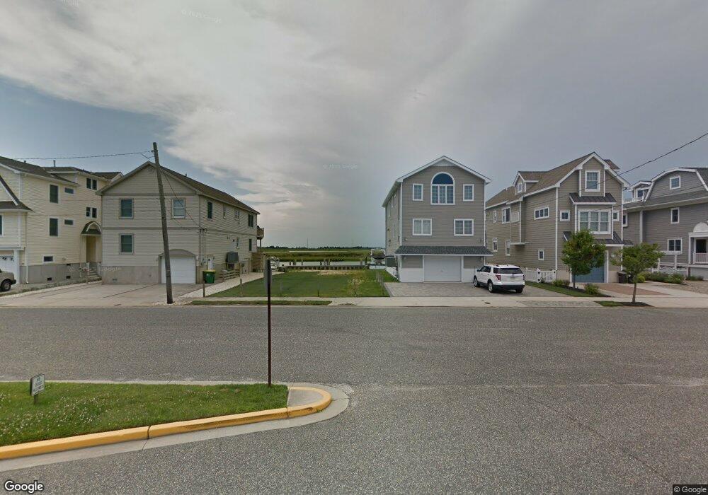
708 21st St Avalon, NJ 08202
Estimated Value: $3,204,000 - $4,630,000
--
Bed
--
Bath
2,566
Sq Ft
$1,566/Sq Ft
Est. Value
About This Home
This home is located at 708 21st St, Avalon, NJ 08202 and is currently estimated at $4,018,300, approximately $1,565 per square foot. 708 21st St is a home with nearby schools including Avalon Elementary School.
Ownership History
Date
Name
Owned For
Owner Type
Purchase Details
Closed on
Mar 24, 2022
Sold by
Waverly Realty Llc
Bought by
Waverly Realty Llc
Current Estimated Value
Purchase Details
Closed on
Feb 2, 2017
Sold by
Caracausa David J and Caracausa Karen E
Bought by
Waverly Realty Llc
Purchase Details
Closed on
May 20, 2008
Sold by
Caracausa Karen E
Bought by
Caracausa David J and Caracausa Karen E
Purchase Details
Closed on
May 8, 2007
Sold by
Linde Eleanor
Bought by
Caracausa Karen E
Purchase Details
Closed on
Apr 30, 2007
Sold by
Linde Robert Wayne
Bought by
Caracausa Karen E
Purchase Details
Closed on
Oct 1, 2004
Sold by
Estate Of Warren Linde and Linde Eleanor
Bought by
Linde Eleanor and The Warren R Linde Testamentary Unified
Create a Home Valuation Report for This Property
The Home Valuation Report is an in-depth analysis detailing your home's value as well as a comparison with similar homes in the area
Home Values in the Area
Average Home Value in this Area
Purchase History
| Date | Buyer | Sale Price | Title Company |
|---|---|---|---|
| Waverly Realty Llc | -- | Laughlin Kathryn M | |
| Waverly Realty Llc | $1,267,270 | None Available | |
| Caracausa David J | -- | Fidelity Title Abstract Co | |
| Caracausa Karen E | $600,000 | Fidelity Title Abstract Co | |
| Caracausa Karen E | $600,000 | Fidelity Title Abstract Co | |
| Linde Eleanor | -- | -- |
Source: Public Records
Tax History Compared to Growth
Tax History
| Year | Tax Paid | Tax Assessment Tax Assessment Total Assessment is a certain percentage of the fair market value that is determined by local assessors to be the total taxable value of land and additions on the property. | Land | Improvement |
|---|---|---|---|---|
| 2025 | $14,748 | $2,402,000 | $1,200,000 | $1,202,000 |
| 2024 | $14,748 | $2,402,000 | $1,200,000 | $1,202,000 |
| 2023 | $7,308 | $1,200,000 | $1,200,000 | $0 |
| 2022 | $6,816 | $1,200,000 | $1,200,000 | $0 |
| 2021 | $6,577 | $1,202,300 | $1,200,000 | $2,300 |
| 2020 | $6,324 | $1,202,300 | $1,200,000 | $2,300 |
| 2019 | $6,132 | $1,202,300 | $1,200,000 | $2,300 |
| 2018 | $5,867 | $1,202,300 | $1,200,000 | $2,300 |
| 2017 | $5,838 | $1,050,000 | $1,048,100 | $1,900 |
| 2016 | $5,775 | $1,050,000 | $1,048,100 | $1,900 |
| 2015 | $5,681 | $1,050,000 | $1,048,100 | $1,900 |
| 2014 | $5,618 | $1,050,000 | $1,048,100 | $1,900 |
Source: Public Records
Map
Nearby Homes
- 647 Barry Rd
- 503 20th St
- 440 21st St Unit South (B)
- 431 24th St
- 415 20th St
- 890 21st St
- 389 22nd St
- 704 Old Avalon Blvd
- 297 24th St Unit 297
- 297 24th St
- 2425 Harbor Ave Unit 2425
- 211 23rd St
- 212 25th St
- 212 25th St Unit East Unit
- 178 19th St
- 9 Seabreeze Ln
- 174 23rd St
- 279 13th St Unit C-6
- 279 13th St
- 161 24th St