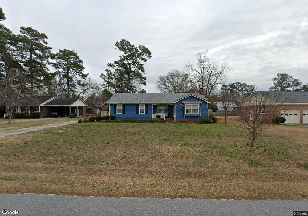
708 McKeithan Rd Florence, SC 29501
Estimated Value: $208,242 - $233,000
3
Beds
2
Baths
1,500
Sq Ft
$147/Sq Ft
Est. Value
About This Home
This home is located at 708 McKeithan Rd, Florence, SC 29501 and is currently estimated at $221,061, approximately $147 per square foot. 708 McKeithan Rd is a home located in Florence County with nearby schools including Carver Elementary School, Henry L. Sneed Middle School, and John W. Moore Middle School.
Ownership History
Date
Name
Owned For
Owner Type
Purchase Details
Closed on
May 25, 2012
Sold by
Whitaker Wilma N
Bought by
Campbell Nellie D
Current Estimated Value
Home Financials for this Owner
Home Financials are based on the most recent Mortgage that was taken out on this home.
Original Mortgage
$109,160
Outstanding Balance
$75,367
Interest Rate
3.75%
Mortgage Type
FHA
Estimated Equity
$145,694
Purchase Details
Closed on
Jun 16, 2005
Sold by
Brown Mary Lois
Bought by
Whitaker Wilma N and Brett A Karisen Life Estate Trust
Create a Home Valuation Report for This Property
The Home Valuation Report is an in-depth analysis detailing your home's value as well as a comparison with similar homes in the area
Home Values in the Area
Average Home Value in this Area
Purchase History
| Date | Buyer | Sale Price | Title Company |
|---|---|---|---|
| Campbell Nellie D | $112,000 | -- | |
| Whitaker Wilma N | $128,500 | -- |
Source: Public Records
Mortgage History
| Date | Status | Borrower | Loan Amount |
|---|---|---|---|
| Open | Campbell Nellie D | $109,160 |
Source: Public Records
Tax History Compared to Growth
Tax History
| Year | Tax Paid | Tax Assessment Tax Assessment Total Assessment is a certain percentage of the fair market value that is determined by local assessors to be the total taxable value of land and additions on the property. | Land | Improvement |
|---|---|---|---|---|
| 2024 | $537 | $6,137 | $800 | $5,337 |
| 2023 | $468 | $4,469 | $800 | $3,669 |
| 2022 | $639 | $4,469 | $800 | $3,669 |
| 2021 | $579 | $4,470 | $0 | $0 |
| 2020 | $588 | $4,470 | $0 | $0 |
| 2019 | $589 | $4,469 | $800 | $3,669 |
| 2018 | $529 | $4,470 | $0 | $0 |
| 2017 | $503 | $4,470 | $0 | $0 |
| 2016 | $411 | $4,470 | $0 | $0 |
| 2015 | $406 | $4,470 | $0 | $0 |
| 2014 | $373 | $4,469 | $800 | $3,669 |
Source: Public Records
Map
Nearby Homes
- 731 Coventry Ln
- 711 Harriett Dr
- 711 A8 Coventry Ln
- 608 Stoneybrook Terrace
- 4145 Rodanthe Cir
- 3821 Ashwood Ln
- Woodhaven Plan at Brookshire - Stonehill Collection
- Idlewood Plan at Brookshire - Stonehill Collection
- Newlin Plan at Brookshire - Watermill Collection
- Beckman Plan at Brookshire - Watermill Collection
- Lookout Plan at Brookshire - Stonehill Collection
- Pearce Plan at Brookshire - Watermill Collection
- 4165 Rodanthe Cir
- 4169 Rodanthe Cir
- 1728 Oakdale Terrace Blvd
- 4135 W Pelican Ln
- 708 Muirfield Place
- 345 Magna Carta Rd
- 3844 W Lake Dr
- 4023 Roxboro Ct
- 712 McKeithan Rd
- 704 McKeithan Rd
- 707 Kitty Ln
- 705 Kitty Ln
- 711 Kitty Ln
- 707 McKeithan Rd
- 700 McKeithan Rd
- 711 McKeithan Rd
- 715 Kitty Ln
- 701 Kitty Ln
- 715 McKeithan Rd
- 11116 Old Ebenezer Rd
- 11036 Old Ebenezer Rd
- 11136 Old Ebenezer Rd
- 11078 Old Ebenezer Rd
- 11076 Old Ebenezer Rd
- 9A Jody Rd
- 9C Jody Rd
- 4A Jody Rd
- 11138 Old Ebenezer Rd