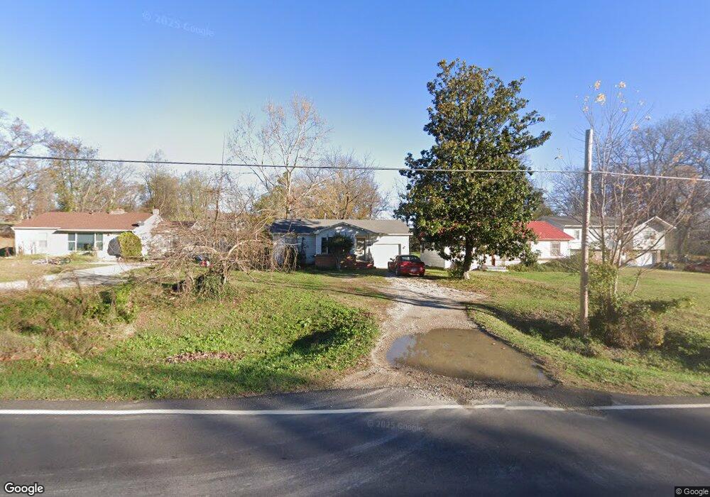
709 Joe Jones Blvd West Plains, MO 65775
Estimated Value: $63,035 - $97,000
--
Bed
--
Bath
832
Sq Ft
$97/Sq Ft
Est. Value
About This Home
This home is located at 709 Joe Jones Blvd, West Plains, MO 65775 and is currently estimated at $80,509, approximately $96 per square foot. 709 Joe Jones Blvd is a home with nearby schools including West Plains Senior High School.
Ownership History
Date
Name
Owned For
Owner Type
Purchase Details
Closed on
May 24, 2013
Sold by
Crow Kenneth N and Crow Irene
Bought by
Mopar Llc
Current Estimated Value
Home Financials for this Owner
Home Financials are based on the most recent Mortgage that was taken out on this home.
Original Mortgage
$37,500
Outstanding Balance
$26,537
Interest Rate
3.45%
Mortgage Type
Future Advance Clause Open End Mortgage
Estimated Equity
$53,972
Purchase Details
Closed on
Apr 21, 2006
Sold by
Allen Clinton L and Allen Marjorie S
Bought by
Allen Clinton L and Allen Marjorie S
Create a Home Valuation Report for This Property
The Home Valuation Report is an in-depth analysis detailing your home's value as well as a comparison with similar homes in the area
Home Values in the Area
Average Home Value in this Area
Purchase History
| Date | Buyer | Sale Price | Title Company |
|---|---|---|---|
| Mopar Llc | -- | None Available | |
| Allen Clinton L | -- | None Available |
Source: Public Records
Mortgage History
| Date | Status | Borrower | Loan Amount |
|---|---|---|---|
| Open | Mopar Llc | $37,500 |
Source: Public Records
Tax History Compared to Growth
Tax History
| Year | Tax Paid | Tax Assessment Tax Assessment Total Assessment is a certain percentage of the fair market value that is determined by local assessors to be the total taxable value of land and additions on the property. | Land | Improvement |
|---|---|---|---|---|
| 2025 | $326 | $7,870 | $850 | $7,020 |
| 2024 | $324 | $7,030 | -- | -- |
| 2023 | $324 | $7,030 | $0 | $0 |
| 2022 | $306 | $6,650 | $0 | $0 |
| 2021 | $280 | $6,650 | $0 | $0 |
| 2020 | $280 | $5,930 | $0 | $0 |
| 2019 | $290 | $5,930 | $0 | $0 |
| 2018 | $290 | $5,930 | $0 | $0 |
| 2017 | $289 | $5,930 | $0 | $0 |
| 2015 | -- | $5,780 | $0 | $0 |
| 2014 | -- | $5,780 | $0 | $0 |
| 2013 | -- | $5,780 | $0 | $0 |
Source: Public Records
Map
Nearby Homes
- 1141 Allen St
- 1331 N Howell Ave
- 1241 Allen St
- 623 Sesson St
- 619 Sesson St
- 000 Davidson St
- 1224 Columbus St
- 1235 Columbus St
- 1263 Jackson St
- 000 U S 160
- 326 Rader Dr
- 1231 Jefferson Ave
- 1211 Washington Ave
- 1221 Jefferson Ave
- 1215 Jefferson Ave
- 935 Saint Louis St
- 1110 Lincoln Ave
- 1058 Lincoln Ave
- Tbd Rader Dr
- 203 Rader Dr
- 711 Joe Jones Blvd
- 713 Joe Jones Blvd
- 641 Joe Jones Blvd
- 706 Joe Jones Blvd
- 704 Joe Jones Blvd
- 708 Joe Jones Blvd
- 706 Eastwood Dr
- 710 Eastwood Dr
- 639 Joe Jones Blvd
- 712 Eastwood Dr
- 1149 Davidson St
- 704 Eastwood Dr
- 719 Joe Jones Blvd
- 636 Joe Jones Blvd
- 1207 Allen St
- 1145 Davidson St
- 705 Eastwood Dr
- 615 Joe Jones Blvd
- 1211 Allen St
- 1140 Davidson St