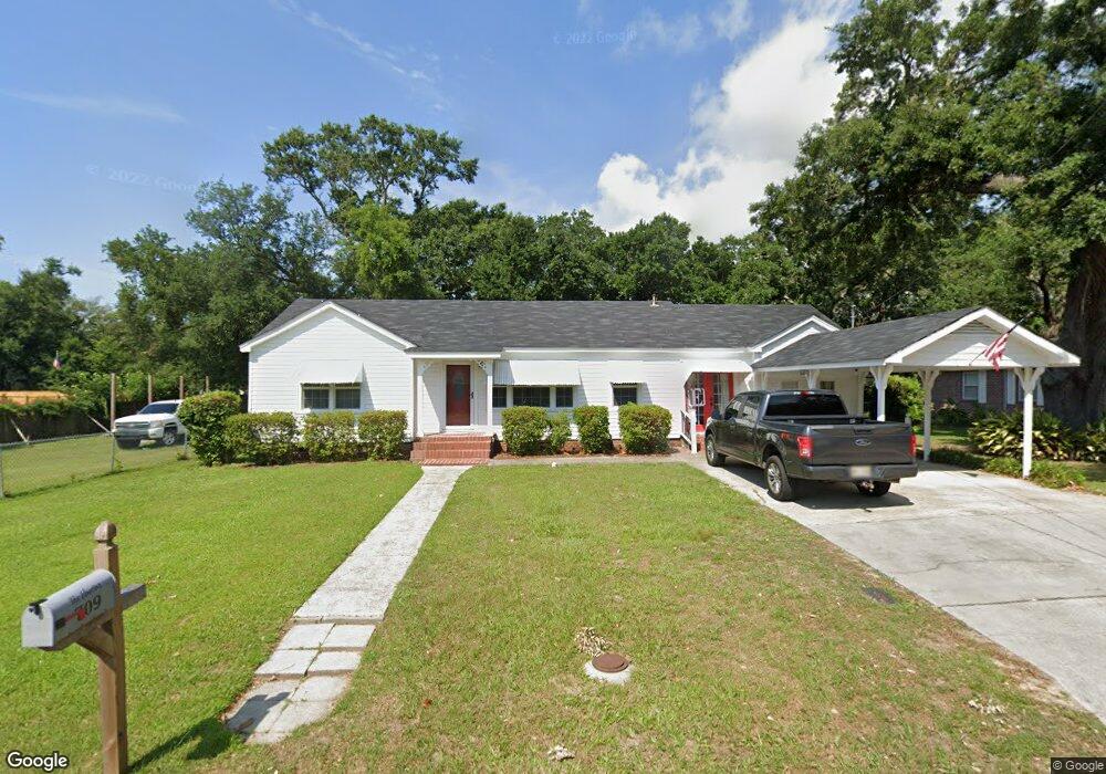
709 Rich Ave Gulfport, MS 39501
West Beach NeighborhoodEstimated Value: $171,327 - $260,000
2
Beds
--
Bath
1,756
Sq Ft
$124/Sq Ft
Est. Value
About This Home
This home is located at 709 Rich Ave, Gulfport, MS 39501 and is currently estimated at $217,332, approximately $123 per square foot. 709 Rich Ave is a home located in Harrison County with nearby schools including West Elementary School, Gulfport Central Middle School, and Gulfport High School.
Ownership History
Date
Name
Owned For
Owner Type
Purchase Details
Closed on
Jun 26, 2017
Bought by
Keeley John
Current Estimated Value
Home Financials for this Owner
Home Financials are based on the most recent Mortgage that was taken out on this home.
Original Mortgage
$176,757
Outstanding Balance
$146,896
Interest Rate
3.9%
Estimated Equity
$70,436
Purchase Details
Closed on
Jan 31, 2012
Sold by
Smith Richard Kent
Bought by
Elmore Roger T and Elmore Cheryl L
Create a Home Valuation Report for This Property
The Home Valuation Report is an in-depth analysis detailing your home's value as well as a comparison with similar homes in the area
Home Values in the Area
Average Home Value in this Area
Purchase History
| Date | Buyer | Sale Price | Title Company |
|---|---|---|---|
| Keeley John | -- | -- | |
| Elmore Roger T | -- | -- |
Source: Public Records
Mortgage History
| Date | Status | Borrower | Loan Amount |
|---|---|---|---|
| Open | Elmore Roger T | $176,757 | |
| Closed | Elmore Roger T | -- |
Source: Public Records
Tax History Compared to Growth
Tax History
| Year | Tax Paid | Tax Assessment Tax Assessment Total Assessment is a certain percentage of the fair market value that is determined by local assessors to be the total taxable value of land and additions on the property. | Land | Improvement |
|---|---|---|---|---|
| 2024 | $1,701 | $12,892 | $0 | $0 |
| 2023 | $1,744 | $12,892 | $0 | $0 |
| 2022 | $1,685 | $12,459 | $0 | $0 |
| 2021 | $1,685 | $12,459 | $0 | $0 |
| 2020 | $1,467 | $10,845 | $0 | $0 |
| 2019 | $1,199 | $8,862 | $0 | $0 |
| 2018 | $1,199 | $8,862 | $0 | $0 |
| 2017 | $1,199 | $8,862 | $0 | $0 |
| 2015 | $1,173 | $8,668 | $0 | $0 |
| 2014 | -- | $10,652 | $0 | $0 |
| 2013 | -- | $8,668 | $2,976 | $5,693 |
Source: Public Records
Map
Nearby Homes
- 5102 Finley St
- 1282 W Beach Blvd Unit 123
- 450 W Beach Blvd
- 129 Ocean Wave Ave
- 807 Hardy Ave
- 134 Ocean Wave Ave
- 936 Beach Blvd E
- 932 E Beach Blvd
- 716 Ruth Ave
- 4832 W Beach Blvd
- 1015 Joseph Ave
- 4760 Sebring Cir
- 4754 Sebring Cir
- 103 E Azalea Dr
- 0 Fournier Ave
- 4731 W Beach Blvd
- 4748 Sebring Cir
- 547 Fournier Ave
- 541 Fournier Ave
- 535 Fournier Ave