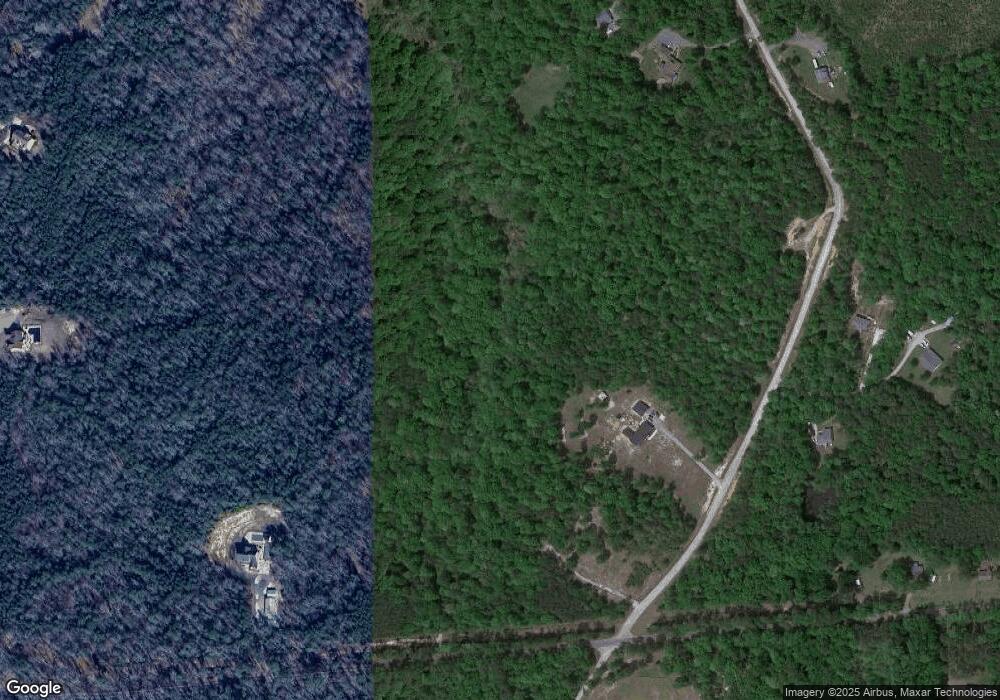
7090 Kentmere Rd Lanexa, VA 23089
Estimated Value: $668,905 - $791,000
3
Beds
3
Baths
2,494
Sq Ft
$294/Sq Ft
Est. Value
About This Home
This home is located at 7090 Kentmere Rd, Lanexa, VA 23089 and is currently estimated at $732,302, approximately $293 per square foot. 7090 Kentmere Rd is a home located in New Kent County with nearby schools including New Kent High School.
Ownership History
Date
Name
Owned For
Owner Type
Purchase Details
Closed on
Apr 28, 2017
Sold by
Carter Daniel W
Bought by
Carter Daniel and Carter Lori N
Current Estimated Value
Purchase Details
Closed on
Jun 3, 2009
Sold by
Windswept Development Llc
Bought by
Carter Daniel W
Home Financials for this Owner
Home Financials are based on the most recent Mortgage that was taken out on this home.
Original Mortgage
$80,000
Outstanding Balance
$50,708
Interest Rate
4.83%
Mortgage Type
Land Contract Argmt. Of Sale
Estimated Equity
$681,594
Create a Home Valuation Report for This Property
The Home Valuation Report is an in-depth analysis detailing your home's value as well as a comparison with similar homes in the area
Purchase History
| Date | Buyer | Sale Price | Title Company |
|---|---|---|---|
| Carter Daniel | -- | None Available | |
| Carter Daniel W | $100,000 | -- |
Source: Public Records
Mortgage History
| Date | Status | Borrower | Loan Amount |
|---|---|---|---|
| Open | Carter Daniel W | $80,000 |
Source: Public Records
Tax History Compared to Growth
Tax History
| Year | Tax Paid | Tax Assessment Tax Assessment Total Assessment is a certain percentage of the fair market value that is determined by local assessors to be the total taxable value of land and additions on the property. | Land | Improvement |
|---|---|---|---|---|
| 2025 | $3,514 | $585,700 | $247,400 | $338,300 |
| 2024 | $3,456 | $585,700 | $247,400 | $338,300 |
| 2023 | $3,310 | $494,000 | $175,000 | $319,000 |
| 2022 | $331 | $494,000 | $175,000 | $319,000 |
| 2021 | $2,931 | $371,000 | $140,500 | $230,500 |
| 2020 | $293 | $371,000 | $140,500 | $230,500 |
| 2019 | $2,592 | $316,100 | $109,600 | $206,500 |
| 2018 | $2,592 | $316,100 | $109,600 | $206,500 |
| 2017 | $857 | $103,200 | $103,200 | $0 |
| 2016 | $857 | $103,200 | $103,200 | $0 |
| 2015 | $917 | $109,200 | $109,200 | $0 |
| 2014 | -- | $109,200 | $109,200 | $0 |
Source: Public Records
Map
Nearby Homes
- 000 Clarke Rd
- 15830 New Kent Hwy
- 7713 Leeds Castle Ln
- 8310 Elysium Dr
- 0 Good Hope Rd Unit 2500176
- 0 Good Hope Rd Unit 2501743
- 5570 Tyshire Pkwy
- 11955 Pergola Ct
- Lot 6 Walsingham Way
- Lot 7 Walsingham Way
- 5950 Brickshire Dr
- 5591 Scotsview Dr
- McDowell Plan at Brickshire
- Roanoke Plan at Brickshire
- Oxford Plan at Brickshire
- Drexel Plan at Brickshire
- Cypress Plan at Brickshire
- Colfax Plan at Brickshire
- Davidson Plan at Brickshire
- Caldwell Plan at Brickshire
- Parcels 1 & 2 25-30 End of Kentmere Rd
- Lot 11 Kentmere
- Lot 10 Kentmere
- Lot 13 Kentmere Rd
- 0000 End of Kentmere Rd
- Parcel 2 Kentmere Rd
- Parcel 1 Kentmere Rd
- Lot 15 Kentmere Rd
- Lot 12 Kentmere Rd
- 13960 New Kent Hwy
- 7516 Kentmere Rd
- 7145 Kentmere Rd
- 7165 Kentmere Rd
- 14150 Dare Way
- 8500 Dare Trace
- 8540 Dare Trace
- 14190 Dare Way
- 14120 New Kent Hwy Unit L
- 7345 Kentmere Rd
- 7155 Kentmere Rd
