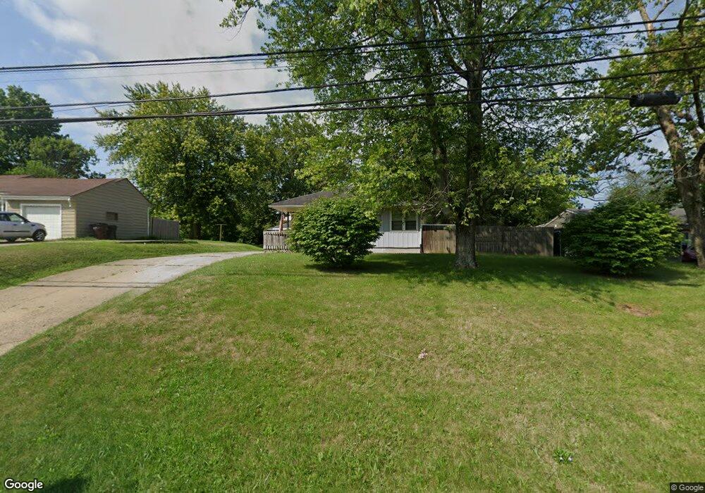
7093 State Route 123 Franklin, OH 45005
Estimated Value: $196,333 - $216,000
3
Beds
2
Baths
1,674
Sq Ft
$123/Sq Ft
Est. Value
About This Home
This home is located at 7093 State Route 123, Franklin, OH 45005 and is currently estimated at $206,333, approximately $123 per square foot. 7093 State Route 123 is a home located in Warren County with nearby schools including Franklin High School.
Ownership History
Date
Name
Owned For
Owner Type
Purchase Details
Closed on
Dec 13, 2016
Sold by
Pressler Stephen T
Bought by
Fletcher Adam
Current Estimated Value
Purchase Details
Closed on
Dec 11, 2002
Sold by
Poirier Richard
Bought by
Pressler Steven T
Home Financials for this Owner
Home Financials are based on the most recent Mortgage that was taken out on this home.
Original Mortgage
$86,400
Interest Rate
6.25%
Mortgage Type
New Conventional
Purchase Details
Closed on
Oct 19, 1981
Sold by
Scearce Scearce and Scearce Kenneth Lee
Create a Home Valuation Report for This Property
The Home Valuation Report is an in-depth analysis detailing your home's value as well as a comparison with similar homes in the area
Home Values in the Area
Average Home Value in this Area
Purchase History
| Date | Buyer | Sale Price | Title Company |
|---|---|---|---|
| Fletcher Adam | $77,500 | Vantage Land Title | |
| Pressler Steven T | $91,000 | -- | |
| -- | $45,000 | -- |
Source: Public Records
Mortgage History
| Date | Status | Borrower | Loan Amount |
|---|---|---|---|
| Previous Owner | Pressler Steven T | $86,400 |
Source: Public Records
Tax History Compared to Growth
Tax History
| Year | Tax Paid | Tax Assessment Tax Assessment Total Assessment is a certain percentage of the fair market value that is determined by local assessors to be the total taxable value of land and additions on the property. | Land | Improvement |
|---|---|---|---|---|
| 2024 | $2,186 | $49,290 | $11,810 | $37,480 |
| 2023 | $1,872 | $37,992 | $7,413 | $30,579 |
| 2022 | $1,830 | $37,993 | $7,413 | $30,580 |
| 2021 | $1,728 | $37,993 | $7,413 | $30,580 |
| 2020 | $1,738 | $33,621 | $6,559 | $27,062 |
| 2019 | $1,571 | $33,621 | $6,559 | $27,062 |
| 2018 | $1,562 | $33,621 | $6,559 | $27,062 |
| 2017 | $1,550 | $30,170 | $5,982 | $24,189 |
| 2016 | $1,583 | $30,170 | $5,982 | $24,189 |
| 2015 | $1,584 | $30,170 | $5,982 | $24,189 |
| 2014 | $1,620 | $30,170 | $5,980 | $24,190 |
| 2013 | $1,378 | $33,080 | $6,560 | $26,520 |
Source: Public Records
Map
Nearby Homes
- 0 Kathy Ln Unit 1834240
- 0 Kathy Ln Unit 930066
- 187 Minnick St
- 16 Harding Ct
- 218 Roberts Ave
- 388 Thomas Dr
- 441 Sunnybrook Dr
- 452 Greenup Ct
- 779 Martha Dr
- 121 E 5th St
- 1200 Riley Blvd
- 519 Anderson St
- 1010 S Main St
- 820 S River St
- 445 Beam Dr
- 206 Meadow Dr
- 200 Meadow Dr
- 1007 S River St
- 1117 S Main St
- 995 E 4th St
- 7077 State Route 123
- 7123 State Route 123
- 7042 Howard Rd
- 7024 Howard Rd
- 7051 State Route 123
- 7135 Ohio 123
- 7135 State Route 123
- 5134 Spring Dr
- 7052 Howard Rd
- 7008 Howard Rd
- 7066 Howard Rd
- 7149 Ohio 123
- 7149 State Route 123
- 7136 State Route 123
- 7136 State Route 123
- 7078 Howard Rd
- 0 Spring Dr Unit 818933
- 0 Spring Dr Unit 1618059
- 0 Spring Dr
- 7023 Howard Rd