Estimated Value: $414,935 - $496,000
3
Beds
1
Bath
1,788
Sq Ft
$254/Sq Ft
Est. Value
About This Home
This home is located at 71 Blake Rd, Weare, NH 03281 and is currently estimated at $454,984, approximately $254 per square foot. 71 Blake Rd is a home with nearby schools including Center Woods Elementary School, Weare Middle School, and John Stark Regional High School.
Create a Home Valuation Report for This Property
The Home Valuation Report is an in-depth analysis detailing your home's value as well as a comparison with similar homes in the area
Home Values in the Area
Average Home Value in this Area
Tax History Compared to Growth
Tax History
| Year | Tax Paid | Tax Assessment Tax Assessment Total Assessment is a certain percentage of the fair market value that is determined by local assessors to be the total taxable value of land and additions on the property. | Land | Improvement |
|---|---|---|---|---|
| 2024 | $5,269 | $258,400 | $92,300 | $166,100 |
| 2023 | $4,868 | $258,400 | $92,300 | $166,100 |
| 2022 | $4,496 | $258,400 | $92,300 | $166,100 |
| 2021 | $4,444 | $258,400 | $92,300 | $166,100 |
| 2020 | $4,673 | $195,100 | $70,900 | $124,200 |
| 2019 | $4,626 | $195,100 | $70,900 | $124,200 |
| 2018 | $4,445 | $193,000 | $70,900 | $122,100 |
| 2016 | $4,315 | $192,900 | $70,800 | $122,100 |
| 2015 | $4,413 | $196,900 | $69,700 | $127,200 |
| 2014 | $4,373 | $196,900 | $69,700 | $127,200 |
| 2013 | $4,283 | $196,900 | $69,700 | $127,200 |
Source: Public Records
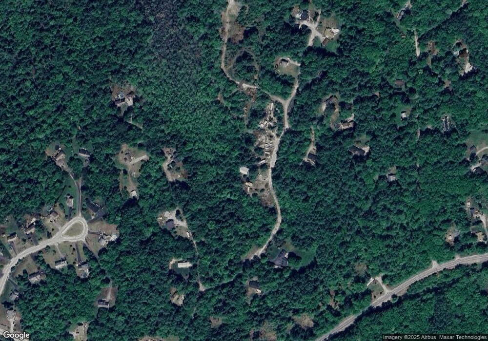
Map
Nearby Homes
- 40 N Woods Rd
- 57 Lyndsey Ln
- 0 Als Dr Unit 196
- 541 South Rd
- 256-0-17 Jewett Rd
- 256 Irish Hill Rd
- 102 Fieldstone Rd
- 0 Farrington Corner Rd Unit 14
- I3-03-05 Clinton St
- 89 Old Henniker Rd
- 656 Dolly Rd
- 167 Branch Londonderry Turnpike
- 0 Huntington Hill Rd Unit 69
- 250 Grapevine Rd
- 49 Stark Hwy N
- 0 Bound Tree Rd Unit 50 5060705
- 490 Page Rd
- 849 River Rd
- 0 George Rd Unit 30
- 1003 School St