71 Blanchard Butte Rd Roberts, MT 59070
Estimated Value: $444,000 - $957,000
4
Beds
3
Baths
2,633
Sq Ft
$239/Sq Ft
Est. Value
About This Home
This home is located at 71 Blanchard Butte Rd, Roberts, MT 59070 and is currently estimated at $629,668, approximately $239 per square foot. 71 Blanchard Butte Rd is a home located in Carbon County with nearby schools including Joliet Elementary School and Joliet Middle School.
Ownership History
Date
Name
Owned For
Owner Type
Purchase Details
Closed on
Nov 26, 2013
Sold by
Enterline Michael C and Enterline Joy I
Bought by
Doll Diana I
Current Estimated Value
Home Financials for this Owner
Home Financials are based on the most recent Mortgage that was taken out on this home.
Original Mortgage
$289,550
Outstanding Balance
$231,998
Interest Rate
6.25%
Mortgage Type
New Conventional
Estimated Equity
$397,670
Create a Home Valuation Report for This Property
The Home Valuation Report is an in-depth analysis detailing your home's value as well as a comparison with similar homes in the area
Home Values in the Area
Average Home Value in this Area
Purchase History
| Date | Buyer | Sale Price | Title Company |
|---|---|---|---|
| Doll Diana I | $361,937 | -- |
Source: Public Records
Mortgage History
| Date | Status | Borrower | Loan Amount |
|---|---|---|---|
| Open | Doll Diana I | $289,550 |
Source: Public Records
Tax History Compared to Growth
Tax History
| Year | Tax Paid | Tax Assessment Tax Assessment Total Assessment is a certain percentage of the fair market value that is determined by local assessors to be the total taxable value of land and additions on the property. | Land | Improvement |
|---|---|---|---|---|
| 2025 | $1,046 | $583,800 | $0 | $0 |
| 2024 | $1,237 | $498,200 | $0 | $0 |
| 2023 | $1,818 | $498,200 | $0 | $0 |
| 2022 | $1,198 | $356,500 | $0 | $0 |
| 2021 | $2,276 | $356,500 | $0 | $0 |
| 2020 | $1,968 | $307,100 | $0 | $0 |
| 2019 | $1,965 | $307,100 | $0 | $0 |
| 2018 | $1,895 | $297,200 | $0 | $0 |
| 2017 | $1,981 | $297,200 | $0 | $0 |
| 2016 | $1,814 | $273,900 | $0 | $0 |
| 2015 | $1,765 | $273,900 | $0 | $0 |
| 2014 | $1,574 | $140,874 | $0 | $0 |
Source: Public Records
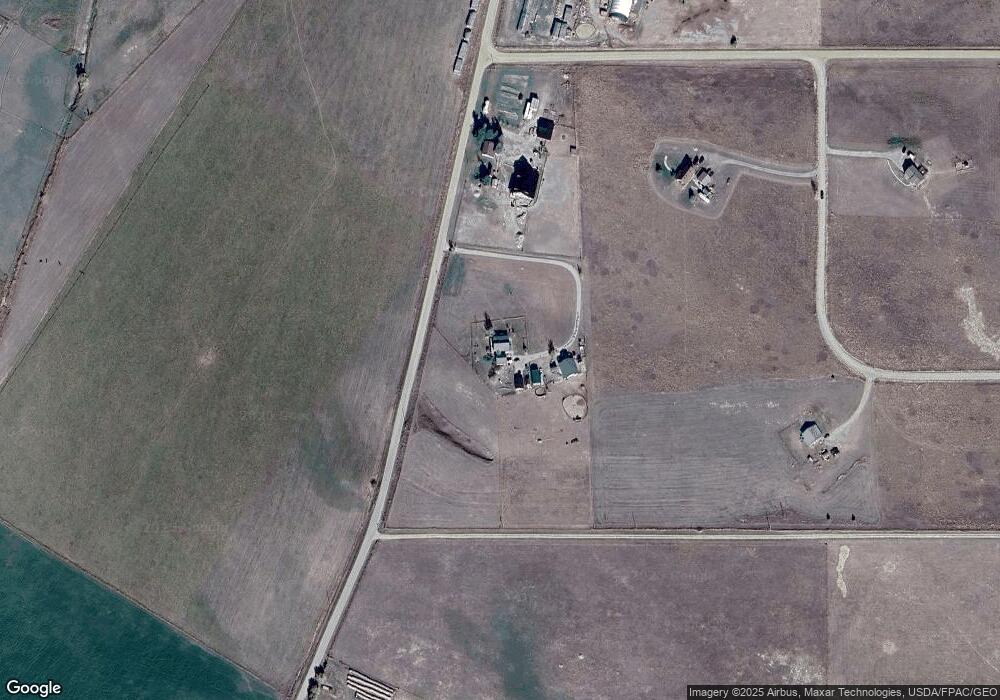
Map
Nearby Homes
- TBD Cow Creek Rd
- 10 Cattle Dr
- TBD Laptop Loop
- 5 Cursor Cir
- 0 Laptop Loop
- 11 Backup St
- 13 Wireless Way
- 151 Laptop Loop
- NSN Wireless Way
- 25 Painted Ln
- NSN Cooney Rd
- 512 W Front Ave
- 110 N Park St
- NHN Hilltop Dr
- 111 W Carbon Ave
- 101 N Park St
- 101 S 2nd St
- 3 Sage Dr
- TBD Sam's Retreat Lower Lot
- 16 Wilson Ln
- 59 Blanchard Butte Rd
- 6 Whitetail Dr
- 18 Whitetail Dr
- LOT 17 Whitetail Rd
- 2 Whitetail Dr
- 47 Blanchard Butte Rd
- 5 Whitetail Dr
- 2 Bates Ln
- TBD Whitetail Dr
- 19 Greenwood Ln
- 83 Blanchard Butte Rd
- 36 Whitetail Dr
- 8894 Us Highway 212
- 8880 U S 212
- 8874 Us Highway 212
- 8880 Us Highway 212
- 41 Whitetail Dr
- 12 Whitetail Dr
- 8858 U S 212
- 29 Blanchard Butte Rd