71 Collins Brook Rd Meredith, NH 03253
Estimated Value: $1,546,170 - $1,676,000
2
Beds
1
Bath
1,080
Sq Ft
$1,493/Sq Ft
Est. Value
About This Home
This home is located at 71 Collins Brook Rd, Meredith, NH 03253 and is currently estimated at $1,612,293, approximately $1,492 per square foot. 71 Collins Brook Rd is a home located in Belknap County with nearby schools including Inter-Lakes Elementary School, Sandwich Central School, and Inter-Lakes Middle High School.
Ownership History
Date
Name
Owned For
Owner Type
Purchase Details
Closed on
Jun 17, 2008
Sold by
Mary E Quintana Ret
Bought by
Tracy Richard C and Tracy Margaret E
Current Estimated Value
Home Financials for this Owner
Home Financials are based on the most recent Mortgage that was taken out on this home.
Original Mortgage
$308,000
Interest Rate
6.13%
Mortgage Type
Purchase Money Mortgage
Create a Home Valuation Report for This Property
The Home Valuation Report is an in-depth analysis detailing your home's value as well as a comparison with similar homes in the area
Home Values in the Area
Average Home Value in this Area
Purchase History
| Date | Buyer | Sale Price | Title Company |
|---|---|---|---|
| Tracy Richard C | $385,000 | -- |
Source: Public Records
Mortgage History
| Date | Status | Borrower | Loan Amount |
|---|---|---|---|
| Open | Tracy Richard C | $444,000 | |
| Closed | Tracy Richard C | $306,000 | |
| Closed | Tracy Richard C | $308,000 |
Source: Public Records
Tax History
| Year | Tax Paid | Tax Assessment Tax Assessment Total Assessment is a certain percentage of the fair market value that is determined by local assessors to be the total taxable value of land and additions on the property. | Land | Improvement |
|---|---|---|---|---|
| 2024 | $12,535 | $1,221,700 | $776,300 | $445,400 |
| 2023 | $12,083 | $1,221,700 | $776,300 | $445,400 |
| 2022 | $10,403 | $744,700 | $420,700 | $324,000 |
| 2021 | $10,001 | $744,700 | $420,700 | $324,000 |
| 2020 | $3,782 | $744,700 | $420,700 | $324,000 |
| 2019 | $10,214 | $642,800 | $344,300 | $298,500 |
| 2018 | $10,041 | $642,800 | $344,300 | $298,500 |
| 2016 | $8,893 | $570,400 | $287,800 | $282,600 |
| 2015 | $8,670 | $570,400 | $287,800 | $282,600 |
| 2014 | $8,459 | $570,400 | $287,800 | $282,600 |
| 2013 | $7,933 | $550,500 | $287,800 | $262,700 |
Source: Public Records
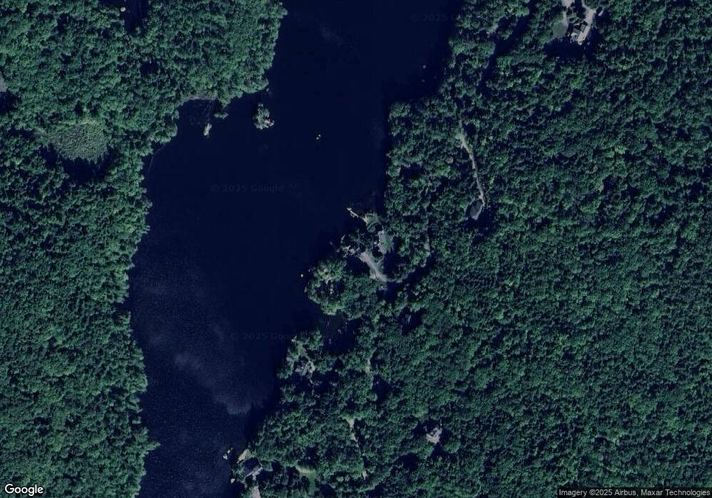
Map
Nearby Homes
- 1 Sanctuary Ln
- 18 Solace Pointe Rd
- 178 Meredith Center Rd
- 6 Loon Point Rd
- 00 Chemung Rd Unit 31
- 207 Pease Rd
- 65 Tucker Mountain Rd
- 00 Pease Rd Unit 3A
- 18 Hickorywood Cir
- 70 Hatch Corner Rd
- 358 Roller Coaster Rd
- 0 Black Brook Rd Unit 5063655
- 447 Nh Route 104
- 490 Meredith Center Rd
- 391 Turner Way
- 119 Black Brook Rd
- 5 Clover Ridge Rd
- 47 Clover Ridge Rd
- 64 Granite Ridge
- 74 Granite Ridge
- 73 Collins Brook Rd
- 69 Collins Brook Rd
- Lot #41A Collins Brook Rd
- 70 Collins Brook Rd
- 63 Collins Brook Rd
- 81 Collins Brook Rd
- 59 Collins Brook Rd
- 1 Filgate Island
- 54 Collins Brook Rd Unit 54
- 5 Rudoc Rd
- 53 Collins Brook Rd Unit 53
- 104 Collins Brook Rd
- 98 Collins Brook Rd
- 92 Collins Brook Rd
- 49 Collins Brook Rd
- 60 Collins Brook Rd
- 42 Collins Brook Rd
- 26 Collins Brook Rd
- 24 Collins Brook Rd
- 74 Collins Brook Rd
Your Personal Tour Guide
Ask me questions while you tour the home.