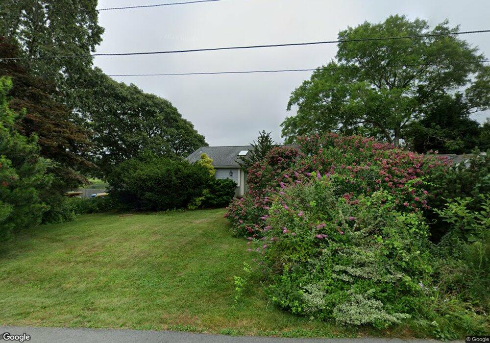
71 Elgin Rd Pocasset, MA 02559
Pocasset NeighborhoodEstimated Value: $1,061,000 - $1,690,000
4
Beds
2
Baths
2,594
Sq Ft
$578/Sq Ft
Est. Value
About This Home
This home is located at 71 Elgin Rd, Pocasset, MA 02559 and is currently estimated at $1,499,426, approximately $578 per square foot. 71 Elgin Rd is a home located in Barnstable County with nearby schools including Bourne High School, Cadence Academy Preschool - Bourne, and Heritage Christian Academy.
Ownership History
Date
Name
Owned For
Owner Type
Purchase Details
Closed on
Nov 16, 2023
Sold by
Black Ft and Black
Bought by
Black Joel D
Current Estimated Value
Home Financials for this Owner
Home Financials are based on the most recent Mortgage that was taken out on this home.
Original Mortgage
$994,000
Outstanding Balance
$974,038
Interest Rate
7.25%
Mortgage Type
Purchase Money Mortgage
Estimated Equity
$525,388
Create a Home Valuation Report for This Property
The Home Valuation Report is an in-depth analysis detailing your home's value as well as a comparison with similar homes in the area
Home Values in the Area
Average Home Value in this Area
Purchase History
| Date | Buyer | Sale Price | Title Company |
|---|---|---|---|
| Black Joel D | $987,183 | None Available | |
| Black Joel D | $987,183 | None Available |
Source: Public Records
Mortgage History
| Date | Status | Borrower | Loan Amount |
|---|---|---|---|
| Open | Black Joel D | $994,000 | |
| Closed | Black Joel D | $994,000 |
Source: Public Records
Tax History
| Year | Tax Paid | Tax Assessment Tax Assessment Total Assessment is a certain percentage of the fair market value that is determined by local assessors to be the total taxable value of land and additions on the property. | Land | Improvement |
|---|---|---|---|---|
| 2025 | $13,686 | $1,752,400 | $1,367,800 | $384,600 |
| 2024 | $13,384 | $1,668,800 | $1,302,600 | $366,200 |
| 2023 | $13,012 | $1,477,000 | $1,152,800 | $324,200 |
| 2022 | $13,883 | $1,375,900 | $1,118,700 | $257,200 |
| 2021 | $13,485 | $1,252,100 | $1,018,100 | $234,000 |
| 2020 | $13,290 | $1,237,400 | $1,008,400 | $229,000 |
| 2019 | $12,869 | $1,224,500 | $1,008,400 | $216,100 |
| 2018 | $12,187 | $1,156,300 | $960,500 | $195,800 |
| 2017 | $11,719 | $1,137,800 | $951,400 | $186,400 |
| 2016 | $11,519 | $1,133,800 | $951,500 | $182,300 |
| 2015 | $11,417 | $1,133,800 | $951,500 | $182,300 |
Source: Public Records
Map
Nearby Homes
- 48 Red Brook Harbor Rd
- 75 Winsor Rd
- 15 Oak Ave
- 16 Michael Rd
- 1234 Route 28a
- 1234 Route 28a
- 254 Barlows Landing Rd
- 709 County Rd
- 3 4th Ave
- 7 4th Ave
- 14 Navajo Rd
- 3 1st St
- 31 Baxendale Rd
- 289 Old Main Rd
- 566 Shore Rd
- 28 Nathan Ellis Hwy
- 14 Ryder Rd
- 209 Waterside Dr
- 393 N Falmouth Hwy Unit 8
- 91 Wickertree Rd
Your Personal Tour Guide
Ask me questions while you tour the home.