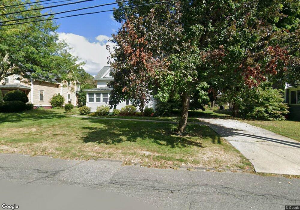
71 High St Florence, MA 01062
Florence NeighborhoodEstimated Value: $570,478 - $610,000
3
Beds
2
Baths
1,414
Sq Ft
$419/Sq Ft
Est. Value
About This Home
This home is located at 71 High St, Florence, MA 01062 and is currently estimated at $592,120, approximately $418 per square foot. 71 High St is a home located in Hampshire County with nearby schools including Northampton High School, The Montessori School of Northampton, and Lander Grinspoon Academy.
Create a Home Valuation Report for This Property
The Home Valuation Report is an in-depth analysis detailing your home's value as well as a comparison with similar homes in the area
Home Values in the Area
Average Home Value in this Area
Tax History
| Year | Tax Paid | Tax Assessment Tax Assessment Total Assessment is a certain percentage of the fair market value that is determined by local assessors to be the total taxable value of land and additions on the property. | Land | Improvement |
|---|---|---|---|---|
| 2025 | $7,659 | $549,800 | $150,000 | $399,800 |
| 2024 | $7,233 | $476,200 | $130,800 | $345,400 |
| 2023 | $6,639 | $419,100 | $118,900 | $300,200 |
| 2022 | $6,244 | $349,000 | $111,200 | $237,800 |
| 2021 | $5,369 | $309,100 | $105,700 | $203,400 |
| 2020 | $5,193 | $309,100 | $105,700 | $203,400 |
| 2019 | $4,579 | $263,600 | $105,700 | $157,900 |
| 2018 | $3,819 | $224,100 | $105,700 | $118,400 |
| 2017 | $3,740 | $224,100 | $105,700 | $118,400 |
| 2016 | $3,621 | $224,100 | $105,700 | $118,400 |
| 2015 | $3,569 | $225,900 | $113,900 | $112,000 |
| 2014 | $3,477 | $225,900 | $113,900 | $112,000 |
Source: Public Records
Map
Nearby Homes
- 44 Sheffield Ln
- 76 Maple St
- 67 Park St Unit A
- 575 Bridge Rd Unit 12-7
- 575 Bridge Rd Unit 10-5
- 37 Landy Ave
- 2 Juniper Place
- 0 Terrace Ln
- 63 Riverside Dr
- 42 Clark St
- 289 Hatfield St
- 88 Pines Edge Dr Unit 88
- 61 Woodlawn Ave
- 296 Ryan Rd Unit A
- 296 Ryan Rd
- 296 Ryan Rd Unit B
- 61 Harrison Ave
- 218 Elm St
- 32 Stonewall Dr
- 61 Crescent St Unit 8
Your Personal Tour Guide
Ask me questions while you tour the home.