71 Pointe Trinity Dr Strafford, NH 03884
Estimated Value: $902,000 - $2,081,000
4
Beds
5
Baths
5,159
Sq Ft
$311/Sq Ft
Est. Value
About This Home
This home is located at 71 Pointe Trinity Dr, Strafford, NH 03884 and is currently estimated at $1,604,742, approximately $311 per square foot. 71 Pointe Trinity Dr is a home located in Strafford County with nearby schools including Strafford School and Coe-Brown Northwood Academy.
Ownership History
Date
Name
Owned For
Owner Type
Purchase Details
Closed on
Feb 6, 2019
Sold by
Wensberg Erik C and Wensberg Molly D
Bought by
Erik & Molly Wensberg Ft
Current Estimated Value
Purchase Details
Closed on
Jan 8, 2019
Sold by
Wensberg Erik C and Wensberg Molly D
Bought by
Erik & Molly Wensberg Ft
Purchase Details
Closed on
Aug 10, 1998
Sold by
Camelot Tr
Bought by
Wensberg Erik C and Wensberg Molly D
Home Financials for this Owner
Home Financials are based on the most recent Mortgage that was taken out on this home.
Original Mortgage
$227,000
Interest Rate
6.92%
Create a Home Valuation Report for This Property
The Home Valuation Report is an in-depth analysis detailing your home's value as well as a comparison with similar homes in the area
Home Values in the Area
Average Home Value in this Area
Purchase History
| Date | Buyer | Sale Price | Title Company |
|---|---|---|---|
| Erik & Molly Wensberg Ft | -- | -- | |
| Erik & Molly Wensberg Ft | -- | -- | |
| Wensberg Erik C | $95,000 | -- |
Source: Public Records
Mortgage History
| Date | Status | Borrower | Loan Amount |
|---|---|---|---|
| Previous Owner | Wensberg Erik C | $527,065 | |
| Previous Owner | Wensberg Erik C | $520,500 | |
| Previous Owner | Wensberg Erik C | $227,000 |
Source: Public Records
Tax History
| Year | Tax Paid | Tax Assessment Tax Assessment Total Assessment is a certain percentage of the fair market value that is determined by local assessors to be the total taxable value of land and additions on the property. | Land | Improvement |
|---|---|---|---|---|
| 2024 | $23,471 | $1,187,800 | $432,900 | $754,900 |
| 2023 | $21,874 | $1,173,500 | $432,900 | $740,600 |
| 2022 | $20,102 | $1,173,500 | $432,900 | $740,600 |
| 2021 | $21,663 | $1,173,500 | $432,900 | $740,600 |
| 2020 | $19,961 | $778,200 | $216,000 | $562,200 |
| 2019 | $18,213 | $776,000 | $216,000 | $560,000 |
| 2018 | $18,266 | $773,000 | $216,000 | $557,000 |
| 2016 | $16,309 | $767,500 | $216,000 | $551,500 |
| 2015 | $17,021 | $780,400 | $246,000 | $534,400 |
| 2014 | $18,074 | $780,400 | $246,000 | $534,400 |
| 2013 | $17,704 | $780,600 | $246,000 | $534,600 |
| 2012 | $17,470 | $780,600 | $246,000 | $534,600 |
Source: Public Records
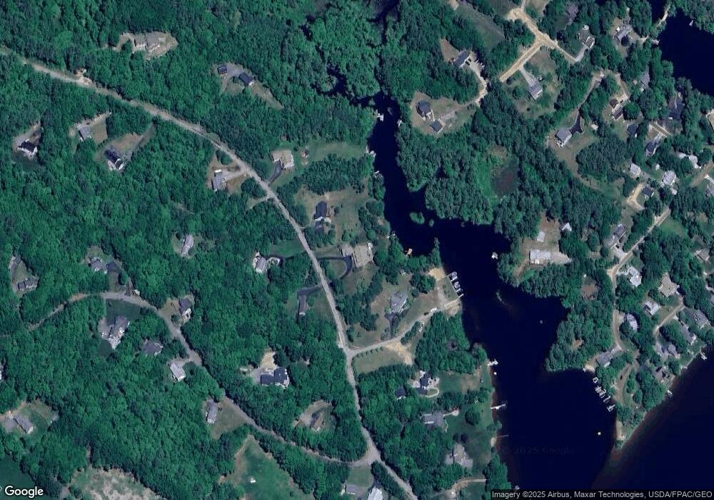
Map
Nearby Homes
- 114 Bow Lake Estates Rd
- 133 & 137 Browns Pasture Rd
- 239 Long Pond Rd
- Map 3 Lot 18-2b and 18-2c Water St
- Map 219 Lot 6-8 Ridge Rd
- 18 Collins Dr
- 0 1st New Hampshire Turnpike Unit 5013320
- 150A 1st New Hampshire Turnpike
- 26 Harmony Rd
- 73 Harvey Lake Rd
- 2 Oak Ct
- 26 Oak St
- M37 L40 Beaver Rd
- 641 & 647 First nh Turnpike
- 11 Chestnut Ln
- 17 Brook Cir
- 617 1st New Hampshire Turnpike Unit 9
- R11 07 Clough Rd
- 7 Chestnut Ln
- 21 Brook Cir
- 85 Pointe Trinity Dr
- 67 Pointe Trinity Dr
- 74 Pointe Trinity Dr
- 68 Pointe Trinity Dr
- 55 Pointe Trinity Dr
- 84 Pointe Trinity Dr
- 84 Pointe Trinity Dr Unit 1
- 95 Pointe Trinity Dr
- 52 Pointe Trinity Dr
- 30 Kooaukee Ct
- 58 Pointe Trinity Dr
- 92 Pointe Trinity Dr
- 37 Carter Way
- 99 Pointe Trinity Dr
- 41 Pointe Trinity Dr
- 41 Pointe Trinity Dr
- 40 Carter Way
- 109 Pointe Trinity Dr
- 28 Kooaukee Ct
- 38 Carter Way
Your Personal Tour Guide
Ask me questions while you tour the home.