71 Ridge Rd Franconia, NH 03580
Estimated Value: $677,000 - $1,157,000
3
Beds
3
Baths
2,000
Sq Ft
$457/Sq Ft
Est. Value
About This Home
This home is located at 71 Ridge Rd, Franconia, NH 03580 and is currently estimated at $914,281, approximately $457 per square foot. 71 Ridge Rd is a home located in Grafton County with nearby schools including Lafayette Regional School, Profile Junior High School, and Profile Senior High School.
Ownership History
Date
Name
Owned For
Owner Type
Purchase Details
Closed on
Jul 6, 2021
Sold by
Brewer Edward S
Bought by
Edward S Brewer Jr T
Current Estimated Value
Purchase Details
Closed on
Jan 18, 2018
Sold by
Edward S Brewer Jr T
Bought by
Brewer Edward S and Brewer Jane H
Purchase Details
Closed on
Dec 21, 2017
Sold by
Edward S Brewer Jr T
Bought by
Brewer Edward S and Brewer Jane H
Purchase Details
Closed on
Sep 19, 2016
Sold by
Brewer Edward S and Brewer Janer H
Bought by
Edward S Brewer Jr T
Purchase Details
Closed on
Apr 16, 1999
Sold by
Luce Trina-Beth
Bought by
Brewer Jane H
Create a Home Valuation Report for This Property
The Home Valuation Report is an in-depth analysis detailing your home's value as well as a comparison with similar homes in the area
Home Values in the Area
Average Home Value in this Area
Purchase History
| Date | Buyer | Sale Price | Title Company |
|---|---|---|---|
| Edward S Brewer Jr T | -- | None Available | |
| Brewer Edward S | -- | None Available | |
| Brewer Edward S | -- | -- | |
| Brewer Edward S | -- | -- | |
| Edward S Brewer Jr T | -- | -- | |
| Brewer Jane H | $193,000 | -- |
Source: Public Records
Mortgage History
| Date | Status | Borrower | Loan Amount |
|---|---|---|---|
| Previous Owner | Brewer Jane H | $250,000 |
Source: Public Records
Tax History Compared to Growth
Tax History
| Year | Tax Paid | Tax Assessment Tax Assessment Total Assessment is a certain percentage of the fair market value that is determined by local assessors to be the total taxable value of land and additions on the property. | Land | Improvement |
|---|---|---|---|---|
| 2024 | $11,017 | $689,416 | $252,216 | $437,200 |
| 2023 | $9,894 | $689,444 | $252,244 | $437,200 |
| 2022 | $8,412 | $689,520 | $252,320 | $437,200 |
| 2021 | $8,929 | $689,521 | $252,321 | $437,200 |
| 2020 | $9,139 | $493,989 | $178,689 | $315,300 |
| 2019 | $8,869 | $467,282 | $182,082 | $285,200 |
| 2018 | $8,841 | $467,282 | $182,082 | $285,200 |
| 2017 | $8,173 | $460,475 | $182,075 | $278,400 |
| 2016 | $7,924 | $464,471 | $182,071 | $282,400 |
| 2015 | $7,257 | $443,563 | $157,063 | $286,500 |
| 2014 | $7,252 | $443,530 | $174,230 | $269,300 |
| 2013 | $7,043 | $443,528 | $174,228 | $269,300 |
Source: Public Records
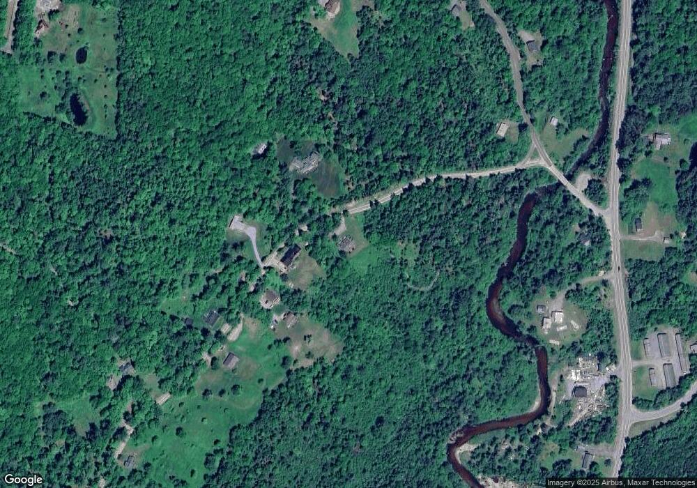
Map
Nearby Homes
- 359 Bickford Hill Rd
- 00 Iron Foundry Rd Unit 153-6
- 112 Fox Hill Ln
- 106 Fox Hill Ln
- 25 Lafayette Rd
- 000 Easton Rd Unit 4-1.1A
- 00 New Hampshire 117 Unit 2
- 572 Wells Rd
- Map 8 Lot 22 Indian Pipe Rd
- 34 Foxglove Ln
- 333 Sunset Hill Rd
- 143 Foxglove Ln
- 1476 Profile Rd
- 1196 Route 117
- 0 Ore Hill Rd Unit 26
- 1318 Route 117
- 14 Summit Dr
- 102 Skyline Dr
- 11 Summit Dr
- 637 Wallace Hill Rd
- 115 Ridge Rd
- 94 Ridge Rd
- 131 Ridge Rd
- 124 Ridge Rd
- 158 Ridge Rd
- 143 Ridge Rd
- 49 Bickford Hill Rd
- 0 Bickford Hill Rd Unit 4250518
- 0 Ridge Rd
- 522 Easton Rd
- 7 Bickford Hill Rd
- 181 Bickford Hill Rd
- 46 Bickford Hill Rd
- 206 Ridge Rd
- 105 Bickford Hill Rd
- 80 Bickford Hill Rd
- 568 Easton Rd
- 503 Easton Rd
- 217 Ridge Rd
- 485 Easton Rd