71 Tower Rd Kittery Point, ME 03905
Kittery Point NeighborhoodEstimated Value: $1,269,000 - $2,231,000
2
Beds
3
Baths
1,295
Sq Ft
$1,295/Sq Ft
Est. Value
About This Home
This home is located at 71 Tower Rd, Kittery Point, ME 03905 and is currently estimated at $1,677,261, approximately $1,295 per square foot. 71 Tower Rd is a home with nearby schools including Horace Mitchell Primary School, Shapleigh School, and Robert W Traip Academy.
Ownership History
Date
Name
Owned For
Owner Type
Purchase Details
Closed on
Nov 30, 2020
Sold by
Mary Tron Ret and Thron
Bought by
Thron Mary
Current Estimated Value
Home Financials for this Owner
Home Financials are based on the most recent Mortgage that was taken out on this home.
Original Mortgage
$240,791
Interest Rate
2.6%
Mortgage Type
Purchase Money Mortgage
Purchase Details
Closed on
Jul 17, 2019
Sold by
Thron Mary
Bought by
Mary Thron Ret and Thron
Purchase Details
Closed on
May 8, 2019
Sold by
Mary Thron Ret and Thron
Bought by
Thron Mary
Home Financials for this Owner
Home Financials are based on the most recent Mortgage that was taken out on this home.
Original Mortgage
$258,153
Interest Rate
4.1%
Mortgage Type
New Conventional
Create a Home Valuation Report for This Property
The Home Valuation Report is an in-depth analysis detailing your home's value as well as a comparison with similar homes in the area
Home Values in the Area
Average Home Value in this Area
Purchase History
| Date | Buyer | Sale Price | Title Company |
|---|---|---|---|
| Thron Mary | -- | None Available | |
| Mary Thron Ret | -- | -- | |
| Thron Mary | -- | -- |
Source: Public Records
Mortgage History
| Date | Status | Borrower | Loan Amount |
|---|---|---|---|
| Previous Owner | Thron Mary | $240,791 | |
| Previous Owner | Thron Mary | $258,153 |
Source: Public Records
Tax History
| Year | Tax Paid | Tax Assessment Tax Assessment Total Assessment is a certain percentage of the fair market value that is determined by local assessors to be the total taxable value of land and additions on the property. | Land | Improvement |
|---|---|---|---|---|
| 2024 | $18,978 | $1,336,500 | $1,043,400 | $293,100 |
| 2023 | $18,190 | $1,336,500 | $1,043,400 | $293,100 |
| 2022 | $18,069 | $1,340,400 | $1,043,400 | $297,000 |
| 2021 | $17,425 | $1,340,400 | $1,043,400 | $297,000 |
| 2020 | $17,291 | $1,340,400 | $1,043,400 | $297,000 |
| 2019 | $15,340 | $881,600 | $663,700 | $217,900 |
| 2018 | $16,071 | $956,600 | $738,700 | $217,900 |
| 2017 | $15,784 | $956,600 | $738,700 | $217,900 |
| 2016 | $15,353 | $956,600 | $738,700 | $217,900 |
| 2015 | $15,038 | $959,700 | $738,700 | $221,000 |
| 2014 | $15,671 | $1,009,700 | $788,700 | $221,000 |
| 2013 | $14,039 | $922,400 | $788,700 | $133,700 |
Source: Public Records
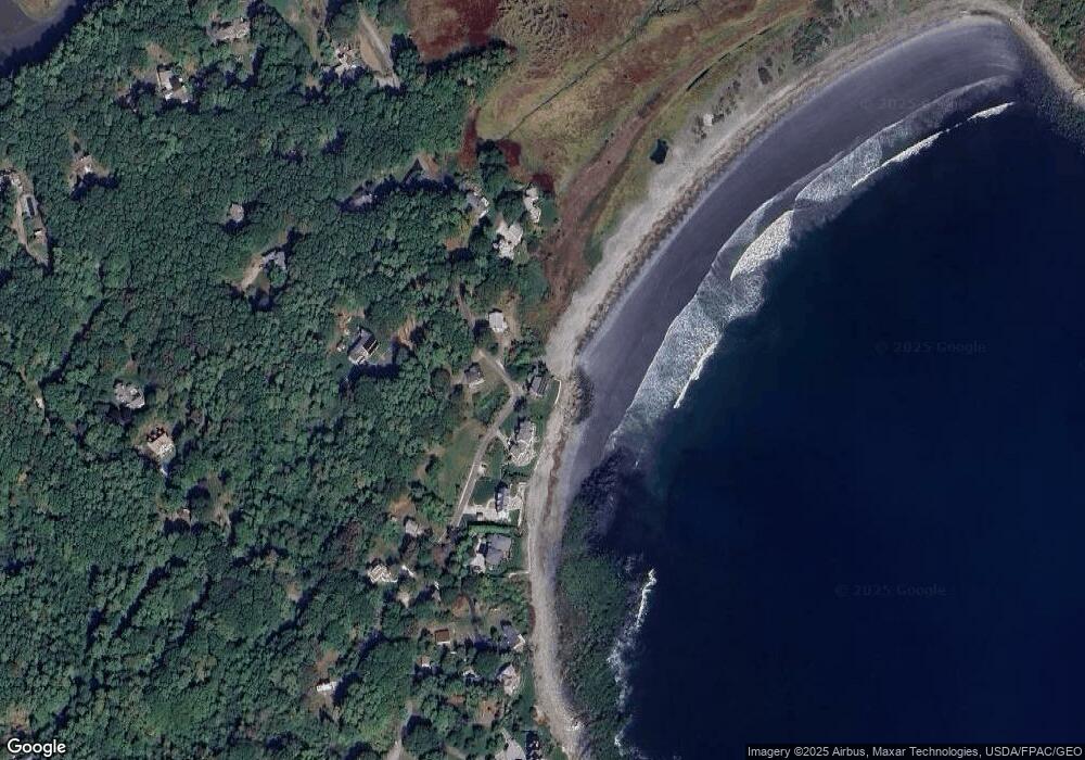
Map
Nearby Homes
- 52 Goodwin Rd
- 112 Brave Boat Harbor Rd
- 25 Bartlett Rd
- 2 Washburn Farm Ln Unit 1
- 7 Washburn Farm Ln Unit 9
- 12 Washburn Farm Ln Unit 3
- 18 Washburn Farm Ln Unit 4
- 24 Seabreeze Ln
- 13 Washburn Farm Ln Unit 7
- 3 Izzy Ln
- 18 Mainmast Cir
- 50 Lewis Rd
- 2 Woodside Meadow Rd
- 8 Spruce Point Rd
- 12 Gillis Dr Unit 3
- 10 Blueberry Ln
- 4 Ice House Point
- 30 Drake Ln
- 8 Grover Ave
- 8 Grover Ln
Your Personal Tour Guide
Ask me questions while you tour the home.