Estimated Value: $527,000 - $738,000
--
Bed
1
Bath
2,932
Sq Ft
$200/Sq Ft
Est. Value
About This Home
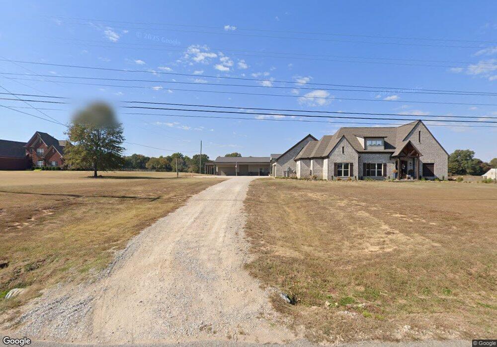
This home is located at 710 Braden Rd, Mason, TN 38049 and is currently estimated at $585,167, approximately $199 per square foot. 710 Braden Rd is a home with nearby schools including Oakland Elementary School, West Junior High School, and Fayette Ware Comprehensive High School.
Ownership History
Date
Name
Owned For
Owner Type
Purchase Details
Closed on
May 16, 2022
Sold by
Gary Deel
Bought by
Shields Jamie Leigh and Shields John Patrick
Current Estimated Value
Home Financials for this Owner
Home Financials are based on the most recent Mortgage that was taken out on this home.
Original Mortgage
$336,000
Outstanding Balance
$318,422
Interest Rate
5.3%
Mortgage Type
New Conventional
Estimated Equity
$266,745
Purchase Details
Closed on
Aug 4, 2017
Sold by
Davis Thomas M and Davis Patsy A
Bought by
Deel Gary
Home Financials for this Owner
Home Financials are based on the most recent Mortgage that was taken out on this home.
Original Mortgage
$268,185
Interest Rate
3.9%
Mortgage Type
Construction
Purchase Details
Closed on
Oct 11, 1978
Bought by
Davis Thomas M
Create a Home Valuation Report for This Property
The Home Valuation Report is an in-depth analysis detailing your home's value as well as a comparison with similar homes in the area
Home Values in the Area
Average Home Value in this Area
Purchase History
| Date | Buyer | Sale Price | Title Company |
|---|---|---|---|
| Shields Jamie Leigh | $480,000 | Closetrak Llc | |
| Deel Gary | $65,000 | None Available | |
| Davis Thomas M | -- | -- |
Source: Public Records
Mortgage History
| Date | Status | Borrower | Loan Amount |
|---|---|---|---|
| Open | Shields Jamie Leigh | $336,000 | |
| Previous Owner | Deel Gary | $268,185 |
Source: Public Records
Tax History Compared to Growth
Tax History
| Year | Tax Paid | Tax Assessment Tax Assessment Total Assessment is a certain percentage of the fair market value that is determined by local assessors to be the total taxable value of land and additions on the property. | Land | Improvement |
|---|---|---|---|---|
| 2025 | $1,524 | $171,450 | $24,625 | $146,825 |
| 2024 | $1,524 | $118,025 | $14,900 | $103,125 |
| 2023 | $1,524 | $118,025 | $0 | $0 |
| 2022 | $1,524 | $118,025 | $14,900 | $103,125 |
| 2021 | $1,524 | $118,025 | $14,900 | $103,125 |
| 2020 | $1,524 | $118,025 | $14,900 | $103,125 |
| 2019 | $1,524 | $101,100 | $14,900 | $86,200 |
| 2018 | $969 | $101,100 | $14,900 | $86,200 |
| 2017 | $225 | $14,900 | $14,900 | $0 |
| 2016 | $242 | $15,100 | $15,100 | $0 |
| 2015 | $242 | $15,100 | $15,100 | $0 |
| 2014 | $242 | $15,100 | $15,100 | $0 |
Source: Public Records
Map
Nearby Homes
- 1215 Beaver Creek Rd
- 1215 Beaver Creek Dr
- 0 Centerpoint Dr Unit 10206050
- 900 Centerpoint Dr
- 265 Oakwood Rd
- 0 Willow Oak Dr
- 15225 U S 70
- 145 Walnut Bend Rd
- 000 Sinai Dr
- 00 Sinai Dr
- 376 Watson Dr
- 370 Watson Drive Extension
- 0 Route 59
- 0 29.71 ACRES Hwy 196 Main St Hwy
- 0 Hwy 196-10acres Main St Hwy Unit 10176123
- TRact #1 Hwy 79 N
- 12112 Main St
- 30 Highway 70 E
- HWY 196 Hwy S
- 5500 Charleston Mason Rd