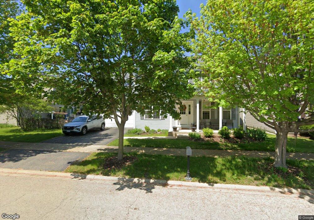
710 Hoover Dr Oswego, IL 60543
Northwest Oswego NeighborhoodEstimated Value: $397,000 - $426,822
4
Beds
3
Baths
2,400
Sq Ft
$172/Sq Ft
Est. Value
About This Home
This home is located at 710 Hoover Dr, Oswego, IL 60543 and is currently estimated at $412,956, approximately $172 per square foot. 710 Hoover Dr is a home located in Kendall County with nearby schools including Fox Chase Elementary School, Traughber Junior High School, and Oswego High School.
Ownership History
Date
Name
Owned For
Owner Type
Purchase Details
Closed on
Sep 9, 2004
Sold by
The Bigelow Group Inc
Bought by
Eclavea Ronnie J and Segreti Sarah A
Current Estimated Value
Home Financials for this Owner
Home Financials are based on the most recent Mortgage that was taken out on this home.
Original Mortgage
$258,169
Outstanding Balance
$128,330
Interest Rate
5.93%
Mortgage Type
Purchase Money Mortgage
Estimated Equity
$284,626
Create a Home Valuation Report for This Property
The Home Valuation Report is an in-depth analysis detailing your home's value as well as a comparison with similar homes in the area
Home Values in the Area
Average Home Value in this Area
Purchase History
| Date | Buyer | Sale Price | Title Company |
|---|---|---|---|
| Eclavea Ronnie J | $272,000 | First American Title |
Source: Public Records
Mortgage History
| Date | Status | Borrower | Loan Amount |
|---|---|---|---|
| Open | Eclavea Ronnie J | $258,169 |
Source: Public Records
Tax History Compared to Growth
Tax History
| Year | Tax Paid | Tax Assessment Tax Assessment Total Assessment is a certain percentage of the fair market value that is determined by local assessors to be the total taxable value of land and additions on the property. | Land | Improvement |
|---|---|---|---|---|
| 2024 | $9,033 | $112,246 | $22,712 | $89,534 |
| 2023 | $8,229 | $99,333 | $20,099 | $79,234 |
| 2022 | $8,229 | $91,131 | $18,439 | $72,692 |
| 2021 | $8,199 | $87,626 | $17,730 | $69,896 |
| 2020 | $8,039 | $85,074 | $17,214 | $67,860 |
| 2019 | $8,509 | $88,646 | $17,214 | $71,432 |
| 2018 | $7,845 | $80,696 | $15,670 | $65,026 |
| 2017 | $7,624 | $74,374 | $14,442 | $59,932 |
| 2016 | $7,332 | $70,497 | $13,689 | $56,808 |
| 2015 | $7,121 | $65,275 | $12,675 | $52,600 |
| 2014 | -- | $61,581 | $11,958 | $49,623 |
| 2013 | -- | $64,115 | $12,451 | $51,664 |
Source: Public Records
Map
Nearby Homes
- 338 Millstream Ln Unit 1
- 514 Bentson St
- 458 Greenview Ln
- 238 Willowwood Dr
- 435 Fawn Dr
- 125 Presidential Blvd Unit 3248
- 602 Clearwater Ct Unit 2
- 608 Clearwater Ct
- 409 Fawn Dr
- 505 Parkland Ct
- 805 Cougar Ln
- LOT 10 SW Station Dr
- 5055 U S 34
- 114 Riverview Ct
- 107 Kristine St
- 2110 State Route 31
- 141 River Mist Dr
- 156 River Mist Dr
- 613 Murdock Place
- 388 Danforth Dr
- 708 Hoover Dr Unit 4
- 618 Roosevelt Dr
- 706 Hoover Dr
- 432 Burr Oak Dr
- 434 Burr Oak Dr
- 430 Burr Oak Dr
- 704 Hoover Dr Unit 4
- 619 Roosevelt Dr
- 617 Roosevelt Dr
- 436 Burr Oak Dr
- 615 Roosevelt Dr
- 702 Hoover Dr
- 701 Hoover Dr
- 428 Burr Oak Dr
- 613 Roosevelt Dr
- 703 Hoover Dr Unit 4
- 429 Burr Oak Dr
- 438 Burr Oak Dr
- 433 Burr Oak Dr
- 611 Roosevelt Dr Unit 4