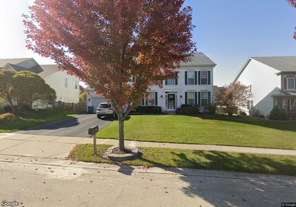
710 Regal Ln Algonquin, IL 60102
High Hill Farms NeighborhoodEstimated Value: $479,855 - $550,000
4
Beds
4
Baths
3,526
Sq Ft
$149/Sq Ft
Est. Value
About This Home
This home is located at 710 Regal Ln, Algonquin, IL 60102 and is currently estimated at $525,214, approximately $148 per square foot. 710 Regal Ln is a home located in McHenry County with nearby schools including Westfield Community School, Kenneth E Neubert Elementary School, and Harry D Jacobs High School.
Ownership History
Date
Name
Owned For
Owner Type
Purchase Details
Closed on
Dec 20, 1999
Sold by
Realen Homes Llc
Bought by
Stumpf Scott E and Stumpf Holly A
Current Estimated Value
Home Financials for this Owner
Home Financials are based on the most recent Mortgage that was taken out on this home.
Original Mortgage
$265,736
Outstanding Balance
$85,636
Interest Rate
8.25%
Estimated Equity
$439,578
Create a Home Valuation Report for This Property
The Home Valuation Report is an in-depth analysis detailing your home's value as well as a comparison with similar homes in the area
Home Values in the Area
Average Home Value in this Area
Purchase History
| Date | Buyer | Sale Price | Title Company |
|---|---|---|---|
| Stumpf Scott E | $280,000 | -- |
Source: Public Records
Mortgage History
| Date | Status | Borrower | Loan Amount |
|---|---|---|---|
| Open | Stumpf Scott E | $265,736 |
Source: Public Records
Tax History
| Year | Tax Paid | Tax Assessment Tax Assessment Total Assessment is a certain percentage of the fair market value that is determined by local assessors to be the total taxable value of land and additions on the property. | Land | Improvement |
|---|---|---|---|---|
| 2024 | $11,811 | $158,987 | $23,347 | $135,640 |
| 2023 | $11,234 | $142,194 | $20,881 | $121,313 |
| 2022 | $11,912 | $144,903 | $21,044 | $123,859 |
| 2021 | $11,446 | $134,994 | $19,605 | $115,389 |
| 2020 | $11,154 | $130,215 | $18,911 | $111,304 |
| 2019 | $10,893 | $124,631 | $18,100 | $106,531 |
| 2018 | $10,402 | $115,133 | $16,721 | $98,412 |
| 2017 | $10,203 | $108,462 | $15,752 | $92,710 |
| 2016 | $10,067 | $101,728 | $14,774 | $86,954 |
| 2013 | -- | $96,157 | $13,783 | $82,374 |
Source: Public Records
Map
Nearby Homes
- 681 Majestic Dr
- 1820 Crofton Dr
- 621 Kirkland Dr
- 1920 Jester Ln
- 700 Fairfield Ln
- 1621 Glengarry Ct Unit 131
- 1157 Sawmill Ln
- 1002 Interloch Ct Unit 152
- 2051 Carlisle St
- 145 S Oakleaf Rd
- 18 Peach Tree Ct Unit 4154
- SWC Talaga and Algonquin Rd
- 2054 Peach Tree Ln Unit 4171
- 2069 Peach Tree Ln Unit 4116
- 7 Falcon Ridge Ct
- 1431 Essex St
- 1 Grandview Ct Unit 8
- 1354 Essex St Unit 2
- 14 Wander Way
- 1900 Waverly Ln
Your Personal Tour Guide
Ask me questions while you tour the home.