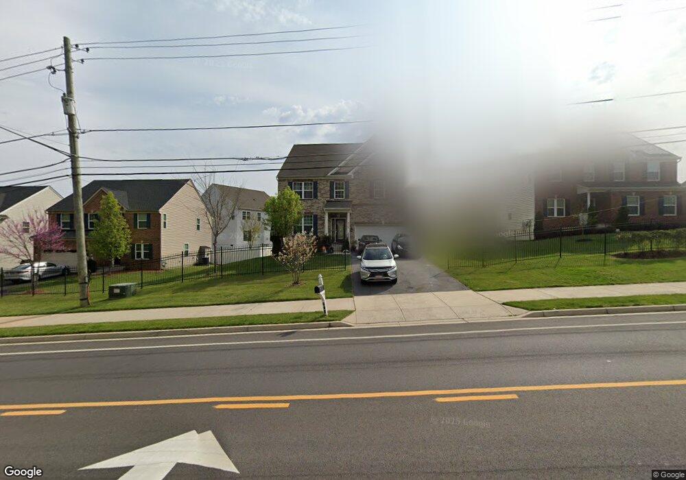
710 Rollins Ave Capitol Heights, MD 20743
Estimated Value: $614,000 - $764,000
--
Bed
1
Bath
3,360
Sq Ft
$197/Sq Ft
Est. Value
About This Home
This home is located at 710 Rollins Ave, Capitol Heights, MD 20743 and is currently estimated at $661,452, approximately $196 per square foot. 710 Rollins Ave is a home located in Prince George's County with nearby schools including Doswell E. Brooks Elementary, Walker Mill Middle School, and Central High School.
Ownership History
Date
Name
Owned For
Owner Type
Purchase Details
Closed on
Mar 25, 2019
Sold by
Williams Michael and Williams Claudia
Bought by
Williams Michael A and Williams Claudia
Current Estimated Value
Home Financials for this Owner
Home Financials are based on the most recent Mortgage that was taken out on this home.
Original Mortgage
$395,298
Outstanding Balance
$338,895
Interest Rate
3.6%
Mortgage Type
FHA
Estimated Equity
$322,557
Purchase Details
Closed on
Apr 4, 2014
Sold by
Beazer Homes Corp
Bought by
Williams Michael and Williams Claudia
Home Financials for this Owner
Home Financials are based on the most recent Mortgage that was taken out on this home.
Original Mortgage
$403,609
Interest Rate
4.25%
Mortgage Type
FHA
Create a Home Valuation Report for This Property
The Home Valuation Report is an in-depth analysis detailing your home's value as well as a comparison with similar homes in the area
Home Values in the Area
Average Home Value in this Area
Purchase History
| Date | Buyer | Sale Price | Title Company |
|---|---|---|---|
| Williams Michael A | -- | Certified Title Corporation | |
| Williams Michael | $411,055 | Real Estate Title & Escrow L |
Source: Public Records
Mortgage History
| Date | Status | Borrower | Loan Amount |
|---|---|---|---|
| Open | Williams Michael A | $395,298 | |
| Closed | Williams Michael | $403,609 |
Source: Public Records
Tax History Compared to Growth
Tax History
| Year | Tax Paid | Tax Assessment Tax Assessment Total Assessment is a certain percentage of the fair market value that is determined by local assessors to be the total taxable value of land and additions on the property. | Land | Improvement |
|---|---|---|---|---|
| 2025 | $8,638 | $605,733 | -- | -- |
| 2024 | $8,638 | $554,467 | $0 | $0 |
| 2023 | $7,875 | $503,200 | $80,900 | $422,300 |
| 2022 | $7,825 | $499,800 | $0 | $0 |
| 2021 | $7,774 | $496,400 | $0 | $0 |
| 2020 | $7,724 | $493,000 | $50,400 | $442,600 |
| 2019 | $7,345 | $467,533 | $0 | $0 |
| 2018 | $6,967 | $442,067 | $0 | $0 |
| 2017 | $6,588 | $416,600 | $0 | $0 |
| 2016 | -- | $416,600 | $0 | $0 |
| 2015 | $127 | $416,600 | $0 | $0 |
| 2014 | $127 | $438,800 | $0 | $0 |
Source: Public Records
Map
Nearby Homes
- 6103 Westin Ct
- 530 Victorianna Dr
- 404 Zelma Ave
- 5707 Falkland Place
- 5717 Falkland Place
- 209 Addison Rd S
- 5814 Folgate Ct
- 0 Rollins Ave Unit MDPG2158618
- 421 Saint Margarets Dr
- 423 Saint Margarets Dr
- 418 Saint Margarets Dr
- 620 Suffolk Ave
- 8 Vale Place
- 5703 Oakford Rd
- 6512 Rolling Ridge Dr
- 5514 Keyworth Ct
- 5625 Oakford Rd
- 11 Tunic Ave
- 6021 Applegarth Place
- 1102 Shumi Ct Unit BR0023-CEDAR
- 6100 Harrington St
- 708 Rollins Ave
- 6102 Harrington St
- 6101 Westin Ct
- 706 Rollins Ave
- 706 Rollins Ave Unit BASEMENT
- 6104 Harrington St
- 701 Rollins Ave
- 6101 Harrington St
- 704 Rollins Ave
- 711 Rollins Ave
- 6105 Westin Ct
- 6106 Harrington St
- 6100 Westin Ct
- 6103 Harrington St
- 702 Rollins Ave
- 800 Rollins Ave
- 6107 Westin Ct
- 6105 Harrington St
- 6102 Westin Ct