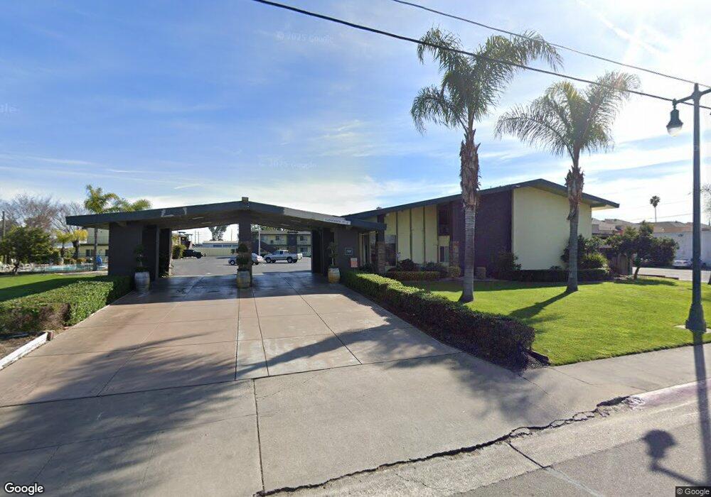
710 S Cherokee Ln Unit 26+ Lodi, CA 95240
East Lodi NeighborhoodEstimated Value: $6,976,970
--
Bed
--
Bath
21,274
Sq Ft
$328/Sq Ft
Est. Value
About This Home
This home is located at 710 S Cherokee Ln Unit 26+, Lodi, CA 95240 and is currently estimated at $6,976,970, approximately $327 per square foot. 710 S Cherokee Ln Unit 26+ is a home located in San Joaquin County with nearby schools including Lois E. Borchardt Elementary School, Lodi Middle School, and Tokay High School.
Ownership History
Date
Name
Owned For
Owner Type
Purchase Details
Closed on
Jul 3, 2017
Sold by
Patel Sandip and Patel Sadhana
Bought by
Vinayak Holdings Llc
Current Estimated Value
Home Financials for this Owner
Home Financials are based on the most recent Mortgage that was taken out on this home.
Original Mortgage
$3,800,000
Outstanding Balance
$3,161,489
Interest Rate
3.94%
Mortgage Type
Commercial
Estimated Equity
$3,815,481
Purchase Details
Closed on
Dec 30, 2009
Sold by
Patel Sandip and Patel Sadhana
Bought by
Patel Sandip and Patel Sadhana
Home Financials for this Owner
Home Financials are based on the most recent Mortgage that was taken out on this home.
Original Mortgage
$1,950,000
Interest Rate
4.92%
Mortgage Type
Commercial
Purchase Details
Closed on
Nov 5, 2009
Sold by
Crown Capital Commercial Corp
Bought by
Patel Sandip and Patel Sadhana
Home Financials for this Owner
Home Financials are based on the most recent Mortgage that was taken out on this home.
Original Mortgage
$1,950,000
Interest Rate
4.92%
Mortgage Type
Commercial
Purchase Details
Closed on
Aug 26, 2009
Sold by
Best Western Royal Host Inn Llc
Bought by
Crown Capital Commercial Corp
Purchase Details
Closed on
May 10, 2000
Sold by
Patel Chetan H and Patel Pradeep R
Bought by
Best Western Royal Host Inn Llc
Home Financials for this Owner
Home Financials are based on the most recent Mortgage that was taken out on this home.
Original Mortgage
$1,474,000
Interest Rate
8.22%
Mortgage Type
Commercial
Purchase Details
Closed on
Dec 29, 1998
Sold by
Patel Prakash J and Patel Sharmistha P
Bought by
Best Western Royal Host Inn
Home Financials for this Owner
Home Financials are based on the most recent Mortgage that was taken out on this home.
Original Mortgage
$235,000
Interest Rate
6.66%
Mortgage Type
Commercial
Create a Home Valuation Report for This Property
The Home Valuation Report is an in-depth analysis detailing your home's value as well as a comparison with similar homes in the area
Home Values in the Area
Average Home Value in this Area
Purchase History
| Date | Buyer | Sale Price | Title Company |
|---|---|---|---|
| Vinayak Holdings Llc | $4,500,000 | Chicago Title Company | |
| Patel Sandip | $300,000 | None Available | |
| Patel Sandip | -- | Old Republic Title Company | |
| Crown Capital Commercial Corp | $752,167 | North American Title Co | |
| Best Western Royal Host Inn Llc | $1,500,000 | Old Republic Title Company | |
| Patel Chetan H | -- | Old Republic Title Company | |
| Best Western Royal Host Inn | -- | Nortwestern Title Company | |
| Best Western Royal Host Inn | -- | Nortwestern Title Company |
Source: Public Records
Mortgage History
| Date | Status | Borrower | Loan Amount |
|---|---|---|---|
| Open | Vinayak Holdings Llc | $3,800,000 | |
| Previous Owner | Patel Sandip | $1,950,000 | |
| Previous Owner | Best Western Royal Host Inn Llc | $1,474,000 | |
| Previous Owner | Best Western Royal Host Inn | $235,000 |
Source: Public Records
Tax History Compared to Growth
Tax History
| Year | Tax Paid | Tax Assessment Tax Assessment Total Assessment is a certain percentage of the fair market value that is determined by local assessors to be the total taxable value of land and additions on the property. | Land | Improvement |
|---|---|---|---|---|
| 2025 | $56,893 | $5,251,007 | $1,109,381 | $4,141,626 |
| 2024 | $55,151 | $5,130,479 | $1,087,629 | $4,042,850 |
| 2023 | $52,513 | $4,855,511 | $1,066,303 | $3,745,736 |
| 2022 | $51,015 | $4,729,303 | $1,045,396 | $3,683,907 |
| 2021 | $51,947 | $4,636,911 | $1,024,899 | $3,612,012 |
| 2020 | $50,597 | $4,588,800 | $1,014,390 | $3,574,410 |
| 2019 | $49,940 | $4,529,080 | $994,500 | $3,534,580 |
| 2018 | $49,984 | $4,511,340 | $975,000 | $3,536,340 |
| 2017 | $30,014 | $2,714,686 | $1,108,035 | $1,606,651 |
| 2016 | $28,132 | $2,661,472 | $1,086,315 | $1,575,157 |
| 2014 | $27,447 | $3,408,771 | $1,049,050 | $2,359,721 |
Source: Public Records
Map
Nearby Homes
- 513 Harold St
- 716 S Central Ave
- 312 E Lodi Ave
- 337 Concord St
- 329 E Walnut St
- 625 E Pine St
- 317 Concord St
- 335 E Oak St
- 113 N Cherokee Ln
- 325 Cypress St
- 337 Acacia St
- 421 E Elm St
- 117 N Garfield St
- 121 N Central Ave
- Lot 8 Raya Rd
- 530 S School St
- 317 Church St
- 621 E Lockeford St Unit 30
- 471 Almond Dr Unit 22
- 471 Almond Dr Unit 89
- 710 S Cherokee Ln
- 720 S Cherokee Ln Unit a
- 720 S Cherokee Ln
- 593 E Tokay St
- 715 S Cherokee Ln
- 721 S Cherokee Ln
- 701 S Cherokee Ln
- 730 S Cherokee Ln
- 725 S Cherokee Ln
- 803 Lloyd St
- 535 Harold St
- 535 1/2 Harold St
- 623 S Cherokee Ln
- 533 Harold St
- 802 Lloyd St
- 538 Harold St
- 809 Lloyd St
- 532 E Tokay St
- 532 E Tokay St
- 736 S Cherokee Ln