711 Swamp Rd Newtown, PA 18940
Estimated Value: $996,000 - $1,892,219
4
Beds
5
Baths
6,100
Sq Ft
$265/Sq Ft
Est. Value
About This Home
This home is located at 711 Swamp Rd, Newtown, PA 18940 and is currently estimated at $1,614,305, approximately $264 per square foot. 711 Swamp Rd is a home located in Bucks County with nearby schools including Wrightstown Elementary School, Newtown Middle School, and Council Rock High School North.
Ownership History
Date
Name
Owned For
Owner Type
Purchase Details
Closed on
Aug 22, 2011
Sold by
Grosso Steve A and Grosso Dorothea B
Bought by
Gallina Thomas P and Gallina Laura
Current Estimated Value
Home Financials for this Owner
Home Financials are based on the most recent Mortgage that was taken out on this home.
Original Mortgage
$920,000
Outstanding Balance
$635,808
Interest Rate
4.53%
Mortgage Type
New Conventional
Estimated Equity
$978,497
Purchase Details
Closed on
Aug 15, 1996
Sold by
Rys John H and Rys Melanie E
Bought by
Grosso Steve A and Grosso Dorothea B
Home Financials for this Owner
Home Financials are based on the most recent Mortgage that was taken out on this home.
Original Mortgage
$324,000
Interest Rate
5.5%
Create a Home Valuation Report for This Property
The Home Valuation Report is an in-depth analysis detailing your home's value as well as a comparison with similar homes in the area
Home Values in the Area
Average Home Value in this Area
Purchase History
| Date | Buyer | Sale Price | Title Company |
|---|---|---|---|
| Gallina Thomas P | $1,150,000 | Commonwealth Land Title Insu | |
| Grosso Steve A | $405,000 | -- |
Source: Public Records
Mortgage History
| Date | Status | Borrower | Loan Amount |
|---|---|---|---|
| Open | Gallina Thomas P | $920,000 | |
| Previous Owner | Grosso Steve A | $324,000 |
Source: Public Records
Tax History Compared to Growth
Tax History
| Year | Tax Paid | Tax Assessment Tax Assessment Total Assessment is a certain percentage of the fair market value that is determined by local assessors to be the total taxable value of land and additions on the property. | Land | Improvement |
|---|---|---|---|---|
| 2025 | $17,841 | $101,020 | $22,000 | $79,020 |
| 2024 | $17,841 | $101,020 | $22,000 | $79,020 |
| 2023 | $17,087 | $101,020 | $22,000 | $79,020 |
| 2022 | $16,920 | $101,020 | $22,000 | $79,020 |
| 2021 | $16,658 | $101,020 | $22,000 | $79,020 |
| 2020 | $16,262 | $101,020 | $22,000 | $79,020 |
| 2019 | $15,889 | $101,020 | $22,000 | $79,020 |
| 2018 | $15,596 | $101,020 | $22,000 | $79,020 |
| 2017 | $14,981 | $101,020 | $22,000 | $79,020 |
| 2016 | $14,981 | $101,020 | $22,000 | $79,020 |
| 2015 | -- | $101,020 | $22,000 | $79,020 |
| 2014 | -- | $101,020 | $22,000 | $79,020 |
Source: Public Records
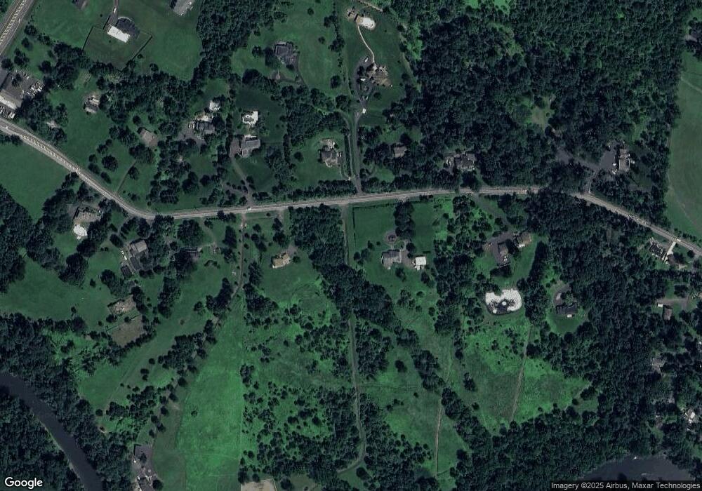
Map
Nearby Homes
- 2145 2nd St
- 887 Worthington Mill Rd
- 577 Sackettsford Rd
- 40 Hallowell Dr
- 69 Beth Dr
- 168 Lehigh Dr
- 38 Bryan Dr
- 28 Dartmouth Ln
- 941 Penns Park
- 2535 Second Street Pike
- 97 Quaker Dr
- 31 Aspen Dr
- 1408 Old Jacksonville Rd
- 52 Paisley Rd
- 288 Jane Chapman Dr E Unit E
- 1390 Old Jacksonville Rd
- Raintree Plan at Lyondale Meadows
- Kingswood Plan at Lyondale Meadows
- Cloverfield Plan at Lyondale Meadows
- Laney Plan at Lyondale Meadows