7110 Buckboard Dr Peyton, CO 80831
Falcon NeighborhoodEstimated Value: $634,000 - $1,053,234
6
Beds
6
Baths
1,950
Sq Ft
$433/Sq Ft
Est. Value
About This Home
This home is located at 7110 Buckboard Dr, Peyton, CO 80831 and is currently estimated at $843,617, approximately $432 per square foot. 7110 Buckboard Dr is a home with nearby schools including Falcon Elementary School Of Technology, Falcon Middle School, and Falcon High School.
Ownership History
Date
Name
Owned For
Owner Type
Purchase Details
Closed on
Jul 15, 2020
Sold by
Mills Randy and Mills Jennifer
Bought by
Focareto Thomas and Focareto Betsy
Current Estimated Value
Home Financials for this Owner
Home Financials are based on the most recent Mortgage that was taken out on this home.
Original Mortgage
$113,528
Outstanding Balance
$90,561
Interest Rate
3.1%
Mortgage Type
Unknown
Estimated Equity
$753,056
Purchase Details
Closed on
Jan 20, 2020
Sold by
Pfost Jack L
Bought by
Mills Randy and Mills Jennifer
Create a Home Valuation Report for This Property
The Home Valuation Report is an in-depth analysis detailing your home's value as well as a comparison with similar homes in the area
Home Values in the Area
Average Home Value in this Area
Purchase History
| Date | Buyer | Sale Price | Title Company |
|---|---|---|---|
| Focareto Thomas | $138,000 | Empire Title Co Springs Llc | |
| Mills Randy | $125,000 | Empire Title Co Springs Llc |
Source: Public Records
Mortgage History
| Date | Status | Borrower | Loan Amount |
|---|---|---|---|
| Open | Focareto Thomas | $113,528 |
Source: Public Records
Tax History
| Year | Tax Paid | Tax Assessment Tax Assessment Total Assessment is a certain percentage of the fair market value that is determined by local assessors to be the total taxable value of land and additions on the property. | Land | Improvement |
|---|---|---|---|---|
| 2025 | $4,408 | $63,210 | -- | -- |
| 2024 | $4,289 | $65,410 | $10,390 | $55,020 |
| 2023 | $4,289 | $65,410 | $10,390 | $55,020 |
| 2022 | $2,885 | $41,550 | $8,950 | $32,600 |
| 2021 | $2,520 | $35,900 | $35,900 | $0 |
| 2020 | $1,730 | $24,530 | $24,530 | $0 |
| 2019 | $1,714 | $24,530 | $24,530 | $0 |
| 2018 | $1,558 | $21,920 | $21,920 | $0 |
| 2017 | $1,427 | $21,920 | $21,920 | $0 |
| 2016 | $861 | $13,050 | $13,050 | $0 |
| 2015 | $862 | $13,050 | $13,050 | $0 |
| 2014 | $806 | $11,980 | $11,980 | $0 |
Source: Public Records
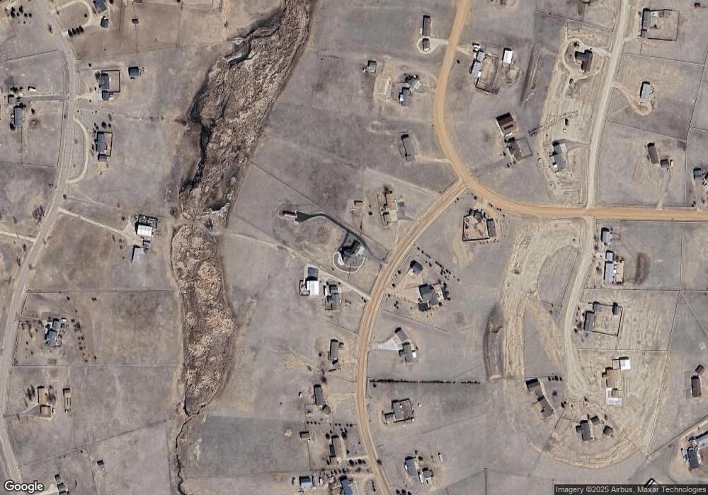
Map
Nearby Homes
- 7055 Buckboard Dr
- 13260 Cottontail Dr
- 6545 Connie Lee Ct
- 6525 Connie Lee Ct
- 7815 Mallard Dr
- 12680 Catch Pen Rd
- 7860 Gladwater Rd
- 7565 Stephenville Rd
- 12093 Merrill Heights
- 5865 E Blaney Rd
- 5915 W Condor Rd
- 7394 Owings Point
- 6535 Gelbvieh Rd
- 6518 Watusi Rd
- 11856 Gorman Grove
- 7627 Loopout Grove
- 11820 Pei Grove
- 7464 Truchas Trail
- 8388 Fort Smith Rd
- 14891 Oscuro Trail
- 7050 Buckboard Dr
- 7170 Buckboard Dr
- 7424 Mallard Dr
- 6990 Buckboard Dr
- 13310 Cottontail Dr
- 6995 Buckboard Dr
- 6930 Buckboard Dr
- 7416 Mallard Dr
- 6875 Buckboard Dr
- 7415 Mallard Dr
- 6870 Buckboard Dr
- 7440 Mallard Dr
- 13250 Cottontail Dr
- 7431 Mallard Dr
- 7412 Chelsey Way
- 6810 Buckboard Dr
- 13360 Cottontail Dr
- 6815 Buckboard Dr
- 7448 Mallard Dr
- 13230 Cottontail Dr
Your Personal Tour Guide
Ask me questions while you tour the home.