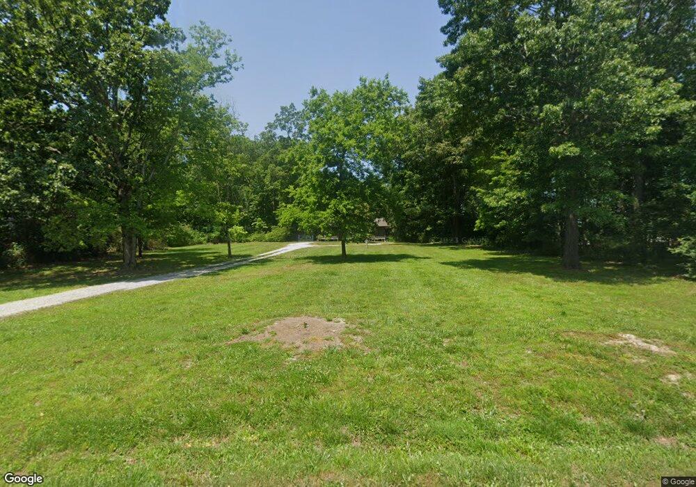
7115 Northwest Hwy Unit 7115 Fairview, TN 37062
Estimated Value: $474,740 - $547,000
3
Beds
3
Baths
2,170
Sq Ft
$240/Sq Ft
Est. Value
About This Home
This home is located at 7115 Northwest Hwy Unit 7115, Fairview, TN 37062 and is currently estimated at $520,185, approximately $239 per square foot. 7115 Northwest Hwy Unit 7115 is a home located in Williamson County with nearby schools including Westwood Elementary School, Fairview Middle School, and Fairview High School.
Ownership History
Date
Name
Owned For
Owner Type
Purchase Details
Closed on
Apr 27, 2015
Sold by
Brother Construction Llc
Bought by
Weed Larry and Weed Joan
Current Estimated Value
Purchase Details
Closed on
Mar 22, 2013
Sold by
Thompson Bob F and Estate Of Irene H Padgett
Bought by
Brother Construction Llc
Purchase Details
Closed on
Aug 2, 2005
Sold by
The Cunningham Partnership
Bought by
Caldwell Jonathan
Create a Home Valuation Report for This Property
The Home Valuation Report is an in-depth analysis detailing your home's value as well as a comparison with similar homes in the area
Home Values in the Area
Average Home Value in this Area
Purchase History
| Date | Buyer | Sale Price | Title Company |
|---|---|---|---|
| Weed Larry | $58,000 | Mid State Title & Escrow Inc | |
| Brother Construction Llc | $30,000 | Trustland Title | |
| Caldwell Jonathan | $36,000 | Key Title & Escrow Services |
Source: Public Records
Tax History Compared to Growth
Tax History
| Year | Tax Paid | Tax Assessment Tax Assessment Total Assessment is a certain percentage of the fair market value that is determined by local assessors to be the total taxable value of land and additions on the property. | Land | Improvement |
|---|---|---|---|---|
| 2024 | $2,047 | $74,250 | $19,800 | $54,450 |
| 2023 | $2,047 | $74,250 | $19,800 | $54,450 |
| 2022 | $2,047 | $74,250 | $19,800 | $54,450 |
| 2021 | $1,396 | $74,250 | $19,800 | $54,450 |
| 2020 | $1,181 | $53,200 | $10,200 | $43,000 |
| 2019 | $1,181 | $53,200 | $10,200 | $43,000 |
| 2018 | $526 | $24,475 | $10,200 | $14,275 |
| 2017 | $356 | $16,700 | $10,200 | $6,500 |
| 2016 | $351 | $16,700 | $10,200 | $6,500 |
| 2015 | -- | $15,050 | $9,425 | $5,625 |
| 2014 | -- | $15,050 | $9,425 | $5,625 |
Source: Public Records
Map
Nearby Homes
- 7456 Cox Pike
- 7455 Cox Pike
- 7511 Cox Pike
- 7201 Cold Harbor Ct
- 7131 Frances St
- 7133 Frances St Unit Lot 26
- 7139 Frances St
- 7137 Frances St
- 7271 Belvoir Dr
- 7514 Shoal Mill Point
- Kingston Plan at Wynwood Park
- Primrose Plan at Wynwood Park
- Mayflower Plan at Wynwood Park
- 7509 Shoal Mill Point
- 7532 Shoal Mill Point
- 7505 Shoal Mill Point
- 7111 Frances St
- 7332 Dutch River Cir
- 7344 Dutch River Cir
- 7341 Dutch River Cir
- 7113 Northwest Hwy Unit 7113
- 7131 Northwest Hwy Unit 7131
- 7462 Cox Pike
- 7464 Cox Pike
- 7458 Cox Pike
- 7201 Mary Susan Ln
- 7208 Polston Ct
- 7118 Northwest Hwy Unit 7118
- 7206 Polston Ct
- 7137 Northwest Hwy
- 7203 Mary Susan Ln
- 7112 Northwest Hwy Unit 7112
- 7465 Cox Pike
- 7207 Polston Ct
- 7292 Northwest Hwy
- 7294 Northwest Hwy
- 7296 Northwest Hwy
- 7298 Northwest Hwy
- 7454 Cox Pike
- 7466 Cox Pike
