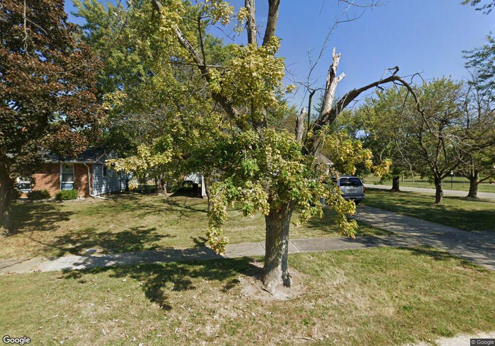
712 Mohawk Dr Lowell, IN 46356
West Creek NeighborhoodEstimated Value: $221,000 - $243,000
3
Beds
1
Bath
960
Sq Ft
$241/Sq Ft
Est. Value
About This Home
This home is located at 712 Mohawk Dr, Lowell, IN 46356 and is currently estimated at $231,255, approximately $240 per square foot. 712 Mohawk Dr is a home located in Lake County with nearby schools including Lowell Middle School and Lowell Senior High School.
Ownership History
Date
Name
Owned For
Owner Type
Purchase Details
Closed on
Jul 7, 2025
Sold by
Hughbanks Larry A and Rodda Virginia Lee
Bought by
Hughbanks Larry A
Current Estimated Value
Purchase Details
Closed on
Nov 10, 2021
Sold by
Jetmund Lenny E
Bought by
Rodda Virginia Lee and Gray Rita S
Purchase Details
Closed on
Sep 26, 2018
Sold by
Jetmund Lenny E
Bought by
Rodda Virginia Lee and Gray Rita S
Purchase Details
Closed on
Feb 16, 2018
Sold by
Jetmund Lenny E and Jetmund Linda M
Bought by
Jetmund Lenny E
Purchase Details
Closed on
Oct 11, 2005
Sold by
Mathew Timothy D and Mathew Jennifer A
Bought by
Jetmund Lenny E and Jetmund Linda M
Home Financials for this Owner
Home Financials are based on the most recent Mortgage that was taken out on this home.
Original Mortgage
$23,250
Interest Rate
5.83%
Mortgage Type
Fannie Mae Freddie Mac
Create a Home Valuation Report for This Property
The Home Valuation Report is an in-depth analysis detailing your home's value as well as a comparison with similar homes in the area
Home Values in the Area
Average Home Value in this Area
Purchase History
| Date | Buyer | Sale Price | Title Company |
|---|---|---|---|
| Hughbanks Larry A | -- | None Listed On Document | |
| Rodda Virginia Lee | -- | None Available | |
| Rodda Virginia Lee | -- | None Available | |
| Jetmund Lenny E | -- | None Available | |
| Jetmund Lenny E | -- | Northwest Indiana Title Serv |
Source: Public Records
Mortgage History
| Date | Status | Borrower | Loan Amount |
|---|---|---|---|
| Previous Owner | Jetmund Lenny E | $23,250 |
Source: Public Records
Tax History
| Year | Tax Paid | Tax Assessment Tax Assessment Total Assessment is a certain percentage of the fair market value that is determined by local assessors to be the total taxable value of land and additions on the property. | Land | Improvement |
|---|---|---|---|---|
| 2025 | $1,695 | $190,300 | $35,700 | $154,600 |
| 2024 | $4,481 | $178,800 | $35,700 | $143,100 |
| 2023 | $1,519 | $170,300 | $35,700 | $134,600 |
| 2022 | $1,519 | $159,300 | $35,700 | $123,600 |
| 2021 | $1,158 | $130,400 | $31,000 | $99,400 |
| 2020 | $1,040 | $123,900 | $31,000 | $92,900 |
| 2019 | $1,083 | $117,600 | $31,000 | $86,600 |
| 2018 | $1,117 | $113,300 | $31,000 | $82,300 |
| 2017 | $1,145 | $116,600 | $31,000 | $85,600 |
| 2016 | $984 | $114,000 | $31,000 | $83,000 |
| 2014 | $973 | $113,200 | $31,000 | $82,200 |
| 2013 | $916 | $106,700 | $31,000 | $75,700 |
Source: Public Records
Map
Nearby Homes
- 715 Cheyenne Dr
- 654 Cheyenne Dr
- 822 Seminole Dr
- 617 Fawn Cir
- 115 N Nichols St
- 872 Valley View Dr
- 615 Debra Kay Dr
- 524 Timberwood Ln
- 631 Debra Kay Dr
- 487 Timber Lake Dr
- The Sierra IIs Plan at Freedom Springs
- The Reynolds Plan at Freedom Springs
- The Phillips IV Plan at Freedom Springs
- The Ocean Springs Plan at Freedom Springs
- The Glendale Plan at Freedom Springs
- The Phillips II Plan at Freedom Springs
- The Cheyenne Plan at Freedom Springs
- The Parkwood Plan at Freedom Springs
- The Ashford P Plan at Freedom Springs
- The Amhurst III Plan at Freedom Springs
- 720 Mohawk Dr
- 711 Cheyenne Dr Unit 10
- 724 Mohawk Dr
- 301 Navajo Trail
- 719 Cheyenne Dr Unit 10
- 709 Mohawk Dr
- 736 Mohawk Dr Unit 10
- 300 Navajo Trail
- 723 Cheyenne Dr
- 721 Mohawk Dr Unit 10
- 740 Mohawk Dr
- 637 Mohawk Dr Unit 10
- 297 Navajo Trail
- 778 Aztec Ct Unit 10
- 660 Mohawk Dr
- 704 Cheyenne Dr
- 731 Mohawk Dr
- 727 Cheyenne Dr Unit 10
- 708 Cheyenne Dr
- 657 Cheyenne Dr
Your Personal Tour Guide
Ask me questions while you tour the home.