712 N Foothills East Cir Payson, AZ 85541
Estimated Value: $1,130,000 - $1,696,000
--
Bed
--
Bath
3,253
Sq Ft
$447/Sq Ft
Est. Value
About This Home
This home is located at 712 N Foothills East Cir, Payson, AZ 85541 and is currently estimated at $1,453,760, approximately $446 per square foot. 712 N Foothills East Cir is a home located in Gila County with nearby schools including Julia Randall Elementary School, Payson Elementary School, and Rim Country Middle School.
Ownership History
Date
Name
Owned For
Owner Type
Purchase Details
Closed on
Sep 14, 2018
Sold by
Stoker Jeffery L and Stoker Family Trust
Bought by
Martin Scott and Martin Helen
Current Estimated Value
Home Financials for this Owner
Home Financials are based on the most recent Mortgage that was taken out on this home.
Original Mortgage
$688,000
Outstanding Balance
$598,741
Interest Rate
4.5%
Mortgage Type
New Conventional
Estimated Equity
$855,019
Purchase Details
Closed on
Dec 4, 2014
Sold by
Parsons Robert J and Parsons Celeste A
Bought by
The Stoker Family Trust
Purchase Details
Closed on
May 24, 2005
Sold by
Young Richard Mitchell Gilpin
Bought by
Parsons Robert J and Parsons Celeste A
Create a Home Valuation Report for This Property
The Home Valuation Report is an in-depth analysis detailing your home's value as well as a comparison with similar homes in the area
Home Values in the Area
Average Home Value in this Area
Purchase History
| Date | Buyer | Sale Price | Title Company |
|---|---|---|---|
| Martin Scott | $860,000 | Pioneer Title Agency | |
| The Stoker Family Trust | $910,000 | Pioneer Title | |
| Parsons Robert J | $300,000 | Pioneer Title Agency |
Source: Public Records
Mortgage History
| Date | Status | Borrower | Loan Amount |
|---|---|---|---|
| Open | Martin Scott | $688,000 |
Source: Public Records
Tax History Compared to Growth
Tax History
| Year | Tax Paid | Tax Assessment Tax Assessment Total Assessment is a certain percentage of the fair market value that is determined by local assessors to be the total taxable value of land and additions on the property. | Land | Improvement |
|---|---|---|---|---|
| 2025 | $7,063 | -- | -- | -- |
| 2024 | $7,063 | $105,461 | $18,941 | $86,520 |
| 2023 | $7,063 | $101,634 | $14,062 | $87,572 |
| 2022 | $6,827 | $64,310 | $14,062 | $50,248 |
| 2021 | $6,372 | $64,312 | $14,063 | $50,249 |
| 2020 | $6,099 | $0 | $0 | $0 |
| 2019 | $5,903 | $0 | $0 | $0 |
| 2018 | $5,519 | $0 | $0 | $0 |
| 2017 | $5,104 | $0 | $0 | $0 |
| 2016 | $4,986 | $0 | $0 | $0 |
| 2015 | $4,531 | $0 | $0 | $0 |
Source: Public Records
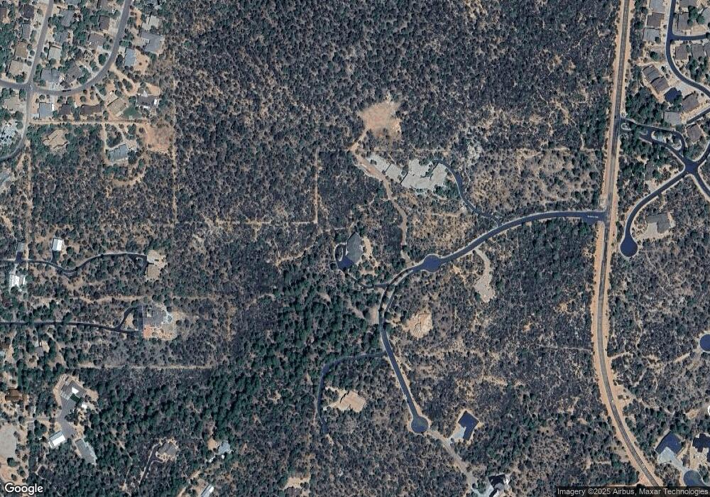
Map
Nearby Homes
- 700 N Tyler Pkwy
- 1201 N Alpine Heights Dr
- 1204 N Camelot Dr
- 906 N Autumn Sage Ct
- 1703 E Redbud Ct
- 1703 E Redbud Ct Unit 878
- 1601 E Velvet Mesquite Ct
- 1303 N Alpine Heights Dr
- 1006 N Autumn Sage Ct
- 1008 N Autumn Sage Ct
- 1008 N Autumn Sage Dr
- 900 N Autumn Sage Ct
- 1303 N Sunshine Ln
- 1708 E Snapdragon Ct
- 1708 E Snap Dragon Ct
- 1415 N Alpine Heights Dr
- 1410 N Sunset Dr
- 1210 E Heather Ct
- 1418 N Sunset Dr
- 1411 N Farview Dr
- 712 N Foothills East Cir Unit 102A
- 712 N Foothills East Cir
- 711 N Foothills East Cir
- 711 N Foothills East Cir Unit 6E
- 711 N Foothills East Cir
- 711 N Foothills East Cir Unit 106
- 704 N Foothills East Cir
- 716 N Foothills Cir E
- 716 N Foothill Cir
- 715 N Foothills East Cir
- 716 N Foothills East Cir
- 703 N Foothills East Cir
- 703 N Foothills East Cir Unit 6A
- 700&701 N Foothills Cir E Unit 5A and 5B
- 717 N Foothills East Cir
- 717 N Foothills East Cir Unit 6C
- 717 N Foothills East Cir Unit 11
- 717 N Foothills East Cir
- 701 N Foothills East Cir Unit 5B
- 701 N Foothills East Cir Unit 5A