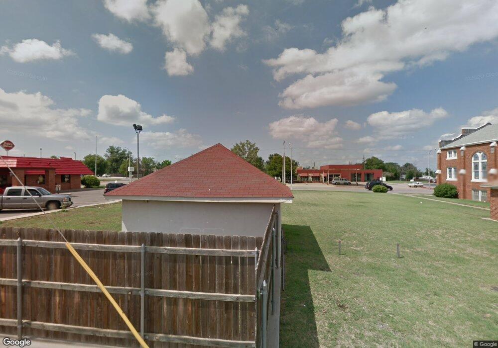
712 W Gary Blvd Clinton, OK 73601
Estimated Value: $33,659
--
Bed
--
Bath
324
Sq Ft
$104/Sq Ft
Est. Value
About This Home
This home is located at 712 W Gary Blvd, Clinton, OK 73601 and is currently estimated at $33,659, approximately $103 per square foot. 712 W Gary Blvd is a home located in Custer County with nearby schools including Nance Elementary School, Southwest Elementary School, and Clinton Middle School.
Ownership History
Date
Name
Owned For
Owner Type
Purchase Details
Closed on
Dec 27, 2024
Sold by
Stay United Sons Llc
Bought by
Cmv Inc
Current Estimated Value
Purchase Details
Closed on
Nov 8, 2023
Sold by
B & A Realty Inc
Bought by
Stay United Sons Llc
Purchase Details
Closed on
Sep 3, 2020
Sold by
Hondo Farms Llc
Bought by
B & A Realty Inc
Purchase Details
Closed on
Sep 6, 2007
Sold by
Michael Lee Robinson
Bought by
Dq Real Est. Development
Purchase Details
Closed on
Oct 30, 2000
Sold by
Skip Heard Realty Inc
Bought by
Michael Robinson
Purchase Details
Closed on
Sep 11, 1997
Sold by
Loren J Lovelace
Bought by
Skip Heard Realty Inc
Purchase Details
Closed on
Sep 6, 1994
Sold by
Kinney and Lovelace
Bought by
Loren J Lovelace
Create a Home Valuation Report for This Property
The Home Valuation Report is an in-depth analysis detailing your home's value as well as a comparison with similar homes in the area
Home Values in the Area
Average Home Value in this Area
Purchase History
| Date | Buyer | Sale Price | Title Company |
|---|---|---|---|
| Cmv Inc | $175,000 | -- | |
| Stay United Sons Llc | $155,000 | -- | |
| B & A Realty Inc | $155,000 | Custer Cnty Abs Co | |
| Dq Real Est. Development | -- | -- | |
| Michael Robinson | $13,500 | -- | |
| Skip Heard Realty Inc | $18,000 | -- | |
| Loren J Lovelace | $2,000 | -- |
Source: Public Records
Tax History Compared to Growth
Tax History
| Year | Tax Paid | Tax Assessment Tax Assessment Total Assessment is a certain percentage of the fair market value that is determined by local assessors to be the total taxable value of land and additions on the property. | Land | Improvement |
|---|---|---|---|---|
| 2025 | $334 | $2,985 | $2,681 | $304 |
| 2024 | $334 | $3,053 | $2,750 | $303 |
| 2023 | $334 | $2,674 | $2,481 | $193 |
| 2022 | $245 | $2,547 | $2,391 | $156 |
| 2021 | $228 | $2,426 | $2,305 | $121 |
| 2020 | $222 | $2,310 | $2,223 | $87 |
| 2019 | $211 | $2,200 | $2,145 | $55 |
| 2018 | $230 | $2,418 | $2,178 | $240 |
| 2017 | $217 | $2,304 | $2,075 | $229 |
| 2016 | $205 | $2,194 | $1,976 | $218 |
| 2015 | $194 | $2,089 | $1,882 | $207 |
| 2014 | $180 | $1,990 | $1,792 | $198 |
Source: Public Records
Map
Nearby Homes
- 921 Dunn Ave
- 905 Prairie Chief Ave
- 412 S 11th St
- 511 S 9th St
- 224 S 2nd St
- 604 N 3rd St
- 701 N 6th St
- 527 S 11th St
- 418 Wise Ave
- 614 S 6th St
- 605 S 5th St
- 616 S 11th St
- 1509 Orient Ave
- 1510 Orient Ave
- 600 Opal Ave Unit LOT
- 1201 Blackstone Ave
- 1300 Wells Ave
- 1419 Pine Ave
- 1709 Nowahy Ave
- 406 S 18th St