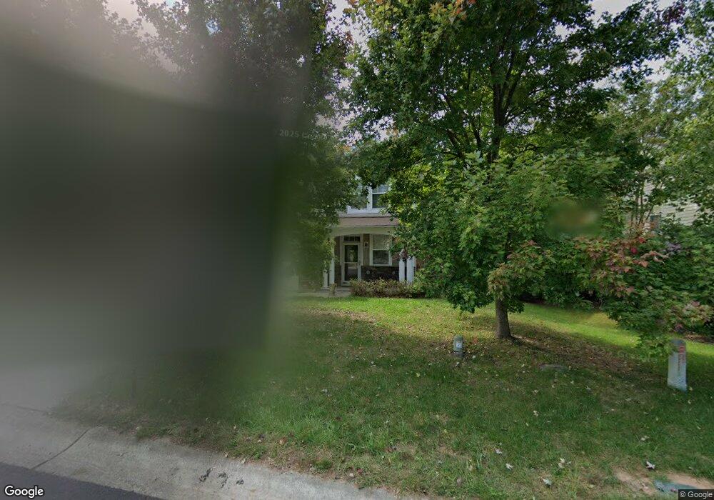
712 Weathervane Dr Durham, NC 27703
Eastern Durham NeighborhoodEstimated Value: $410,000 - $446,000
3
Beds
3
Baths
2,156
Sq Ft
$196/Sq Ft
Est. Value
About This Home
This home is located at 712 Weathervane Dr, Durham, NC 27703 and is currently estimated at $422,645, approximately $196 per square foot. 712 Weathervane Dr is a home located in Durham County with nearby schools including Spring Valley Elementary School, John W Neal Middle School, and Southern School of Energy & Sustainability.
Ownership History
Date
Name
Owned For
Owner Type
Purchase Details
Closed on
Dec 10, 2014
Sold by
Jaeschke Justin R and Jaeschke Amanda
Bought by
Kirkland Betty B and Kirkland Thomas A
Current Estimated Value
Home Financials for this Owner
Home Financials are based on the most recent Mortgage that was taken out on this home.
Original Mortgage
$190,000
Outstanding Balance
$146,074
Interest Rate
4.02%
Mortgage Type
New Conventional
Estimated Equity
$276,571
Purchase Details
Closed on
Mar 21, 2007
Sold by
Kb Home Raleigh Durham Inc
Bought by
Jaeschke Justin R
Home Financials for this Owner
Home Financials are based on the most recent Mortgage that was taken out on this home.
Original Mortgage
$173,285
Interest Rate
5.87%
Mortgage Type
Negative Amortization
Create a Home Valuation Report for This Property
The Home Valuation Report is an in-depth analysis detailing your home's value as well as a comparison with similar homes in the area
Home Values in the Area
Average Home Value in this Area
Purchase History
| Date | Buyer | Sale Price | Title Company |
|---|---|---|---|
| Kirkland Betty B | $200,000 | None Available | |
| Jaeschke Justin R | $217,000 | None Available |
Source: Public Records
Mortgage History
| Date | Status | Borrower | Loan Amount |
|---|---|---|---|
| Open | Kirkland Betty B | $190,000 | |
| Previous Owner | Jaeschke Justin R | $173,285 | |
| Previous Owner | Jaeschke Justin R | $43,321 |
Source: Public Records
Tax History
| Year | Tax Paid | Tax Assessment Tax Assessment Total Assessment is a certain percentage of the fair market value that is determined by local assessors to be the total taxable value of land and additions on the property. | Land | Improvement |
|---|---|---|---|---|
| 2025 | $4,374 | $441,202 | $107,625 | $333,577 |
| 2024 | $3,271 | $234,525 | $49,280 | $185,245 |
| 2023 | $3,072 | $234,525 | $49,280 | $185,245 |
| 2022 | $3,002 | $234,525 | $49,280 | $185,245 |
| 2021 | $2,988 | $234,525 | $49,280 | $185,245 |
| 2020 | $2,917 | $234,525 | $49,280 | $185,245 |
| 2019 | $2,917 | $234,525 | $49,280 | $185,245 |
| 2018 | $2,688 | $198,144 | $36,960 | $161,184 |
| 2017 | $2,668 | $198,144 | $36,960 | $161,184 |
| 2016 | $2,578 | $198,144 | $36,960 | $161,184 |
| 2015 | $2,812 | $203,157 | $44,042 | $159,115 |
| 2014 | $2,812 | $203,157 | $44,042 | $159,115 |
Source: Public Records
Map
Nearby Homes
- 631 Ashburn Ln
- 634 Conover Rd
- 639 Conover Rd Unit A
- 639 Conover Rd Unit B
- 635 Conover Rd Unit A
- 635 Conover Rd Unit B
- 637 Conover Rd Unit B
- 6 Spicewood Ct
- 607 Ravenstone Ln
- 508 Ashburn Ln
- 2024 Bunchberry Ln
- 339 Olive Branch Rd
- 1057 Arbor Edge Ln
- 618 Starry Sky Dr
- 626 Starry Sky Dr
- 403 Ravenstone Ln
- 636 Starry Sky Dr
- 428 Holly Blossom Dr
- 817 Hester Rd
- 2007 Rockface Way
- 710 Weathervane Dr
- 716 Weathervane Dr
- 718 Weathervane Dr
- 711 Weathervane Dr
- 715 Weathervane Dr
- 709 Weathervane Dr
- 720 Weathervane Dr
- 706 Weathervane Dr
- 707 Weathervane Dr
- 719 Weathervane Dr
- 711 Ashburn Ln
- 722 Weathervane Dr
- 713 Ashburn Ln
- 704 Weathervane Dr
- 102 Rondelay Dr
- 715 Ashburn Ln
- 4 Red Sage Ct
- 702 Weathervane Dr
- 6 Red Sage Ct
- 101 Rondelay Dr
Your Personal Tour Guide
Ask me questions while you tour the home.