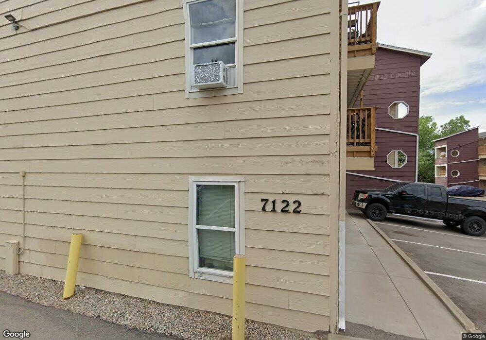
7122 S Bryant St Unit 112 Littleton, CO 80120
Heritage NeighborhoodEstimated Value: $264,000 - $312,000
2
Beds
2
Baths
937
Sq Ft
$318/Sq Ft
Est. Value
About This Home
This home is located at 7122 S Bryant St Unit 112, Littleton, CO 80120 and is currently estimated at $298,137, approximately $318 per square foot. 7122 S Bryant St Unit 112 is a home located in Arapahoe County with nearby schools including Centennial Academy Of Fine Arts Education, Goddard Middle School, and Heritage High School.
Ownership History
Date
Name
Owned For
Owner Type
Purchase Details
Closed on
May 29, 1991
Sold by
The Hartford Investment Fund Inc
Bought by
Wolhurst Point
Current Estimated Value
Purchase Details
Closed on
Nov 17, 1986
Sold by
Conversion Arapco
Bought by
United Savings Bank Of Wyoming F S B
Purchase Details
Closed on
Apr 1, 1986
Sold by
Conversion Arapco
Bought by
Conversion Arapco
Purchase Details
Closed on
Jan 30, 1986
Bought by
Conversion Arapco
Create a Home Valuation Report for This Property
The Home Valuation Report is an in-depth analysis detailing your home's value as well as a comparison with similar homes in the area
Home Values in the Area
Average Home Value in this Area
Purchase History
| Date | Buyer | Sale Price | Title Company |
|---|---|---|---|
| Wolhurst Point | -- | -- | |
| The Hartford Investment Fund Inc | -- | -- | |
| United Savings Bank Of Wyoming F S B | -- | -- | |
| Conversion Arapco | -- | -- | |
| Conversion Arapco | -- | -- |
Source: Public Records
Tax History Compared to Growth
Tax History
| Year | Tax Paid | Tax Assessment Tax Assessment Total Assessment is a certain percentage of the fair market value that is determined by local assessors to be the total taxable value of land and additions on the property. | Land | Improvement |
|---|---|---|---|---|
| 2024 | $1,512 | $15,812 | -- | -- |
| 2023 | $1,512 | $15,812 | $0 | $0 |
| 2022 | $1,435 | $14,136 | $0 | $0 |
| 2021 | $1,431 | $14,136 | $0 | $0 |
| 2020 | $1,463 | $14,865 | $0 | $0 |
| 2019 | $1,376 | $14,865 | $0 | $0 |
| 2018 | $955 | $10,966 | $0 | $0 |
| 2017 | $885 | $10,966 | $0 | $0 |
| 2016 | $725 | $8,637 | $0 | $0 |
| 2015 | $727 | $8,637 | $0 | $0 |
| 2014 | -- | $6,336 | $0 | $0 |
| 2013 | -- | $5,730 | $0 | $0 |
Source: Public Records
Map
Nearby Homes
- 7132 S Bryant St Unit 232
- 7120 S Clay St
- 2979 W Rowland Place
- 2908 W Rowland Ave
- 7226 S Highland Dr
- 2957 W Rowland Ave
- 2812 W Davies Dr
- 6921 S Bryant St
- 7420 S Houstoun Waring Cir
- 7391 S Costilla St
- 2443 W Sunset Dr
- 6705 S Santa fe Dr Unit 47
- 2986 W Long Dr Unit A
- 2410 W Jamison Way
- 2783 W Long Dr Unit B
- 7707 S Curtice Way Unit D
- 2987 W Long Dr Unit A
- 71 Wild Plum Ln
- 7761 S Curtice Dr Unit D
- 7761 S Curtice Dr Unit C
- 7122 S Bryant St Unit 135
- 7122 S Bryant St Unit 134
- 7122 S Bryant St Unit 133
- 7122 S Bryant St Unit 131
- 7122 S Bryant St Unit 126
- 7122 S Bryant St Unit 125
- 7122 S Bryant St Unit 124
- 7122 S Bryant St Unit 123
- 7122 S Bryant St Unit 122
- 7122 S Bryant St Unit 121
- 7122 S Bryant St Unit 116
- 7122 S Bryant St Unit 115
- 7122 S Bryant St Unit 114
- 7122 S Bryant St Unit 113
- 7122 S Bryant St Unit 111
- 7122 S Bryant St
- 7132 S Bryant St Unit 236
- 7132 S Bryant St Unit 235
- 7132 S Bryant St Unit 234
- 7132 S Bryant St Unit 233