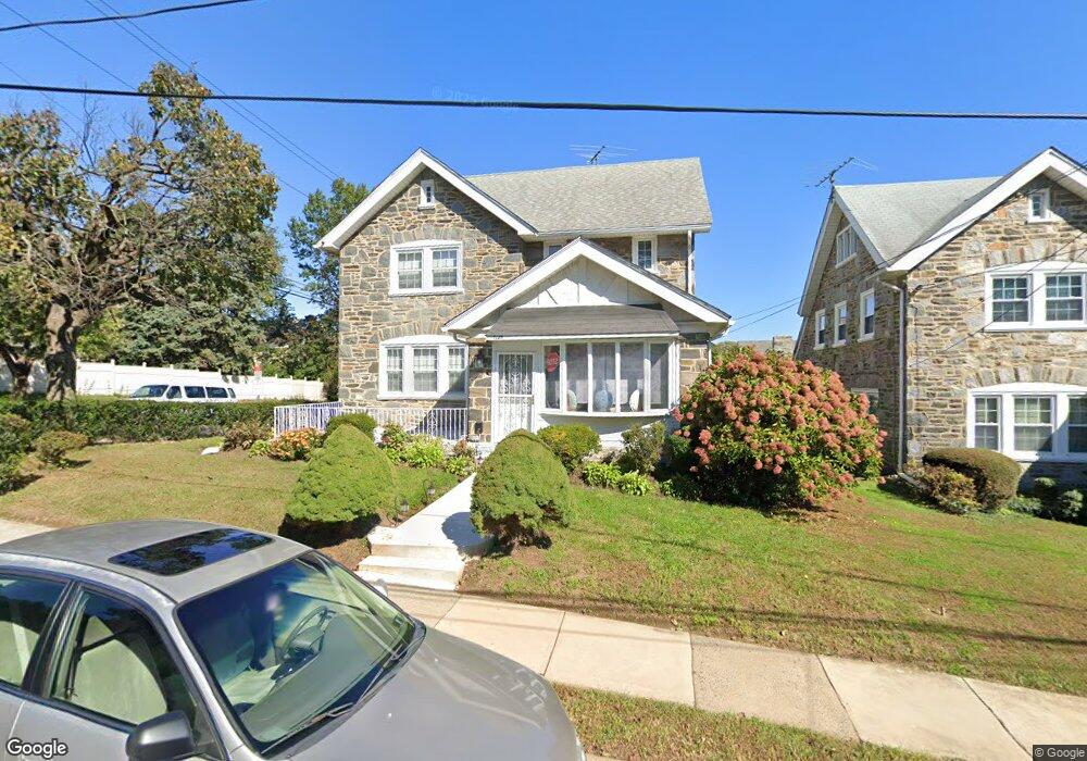
7125 Hazel Ave Upper Darby, PA 19082
Estimated Value: $385,105 - $455,000
5
Beds
2
Baths
2,455
Sq Ft
$170/Sq Ft
Est. Value
About This Home
This home is located at 7125 Hazel Ave, Upper Darby, PA 19082 and is currently estimated at $417,526, approximately $170 per square foot. 7125 Hazel Ave is a home located in Delaware County with nearby schools including Drexel Hill Middle School, Upper Darby High School, and St. Laurence's School.
Ownership History
Date
Name
Owned For
Owner Type
Purchase Details
Closed on
Aug 21, 1995
Sold by
Wellington Frederic M and Wellington Barbara Sado
Bought by
Jones Jacqueline and Smith Venelia
Current Estimated Value
Home Financials for this Owner
Home Financials are based on the most recent Mortgage that was taken out on this home.
Original Mortgage
$132,004
Interest Rate
7.81%
Mortgage Type
FHA
Create a Home Valuation Report for This Property
The Home Valuation Report is an in-depth analysis detailing your home's value as well as a comparison with similar homes in the area
Home Values in the Area
Average Home Value in this Area
Purchase History
| Date | Buyer | Sale Price | Title Company |
|---|---|---|---|
| Jones Jacqueline | $136,000 | Commonwealth Land Title Ins |
Source: Public Records
Mortgage History
| Date | Status | Borrower | Loan Amount |
|---|---|---|---|
| Closed | Jones Jacqueline | $132,004 |
Source: Public Records
Tax History Compared to Growth
Tax History
| Year | Tax Paid | Tax Assessment Tax Assessment Total Assessment is a certain percentage of the fair market value that is determined by local assessors to be the total taxable value of land and additions on the property. | Land | Improvement |
|---|---|---|---|---|
| 2025 | $7,857 | $185,790 | $39,730 | $146,060 |
| 2024 | $7,857 | $185,790 | $39,730 | $146,060 |
| 2023 | $7,783 | $185,790 | $39,730 | $146,060 |
| 2022 | $7,574 | $185,790 | $39,730 | $146,060 |
| 2021 | $10,213 | $185,790 | $39,730 | $146,060 |
| 2020 | $6,559 | $101,390 | $28,550 | $72,840 |
| 2019 | $6,443 | $101,390 | $28,550 | $72,840 |
| 2018 | $6,369 | $101,390 | $0 | $0 |
| 2017 | $6,204 | $101,390 | $0 | $0 |
| 2016 | $556 | $101,390 | $0 | $0 |
| 2015 | $556 | $101,390 | $0 | $0 |
| 2014 | $556 | $101,390 | $0 | $0 |
Source: Public Records
Map
Nearby Homes
- 7226 Penarth Ave
- 7011 Hazel Ave
- 1434 Bywood Ave
- 362 Margate Rd
- 367 Margate Rd
- 207 Berbro Ave
- 46 S State Rd
- 318 Margate Rd
- 312 Bayard Rd
- 7409 Miller Ave
- 512 Fairfield Ave
- 9 Berbro Ave
- 18 Elm Ave
- 107 S Keystone Ave
- 7920 W Chester Pike
- 244 Wembly Rd
- 1806 Garrett Rd
- 7269 Walnut St
- 7819 Westview Ave
- 25 N Pennock Ave
- 7123 Hazel Ave
- 7124 Penarth Ave
- 7122 Penarth Ave
- 7201 Hazel Ave
- 7120 Penarth Ave
- 7119 Hazel Ave
- 7124 Hazel Ave
- 7122 Hazel Ave
- 1105 S Keystone Ave
- 7120 Hazel Ave
- 7118 Penarth Ave
- 7207 Hazel Ave
- 7117 Hazel Ave
- 7118 Hazel Ave
- 1103 S Keystone Ave
- 7125 Llanfair Rd
- 7200 Hazel Ave
- 7116 Penarth Ave
- 7121 Llanfair Rd
- 7125 Penarth Ave