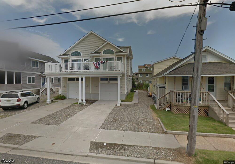
713 21st St Avalon, NJ 08202
Estimated Value: $2,121,631 - $2,590,000
--
Bed
--
Bath
1,862
Sq Ft
$1,224/Sq Ft
Est. Value
About This Home
This home is located at 713 21st St, Avalon, NJ 08202 and is currently estimated at $2,279,408, approximately $1,224 per square foot. 713 21st St is a home located in Cape May County with nearby schools including Avalon Elementary School.
Ownership History
Date
Name
Owned For
Owner Type
Purchase Details
Closed on
Feb 13, 2017
Sold by
Boyle Jeffrey R
Bought by
Boyle Jeffrey R
Current Estimated Value
Purchase Details
Closed on
Apr 4, 2003
Sold by
713 21St Street Associates
Bought by
O'Brien Joseph W
Home Financials for this Owner
Home Financials are based on the most recent Mortgage that was taken out on this home.
Original Mortgage
$421,000
Outstanding Balance
$182,319
Interest Rate
5.86%
Estimated Equity
$2,097,089
Purchase Details
Closed on
Aug 23, 2002
Sold by
Millar Robert
Bought by
712 21St Street Assoc
Home Financials for this Owner
Home Financials are based on the most recent Mortgage that was taken out on this home.
Original Mortgage
$500,000
Interest Rate
6.57%
Create a Home Valuation Report for This Property
The Home Valuation Report is an in-depth analysis detailing your home's value as well as a comparison with similar homes in the area
Home Values in the Area
Average Home Value in this Area
Purchase History
| Date | Buyer | Sale Price | Title Company |
|---|---|---|---|
| Boyle Jeffrey R | -- | None Available | |
| O'Brien Joseph W | $527,000 | -- | |
| Boyle Jeffrey R | $527,000 | -- | |
| 712 21St Street Assoc | $375,000 | -- | |
| Millar Robert | $375,000 | -- |
Source: Public Records
Mortgage History
| Date | Status | Borrower | Loan Amount |
|---|---|---|---|
| Open | Boyle Jeffrey R | $421,000 | |
| Closed | Boyle Jeffrey R | $322,000 | |
| Previous Owner | Millar Robert | $500,000 |
Source: Public Records
Tax History Compared to Growth
Tax History
| Year | Tax Paid | Tax Assessment Tax Assessment Total Assessment is a certain percentage of the fair market value that is determined by local assessors to be the total taxable value of land and additions on the property. | Land | Improvement |
|---|---|---|---|---|
| 2025 | $4,704 | $766,200 | $450,000 | $316,200 |
| 2024 | $4,704 | $766,200 | $450,000 | $316,200 |
| 2023 | $4,666 | $766,200 | $450,000 | $316,200 |
| 2022 | $4,352 | $766,200 | $450,000 | $316,200 |
| 2021 | $4,191 | $766,200 | $450,000 | $316,200 |
| 2020 | $4,030 | $766,200 | $450,000 | $316,200 |
| 2019 | $3,908 | $766,200 | $450,000 | $316,200 |
| 2018 | $3,739 | $766,200 | $450,000 | $316,200 |
| 2017 | $3,249 | $584,300 | $325,000 | $259,300 |
| 2016 | $3,214 | $584,300 | $325,000 | $259,300 |
| 2015 | $3,161 | $584,300 | $325,000 | $259,300 |
| 2014 | $3,126 | $584,300 | $325,000 | $259,300 |
Source: Public Records
Map
Nearby Homes
- 647 Barry Rd
- 503 20th St
- 440 21st St Unit South (B)
- 415 20th St
- 431 24th St
- 890 21st St
- 389 22nd St
- 704 Old Avalon Blvd
- 297 24th St Unit 297
- 297 24th St
- 2425 Harbor Ave Unit 2425
- 211 23rd St
- 178 19th St
- 212 25th St
- 212 25th St Unit East Unit
- 279 13th St Unit C-6
- 279 13th St
- 174 23rd St
- 161 24th St
- 9 Seabreeze Ln
- 715 21st St
- 703 21st St
- 703 21st St
- 703 21st St Unit A
- 703 21st St Unit Front
- 723 21st St
- 2012 7th Ave
- 714 Sunrise Dr
- 733 21st St
- 732 Sunrise Dr
- 2007 7th Ave Unit 2007
- 697 21st St
- 699 21st St Unit 2nd Floor
- 743 21st St
- 698 Sunrise Dr
- 2005 7th Ave Unit 2005
- 2005 7th Ave Unit First
- 742 Sunrise Dr
- 695 21st St Unit A
- 695 21st St