713 Chandler Rd Unit U115 Gurnee, IL 60031
Estimated Value: $174,000 - $215,000
1
Bed
2
Baths
956
Sq Ft
$197/Sq Ft
Est. Value
About This Home
This home is located at 713 Chandler Rd Unit U115, Gurnee, IL 60031 and is currently estimated at $187,923, approximately $196 per square foot. 713 Chandler Rd Unit U115 is a home located in Lake County with nearby schools including Woodland Primary School, Woodland Elementary School, and Woodland Intermediate School.
Ownership History
Date
Name
Owned For
Owner Type
Purchase Details
Closed on
Sep 16, 1997
Sold by
James Vernon C and Sanew Karen L
Bought by
Burgo David A
Current Estimated Value
Home Financials for this Owner
Home Financials are based on the most recent Mortgage that was taken out on this home.
Original Mortgage
$58,900
Interest Rate
7.55%
Mortgage Type
Balloon
Purchase Details
Closed on
Apr 14, 1995
Sold by
Caffoe Mary O
Bought by
James Vernon C and Sanew Karen L
Home Financials for this Owner
Home Financials are based on the most recent Mortgage that was taken out on this home.
Original Mortgage
$58,950
Interest Rate
8.55%
Purchase Details
Closed on
Jan 12, 1995
Sold by
Caffoe Mary O
Bought by
Caffoe Mary O and Mary O Caffoe Living Trust
Create a Home Valuation Report for This Property
The Home Valuation Report is an in-depth analysis detailing your home's value as well as a comparison with similar homes in the area
Home Values in the Area
Average Home Value in this Area
Purchase History
| Date | Buyer | Sale Price | Title Company |
|---|---|---|---|
| Burgo David A | $46,666 | Burnet Title Llc | |
| James Vernon C | $65,500 | -- | |
| Caffoe Mary O | -- | -- |
Source: Public Records
Mortgage History
| Date | Status | Borrower | Loan Amount |
|---|---|---|---|
| Closed | Burgo David A | $58,900 | |
| Previous Owner | James Vernon C | $58,950 |
Source: Public Records
Tax History Compared to Growth
Tax History
| Year | Tax Paid | Tax Assessment Tax Assessment Total Assessment is a certain percentage of the fair market value that is determined by local assessors to be the total taxable value of land and additions on the property. | Land | Improvement |
|---|---|---|---|---|
| 2024 | $3,022 | $41,735 | $8,185 | $33,550 |
| 2023 | $3,022 | $38,747 | $7,599 | $31,148 |
| 2022 | $2,696 | $33,654 | $5,929 | $27,725 |
| 2021 | $2,252 | $30,475 | $5,369 | $25,106 |
| 2020 | $2,169 | $29,726 | $5,237 | $24,489 |
| 2019 | $2,100 | $28,863 | $5,085 | $23,778 |
| 2018 | $1,176 | $19,074 | $2,240 | $16,834 |
| 2017 | $1,156 | $18,528 | $2,176 | $16,352 |
| 2016 | $1,125 | $17,703 | $2,079 | $15,624 |
| 2015 | $1,069 | $16,790 | $1,972 | $14,818 |
| 2014 | $1,166 | $17,810 | $1,945 | $15,865 |
| 2012 | $2,498 | $17,947 | $1,960 | $15,987 |
Source: Public Records
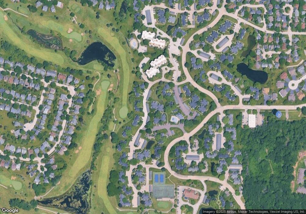
Map
Nearby Homes
- 690 Chandler Rd Unit 302
- 690 Chandler Rd Unit 207
- 650 Whitney Ct Unit 203
- 650 Whitney Ct Unit 108
- 740 Chandler Rd Unit U85
- 651 White Ct
- 761 Creekside Cir Unit 93
- 920 Vose Dr Unit 202
- 920 Vose Dr Unit 106
- 920 Vose Dr Unit 208
- 6296 Doral Dr
- 706 Owl Creek Ln
- 6183 Old Farm Ln Unit 3
- 6091 Washington St
- 17150 Washington St
- 34026 N White Oak Ln Unit 48C
- 34110 N White Oak Ln Unit 37B
- 17298 W Maple Ln
- 17438 W Walnut Ln Unit 2F
- 17404 W Walnut Ln Unit 2C
- 715 Chandler Rd Unit U116
- 711 Chandler Rd Unit U114
- 709 Chandler Rd Unit U113
- 707 Chandler Rd
- 705 Chandler Rd
- 703 Chandler Rd Unit U110
- 701 Chandler Rd Unit U109
- 706 Chandler Rd Unit U102
- 700 Wakefield Rd
- 717 Shepard Rd Unit U121
- 709 Shepard Rd Unit U117
- 713 Shepard Rd Unit U119
- 712 Chandler Rd
- 702 Wakefield Rd Unit U129
- 708 Chandler Rd Unit U101
- 721 Shepard Rd
- 710 Chandler Rd Unit 100
- 704 Chandler Rd
- 698 Wakefield Rd
- 719 Shepard Rd Unit U122